Nautisk Fritid er nå en del av Kart.no – Norges største nettbutikk for kart og navigasjon.
Kartbutikken.no er nå en del av Kart.no – Norges største nettbutikk for kart og navigasjon.
0
0,00 €
CREATE YOUR OWN MAP
https://kart.no/produkt/custom-map/
Hiking Maps and Outdoor Activities
Norwegian Hiking Maps
Swedish Hiking Maps
Svalbard and Antarctica
Create Your Own Hiking Map
Nautical Charts and Navigation
Paper nautical charts
Harbour books and pilot guides
Logbooks
Maritime publications
Navigation and equipment
Nautical literature
Create your own nautical chart
Road Maps and Travel Guides
Road Maps – Norway
Road Maps – Nordic Countries
Road Maps for Europe
World
Wall Maps and Interior Design
Map of Norway
County Maps
Municipal Maps
Svalbard Charts
Nautical Charts
Historical maps
Map of Europe
World map
Create Your Own Wall Map
Frequently Asked Questions
Gift Card
Delivery
About Us
Inkl. mva
Excl. VAT
€ – EUR
kr – NOK
kr – SEK
kr. – DKK
Products search
Inkl. mva
Excl. VAT
€ – EUR
kr – NOK
kr – SEK
kr. – DKK
Turkart og friluftsliv
Sjøkart og navigasjon
Veikart og reiseguider
Veggkart og interiør
Hjem
/
Nautical Charts (Paper) – United Kingdom
/
Page 2
Nautical Charts (Paper) – United Kingdom
Official Nautical Charts – United Kingdom
Recreational nautical Charts – United Kingdom
Filter
Showing 21–24 of 24 results
Sort by popularity
Sort by latest
Sort by price: low to high
Sort by price: high to low
Sorter alfabetisk (A-Å)
In stock
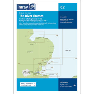
The River Thames – Imray C2
36,27
€
Add to cart
In stock
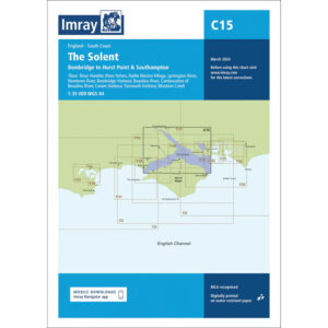
The Solent – Imray C15
36,27
€
Add to cart
Low stock
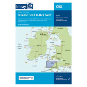
Trevose Head to Bull Point – Imray C58
36,27
€
Add to cart
Low stock
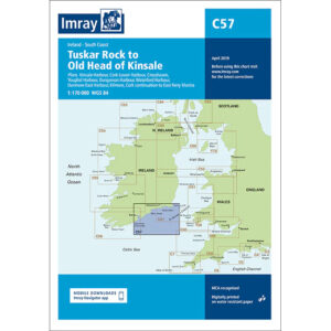
Tuskar Rock to Old Head of Kinsale – Imray C57
36,27
€
Add to cart
←
1
2
Close filter
[wcpf_filters id=”188″]
Min handlekurv
Products in cart
Product
Details
Total
Available on backorder
Previous price:
Discounted price:
/
/
−
+
Save
Din handlekurv er nå tom!
Start shopping
Notifications