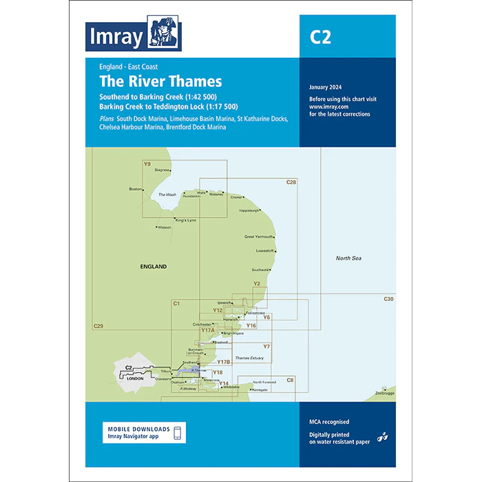
Description
This boating map covers the River Thames from Southend-on-Sea through the Thames to the central London area. The map includes detailed plans for the Southend to Barking Creek and Barking Creek to Teddington Lock stretches, as well as port and marina areas along the river.
The map includes detailed plans for South Dock Marina, Limehouse Basin Marina, St Katharine Docks, Chelsea Harbour Marina and Brentford Dock Marina, among others. It is well suited to leisure boats and sailboats navigating the Thames, either for local river sailing or as part of longer routes between the North Sea and London.
The River Thames is a heavily trafficked waterway with commercial shipping, tidal currents and complex navigational conditions. The map provides a solid foundation for safe navigation, precise route planning and good overview in an urban and tidal river environment.
Imray is a recognized British chart manufacturer with extensive experience in nautical cartography for leisure and long-distance sailing. Their charts are developed with a focus on high readability, practical use and clear presentation of navigation-relevant information.