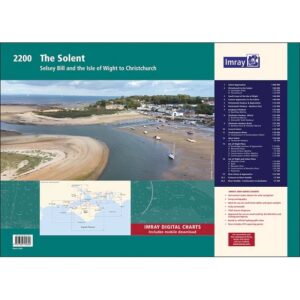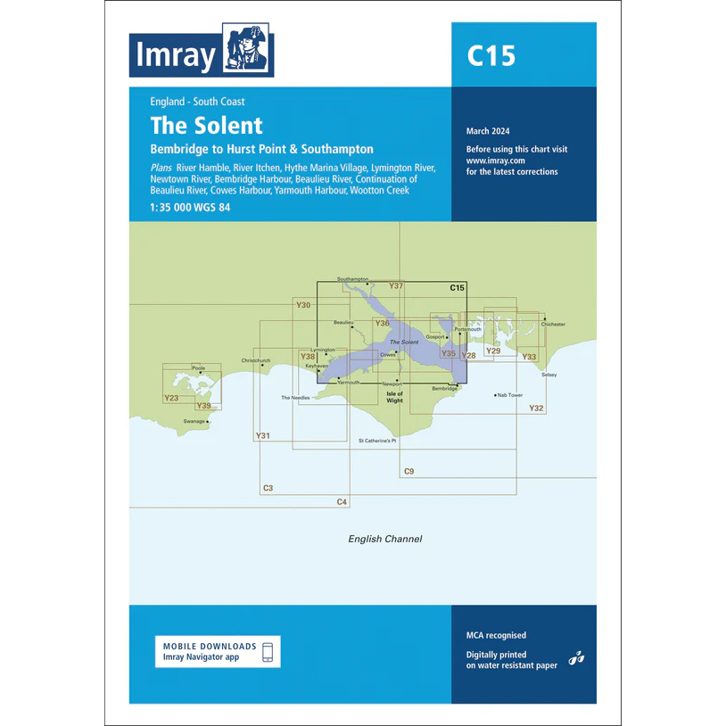
Description
This boating map covers the Solent on the south coast of England, from Bembridge on the Isle of Wight to Hurst Point and Southampton Water. The map includes detailed plans and approaches to key rivers, harbors and marinas in one of the UK’s busiest recreational boating areas.
The map includes the River Hamble, River Itchen, River Test, Beaulieu River, Lymington River and Newton River, as well as harbors and marinas such as Cowes Harbour, Yarmouth Harbour, Bembridge Harbour, Portsmouth Harbour, Southampton and Wootton Creek. The area is known for heavy boat traffic, strong tidal currents and complex shipping lanes.
The chart is ideal for yachts and sailboats sailing locally in the Solent area or using the area as a base for further sailing in the English Channel. Imray is a renowned British chart manufacturer and their charts are developed with a focus on high readability, practical use and clear presentation of navigation-relevant information.