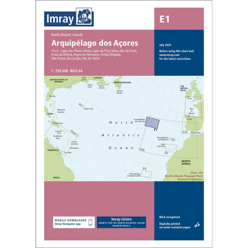
Description
This boating chart covers the Azores in the North Atlantic and is designed for recreational boating and sailing in the area around the archipelago. The chart provides a comprehensive overview of the nine islands of the Azores, with coastlines, sea areas and important approaches relevant for sailing between the islands and for ocean crossings in the North Atlantic.
The map is suitable for route planning and overview navigation, and is often used as a supplement to more detailed port and coastal maps. It provides a clear picture of distances, open sea areas and strategic route choices when calling at and sailing between the islands.
Imray is a renowned British chart manufacturer with extensive experience in nautical charts and publications for leisure boats. Their charts are developed with a focus on practical on-board use, combining clear cartography with reliable nautical information.