Description
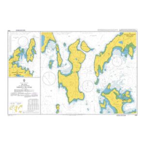
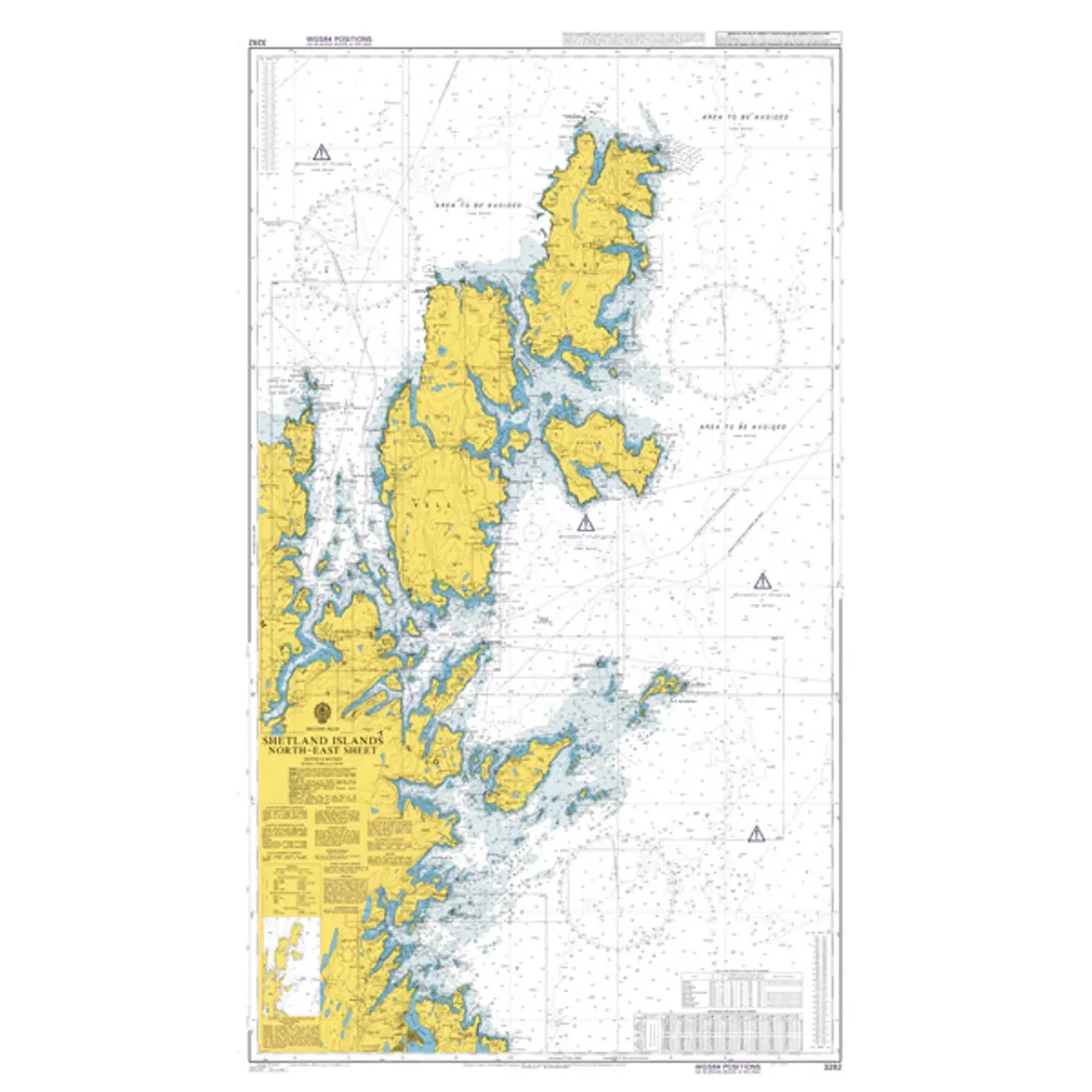
British Admiralty Chart 3282 covers the northeastern part of Shetland and surrounding waters. The chart provides a comprehensive overview of the coastline, islands, reefs, fairways and sea areas, and is ideal for both planning and navigation along this part of the archipelago.
The chart acts as a regional coastal chart and is often used in combination with more detailed harbor and coastal charts at ports of call. It is particularly useful for sailing along the north-east coast of Shetland, including inter-island and open sea routes.
British Admiralty charts are official nautical charts renowned for their high cartographic quality and international use in both professional and leisure navigation.