Description
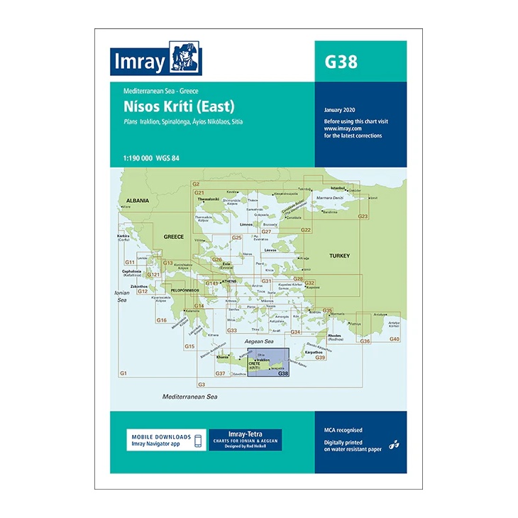
Covering the eastern part of Crete (Nísos Kríti) in the Aegean Sea, this overview chart from Imray provides a regional overview of the sailing areas along the east coast of the island. The chart is designed for planning both coastal voyages and passages between Crete and neighboring archipelagos in the southern Aegean.
The map includes plan views and approaches to Iráklion, Spinalónga, Ágios Nikólaos and Siteía, among others, as well as surrounding waters. It serves as an important supplement to more detailed port and coastal charts for sailors traveling along the east coast of Crete or planning further voyages to the Dodecanese.
Printed on water-resistant paper and manufactured to MCA approved standards, with support for digital updates via the Imray Navigator app.