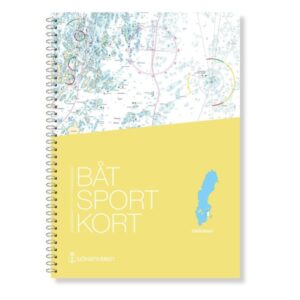
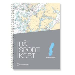
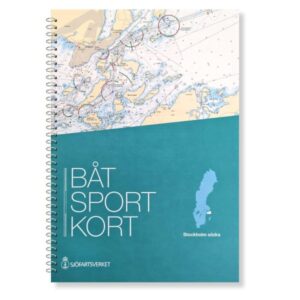
Description
This boating chart provides comprehensive coverage of the southern Swedish coastline from Kullen to Simrishamn, with the addition of the Danish coastline in the Öresund area including Copenhagen and Köge Bugt. The map series consists of 24 nautical charts at a scale of 1:50,000, as well as several detailed harbor plans and sections with a larger scale where it is navigationally relevant. The charts are ring-bound and based on the official recreational charts from the Swedish Maritime Administration, designed for practical use in leisure boats. This edition is the most recent and up-to-date at all times based on current chart data, so that fairways, markings and other nautical information are correct.