Description
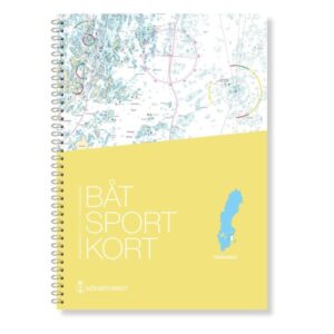
Updated boating map for Sweden’s eastern coast
The boating charts are extracts from the official “archipelago charts” and are designed in a practical format that makes them particularly suitable for navigation in smaller leisure boats. This map covers the eastern coast of Sweden, focusing on the waters out to the archipelagos and along the coastline of the Baltic Sea.
The map is delivered in the most recent and updated version at all times, based on current map data from the Swedish Maritime Administration. This ensures that changes in fairways, depths, markings and other nautical information are correctly reproduced. The maps have a scale that provides a good balance between overview and level of detail, and include the necessary sections for relevant navigation.