Description
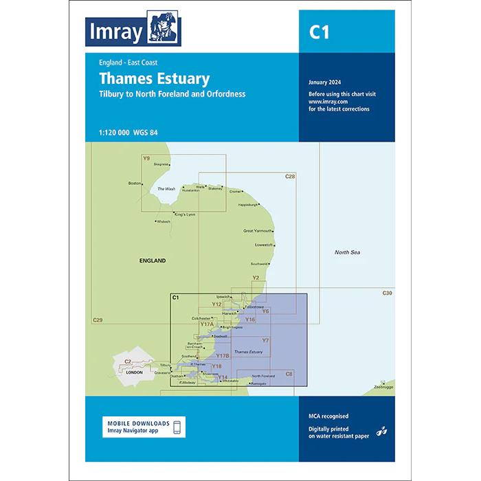
This boating map covers the Thames Estuary on the east coast of England, from Tilbury in the west to North Foreland and Orfordness in the east and north. The map provides an overview of a complex and heavily trafficked waterway that serves as the main approach to London and the River Thames, as well as important coastal areas towards the North Sea.
The map includes shipping lanes, sandbanks, lighthouses, traffic separation zones and key navigation points in the estuary, and is well suited for both leisure boats and sailboats traveling in the area or planning further sailing towards the North Sea, the Netherlands or Belgium. The area is characterized by strong tidal currents, constantly changing sandbanks and dense commercial ship traffic.
Imray is a recognized British chart manufacturer with extensive experience in nautical cartography for leisure and long-distance sailing. Their charts are developed with a focus on good readability, practical use and clear presentation of navigation-relevant information.