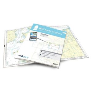
Description
NV Charts England UK2 Start Point-The Needles is a complete chart package with paper charts and digital nautical charts covering a beautiful part of the south coast of England. The charts are based on official data from the United Kingdom Hydrographic Office (UKHO) and provide up-to-date navigation information for sailing along the Devon and Dorset coast.
The charts provide detailed navigational information on water conditions, approaches, ports, depths and anchorages. The clear cartography makes it easy to find harbors, anchorages and key navigation points both on paper charts and in the NV Charts app.
The chart set is delivered in atlas format with clear cartography, combined with digital access via the NV Charts app or PC/Mac. The digital charts can be used offline, so you always have access to up-to-date navigation data both when planning at home and out at sea.
Sailing area
UK2 covers the coastline from Start Point in Devon to The Needles on the Isle of Wight. The route follows the dramatic and beautiful coastline between Devon and Dorset.
Along this stretch you’ll find several famous sailing destinations, including Portland Bill, which marks the entrance to Weymouth. Further east you’ll pass the spectacular Jurassic Coast, an area known for its unique rock formations and fossil finds.
The Isle of Wight is home to The Needles, a group of distinctive limestone cliffs that mark the western entrance to the Solent. The area is a popular destination for both sailors and pleasure craft.
Characteristics
Paper maps in atlas format with a high level of detail and good overview.
Digital access via the NV Charts app with offline use on multiple devices.
Detailed navigation information for the waters between Start Point and The Needles.
Port plans, approaches, shipping lanes and anchorage areas along the south coast of England.
Based on official data from the United Kingdom Hydrographic Office (UKHO).
This map set contains
2 overview map for sailing
Area map
24 detail map
Digital charts for navigation software and the NV Charts app (356 day license)
Navigation instructions in English
Tide tables
Port plans on paper and digitally
Meets the requirements for updated paper charts on board
Updates
The charts are always delivered in the latest available edition from NV Charts. If a new and updated edition is launched within 30 days of purchase, the map can be exchanged for a new edition free of charge.
EAN / ISBN
9783910644328