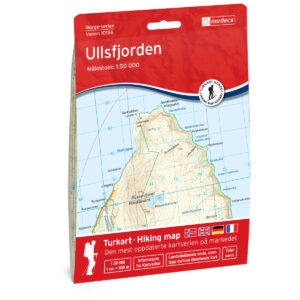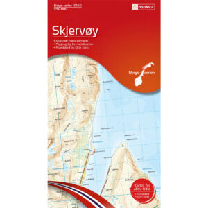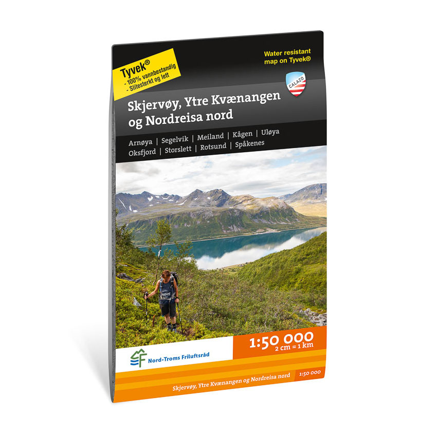
Description
Turkart Skjervøy, Ytre Kvænangen, Nordreisa nord covers the coastal and mountain areas in the northern part of Nord-Troms. Developed in collaboration with Nord-Troms Friluftsråd, the map provides an overview of a varied landscape with islands, fjords, valleys and mountain areas.
The area offers hiking opportunities throughout the year, from coastal trails to longer hikes in more open and demanding terrain. The map shows trails, terrain shapes, water and key outdoor areas in Skjervøy, Ytre Kvænangen and Nordreisa north. The clear presentation of contours and landscapes provides a good basis for planning and safe travel in an area with changing weather conditions and large distances.
The map is at a scale of 1:50,000, which is the most common scale for longer trips. At this scale, 2 cm on the map corresponds to 1 km in the terrain. This provides a good balance between detail and overview of larger areas.
Calazo Förlag is a Swedish publishing house specializing in maps and books for outdoor life in the Nordic region.
Here you can see the area the map covers:
The map is released in 2022.