


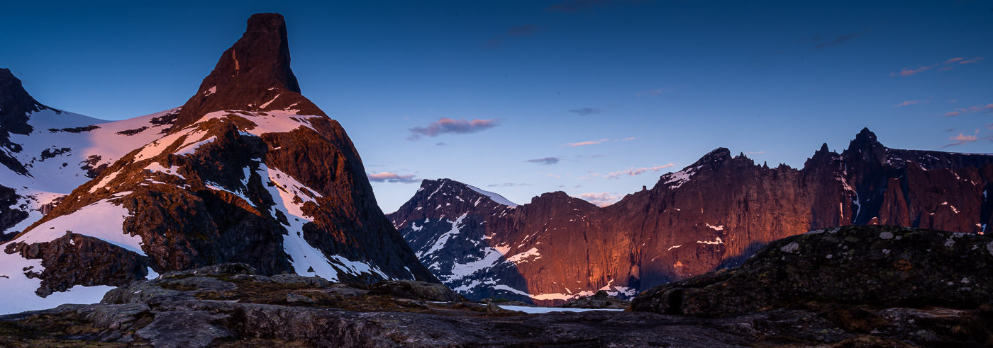
Åndalsnes · Romsdalen · Eikesdalen
Romsdalsfjella
Steep peaks, deep valleys and views towards the fjord. Find hiking maps for Romsdalseggen and the mountains around Åndalsnes, Isfjorden and Eikesdalen.
Explore the area
Plan your visit
The Romsdal mountains combine well-known hiking trails with alpine terrain requiring very different skills. A local detail map and a wider area map complement each other when comparing walks, access and places to stay.
Hiking maps for Romsdalsfjella
Local detail maps and wider coverage. Compare scale and map extent on the product pages to find the right combination for your itinerary.
-
In stock

Turkart Romsdalen & Eikesdalen 1:50.000
18,40 € Add to cart -
In stock
High mountain map Romsdalen: Isfjorden & Eresfjord 1:25,000
18,40 € Add to cart -
In stock

High mountain map Romsdalen: Trolltindan & Høgstolen 1:25,000
18,40 € Add to cart -
In stock
Romsdalseggen Topo 750 Turkart
19,94 € Add to cart -
In stock

Romsdalseggen DNT Hiking Map
19,94 € Add to cart -
In stock
Romsdalsfjella Nord DNT Hiking Map
19,94 € Add to cart -
In stock
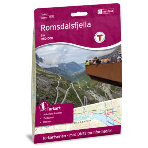
Romsdalsfjella Sør DNT Hiking Map
19,94 € Add to cart -
In stock
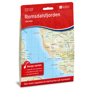
Romsdalsfjorden Norway Series Hiking Map
20,71 € Add to cart
Books and guides for your trip
Lonely Planet Norway provides background and travel inspiration for a Norwegian road trip. Combine it with a local hiking map for your mountain walks in Romsdalen.
Before you set off
Make room for a good trip
Choose a walk for its terrain and your experience, as well as its viewpoint. Consult current route descriptions and local conditions before making your plan.
A map that covers your whole route
Check the map extent, scale and edition before choosing. Bring a map and compass you know how to use, and consult current local conditions and weather forecasts.
Read the Norwegian Mountain Safety Code →Kartverket N50 – topographic map sheets
Selected map sheets for the area, with formats and materials shown on each product page. Check the map extent. The folded hiking maps above are often more convenient to carry on a walk.
Historical maps for your wall
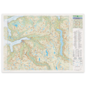
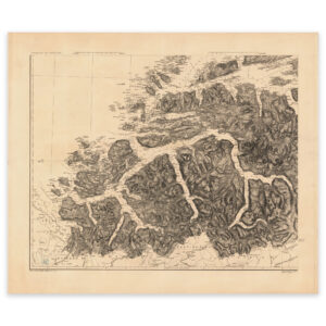
See the area through older cartography. These reproductions are for decoration and historical interest, rather than present-day route planning.
Where next?