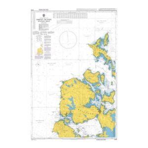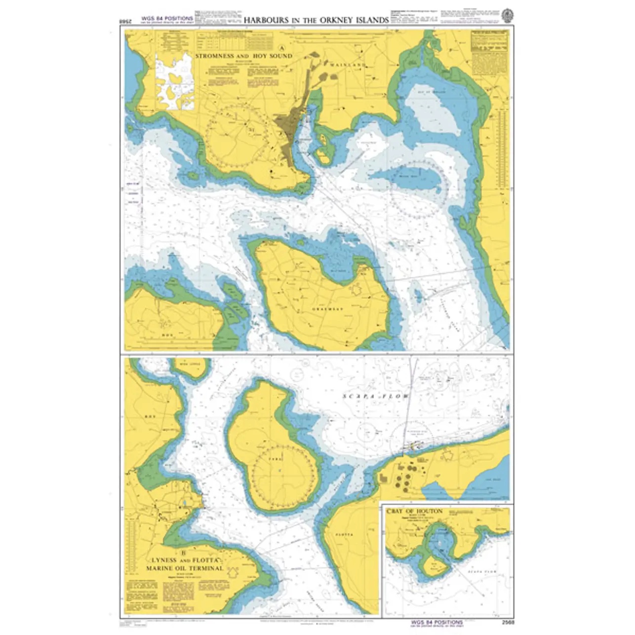
British Admiralty Chart 2568 – Harbors in the Orkney Islands

Detailed and operational harbor chart from the British Admiralty covering selected harbors and approaches in Orkney, designed for professional navigation.

Delivery is made in cooperation with StormGeo UK, official distributor of Admiralty maps. BA charts are dispatched directly to you from StormGeo in the UK by DHL Express. Normal delivery time is 2-4 working days to most addresses in Norway. If delivery time is critical, please contact us and we will try to arrange the fastest possible delivery directly to the ship or port.

69,21 €

BA charts are shipped directly from StormGeo in the UK. Delivery to Norway: NOK 795 incl. VAT per order, whether you order one or several BA charts. Other products ship separately with their own shipping charge. Applies to charts, not Admiralty books.
SKU: BA 2568 Category:
British Admiralty

    Description

    This British Admiralty chart covers selected ports, anchorages and approaches in the Orkney Islands north of Scotland. The chart contains detailed sections of key harbors and sounds, including Stromness, Hoy Sound and adjacent waters, and is designed for accurate and safe navigation in coastal and complex areas.

    The chart provides detailed information on depths, seabed conditions, navigational aids, currents and local restrictions. It is particularly well suited for vessels calling at Orkney, whether in commercial traffic, fishing or leisure sailing, and serves as a central operational chart for port maneuvering and coastal navigation.

    This map is suitable for professional navigators and experienced sailors who need an up-to-date and detailed harbor chart for safe sailing in Orkney.