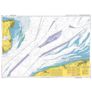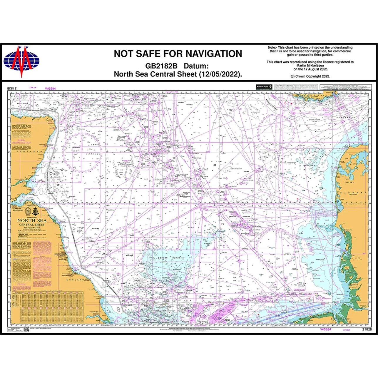
Description
This British Admiralty nautical chart covers central parts of the North Sea and is designed for operational navigation in one of Europe’s busiest and most complex sea areas. The chart includes extensive offshore activity, traffic separation zones, pipelines, installations and important shipping lanes.
The chart is designed for professional navigation and provides detailed information on depths, seabed conditions, navigational aids and regulated areas. It is well suited for commercial ships, offshore vessels and other maritime actors operating in the North Sea, and serves as a key operational chart for safe navigation in the area.
This chart is suitable for professional navigators and vessels that need an up-to-date and detailed chart for operational use in the central areas of the North Sea.