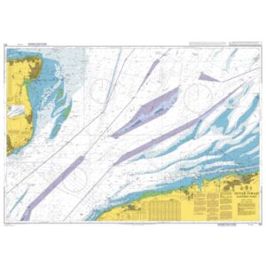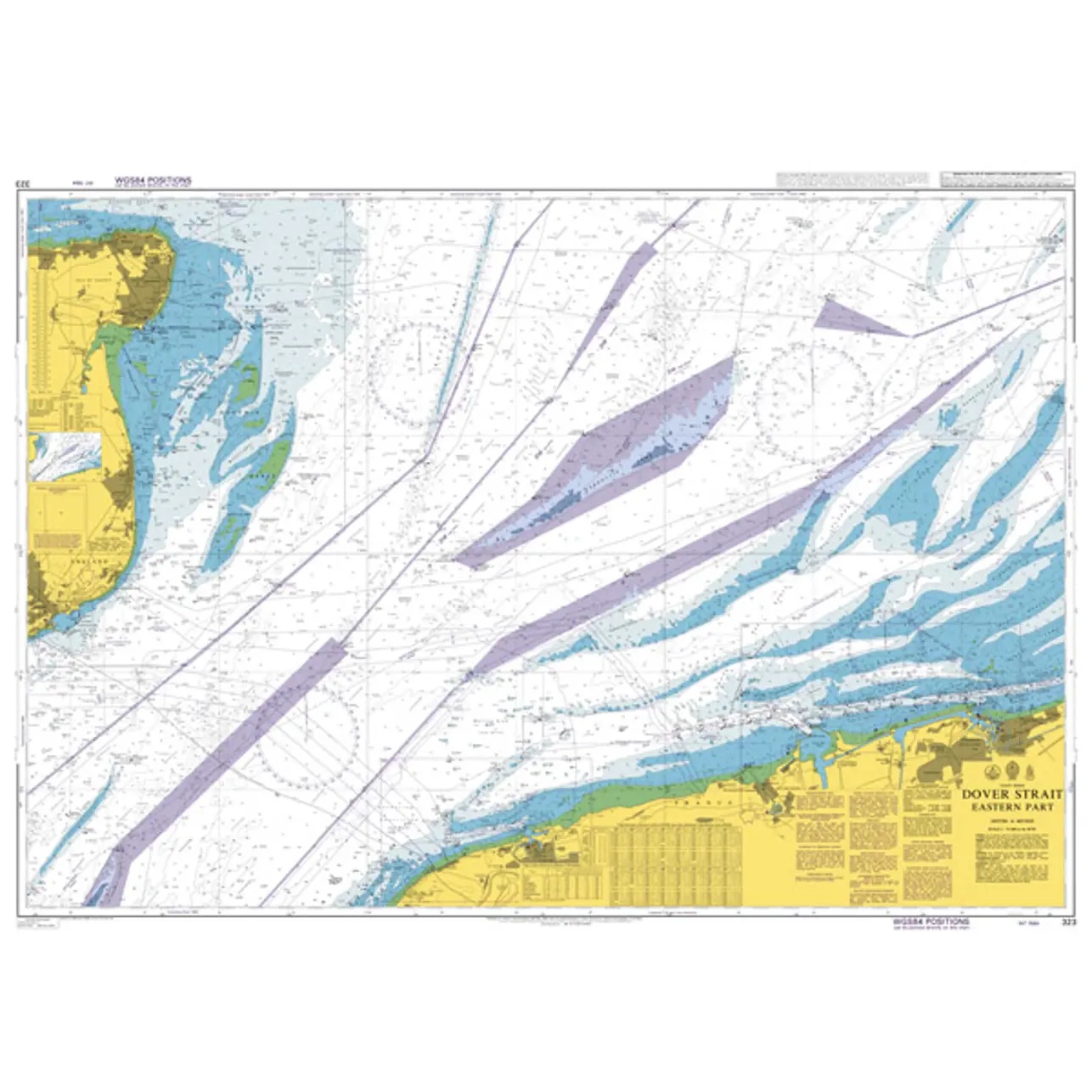
Description
British Admiralty Chart 323 is an official nautical chart published by the UK Hydrographic Office and covers the eastern part of the Strait of Dover, one of Europe’s busiest shipping lanes. The chart is designed for safe navigation in an area with dense commercial shipping, extensive traffic separation and complex current and depth conditions.
The map shows detailed sailing routes, traffic separation systems, recommended routes, depth codes, bottom conditions, cables, pipelines, lighthouses and other navigational aids. The area requires precise navigation and continuous situational awareness, and the map provides a solid foundation for both planning and executing a voyage through the Dover Strait.
British Admiralty nautical charts are used internationally by professional shipping and meet current requirements for official navigation. The charts are printed on durable paper and are continuously updated through Admiralty Notices to Mariners.