Description
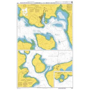
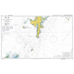
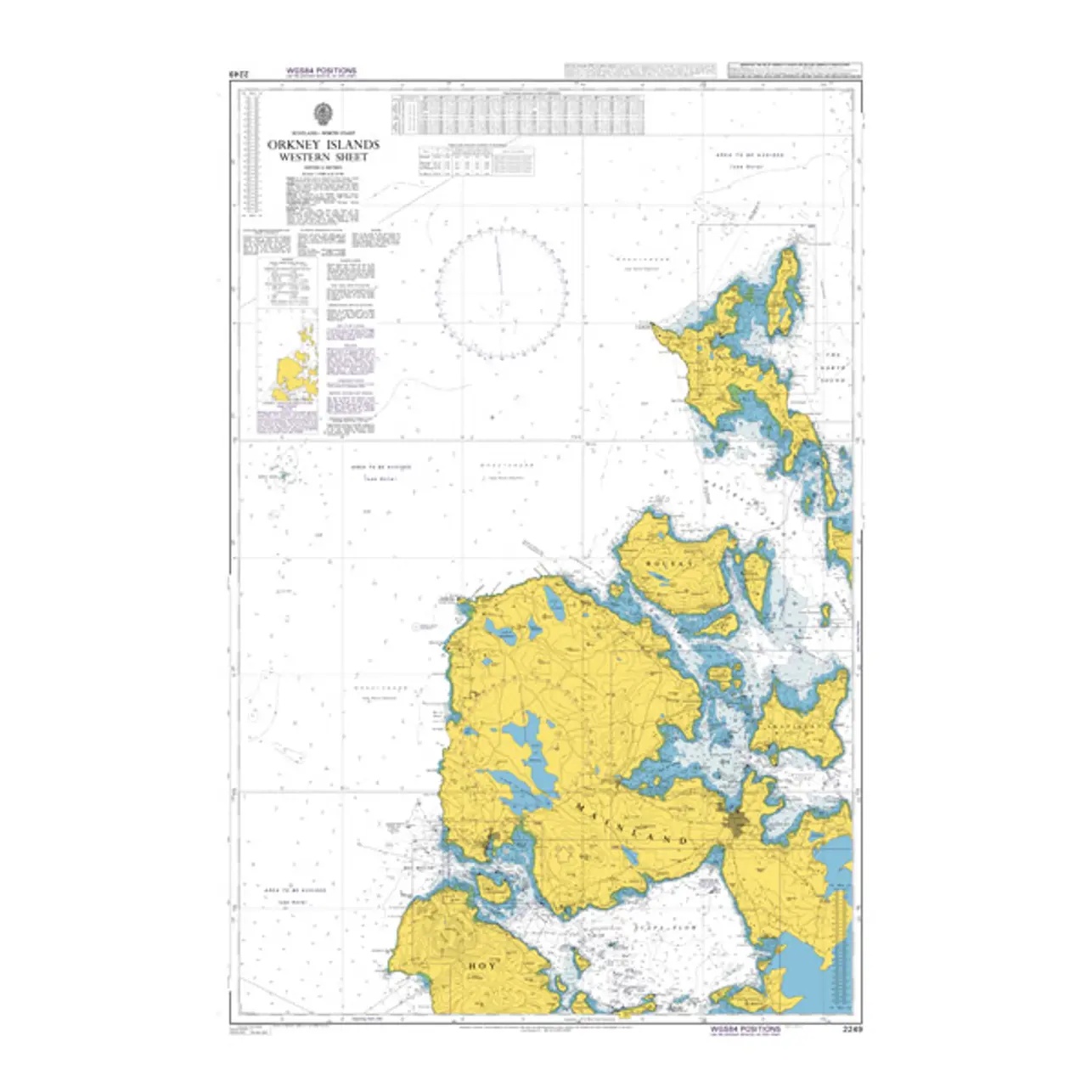
This British Admiralty chart covers the western Orkney Islands and adjacent waters north of Scotland. The chart provides a comprehensive representation of the coastline, straits and open seas around the Western Isles and is designed for operational navigation in an area characterized by strong currents, changing weather conditions and challenging sailing.
The chart provides detailed information on depths, navigational aids, seabed conditions and important shipping lanes, and is well suited for vessels sailing along the coast or between the islands of Orkney. It serves as a central chart for regional navigation and is often used in combination with more detailed harbor charts at ports of call.
This chart is suitable for professional navigators and experienced sailors who need a reliable and up-to-date chart for coastal and regional sailing in Orkney.