Danish Geodata Agency
-
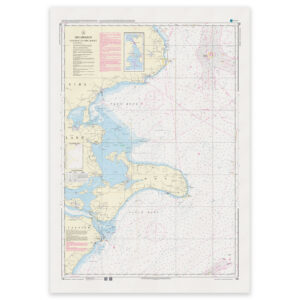
Denmark Chart 198 – Baltic Sea, Faxe Bay and Hjelm Bay
32,88 € Add to cart -
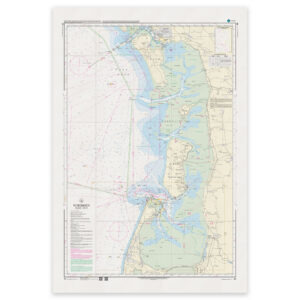
Denmark Chart 60 – North Sea, Fanø – Sylt
32,88 € Add to cart -
Denmark Chart 61 – North Sea, Blåvands Huk – Fanø
32,88 € Add to cart -
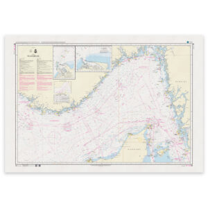
Denmark Chart 92 – Skagerrak (INT 1300)
32,88 € Add to cart -
Denmark Chart 93 – Nordsøen, Esbjerg – Hanstholm (INT 1044)
32,88 € Add to cart -
Denmark Chart 94 – North Sea, Horns Rev (INT 1411)
32,88 € Add to cart -
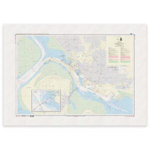
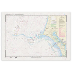
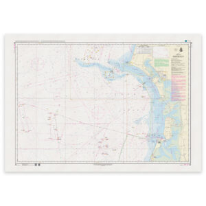
Denmark Chart 95 – Port of Esbjerg (INT 1451)
32,88 € Add to cart -
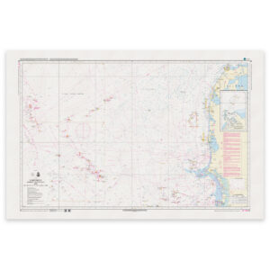
Denmark Chart 99 – North Sea, Ringkøbing Fjord
32,88 € Add to cart -
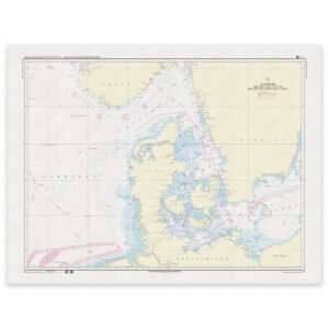
Denmark Chart C – Denmark with surrounding waters
32,88 € Add to cart -
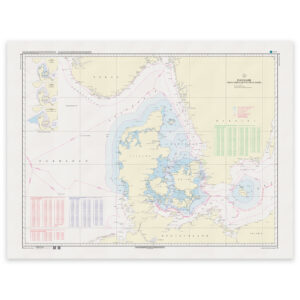
Denmark Chart D – Denmark with surrounding waters
32,88 € Add to cart -
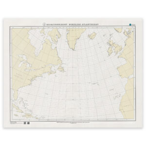
Denmark Chart SC-N – Great Circle Chart (Northern Sea Areas)
32,88 € Add to cart -
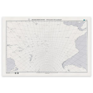
Denmark Chart SC-S – Great Circle Chart (Southern Ocean)
32,88 € Add to cart -
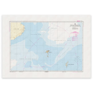
Faroe Islands Chart 80 – Waters around the Faroe Islands
32,88 € Add to cart -
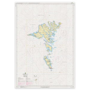
Faroe Islands Chart 81 – Føroyar (Faroe Islands)
32,88 € Add to cart -
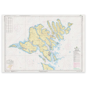
Faroe Islands Chart 82 – Northern Part (Føroyar Norđari partur)
32,88 € Add to cart -
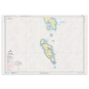
Faroe Islands Chart 83 – Southern Part (Føroyar Sunnari partur)
32,88 € Add to cart -
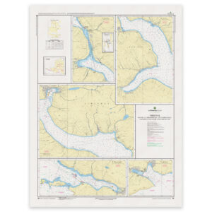
Faroe Islands Chart 84 – Harbors and Anchorages, Northwestern Part (Streymur)
32,88 € Add to cart -
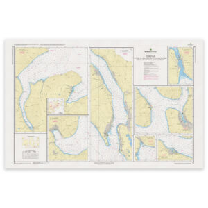
Faroe Islands Chart 85 – Harbors and Anchorages, Northeastern Part (Funningsfjørður)
32,88 € Add to cart -
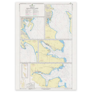
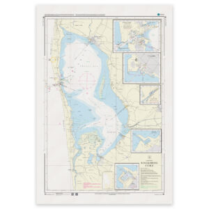
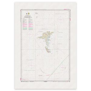
Faroe Islands Chart 86 – Tórshavn Harbors and Anchorages (Southern Part)
32,88 € Add to cart -
Faroe Islands Chart F – Faroe Islands with Maritime Zones
32,88 € Add to cart