Kart.no
-
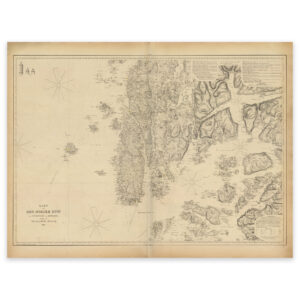
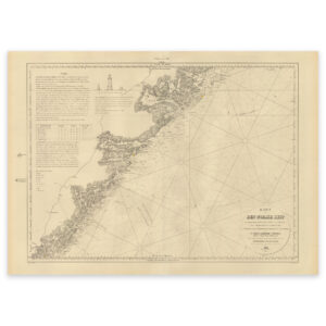
Historical nautical chart of the area Kvitsøy, Utsira, Espevær and Nedstrand
Select options -
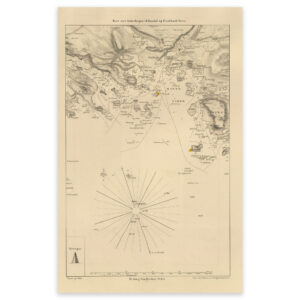
Historical nautical chart of the entrance to Mandal
Select options -
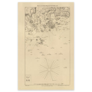
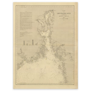
Historical nautical chart of the entrance to Ny-Hellesund
Select options -
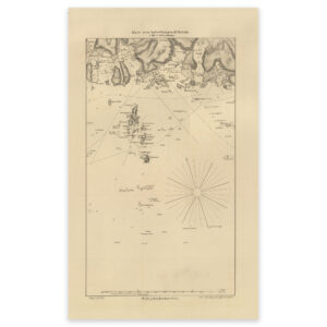
Historical nautical chart of the entrance to Svinør
Select options -
Historical nautical chart of the Jomruland and Kragerø to Arendal section
Select options -

Historical nautical chart of the Lindesnes Kristiansand section
Select options -
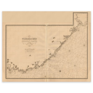
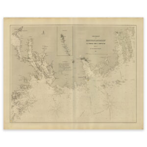
Historical nautical chart of the Norwegian coast from Lindesnes to Fredrikstad
Select options -
Historical nautical chart of the outer Oslofjord to Jomfruland and Koster
Select options -
Historical nautical chart of the stretch Jomruland and Kragerø to Kristiansand
Select options -

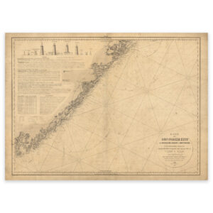
Historical nautical chart of the stretch Kristiansand to Egersund
Select options -
Historical nautical chart of the Tønsberg Tønne to Jomfruland stretch
Select options -
Historical nautical map of the entrance to Grimstad
Select options -
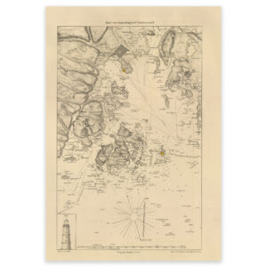
Historical nautical map of the entrance to Kristiansand
Select options -
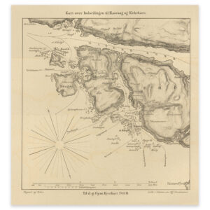
Historical nautical map of the entrance to Rasvåg and Kirkehavn on Hidra
Select options -
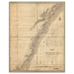
Hitra-Tromsø 1845
Select options -
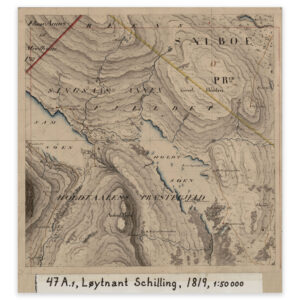
Holtålen 1819
Select options -
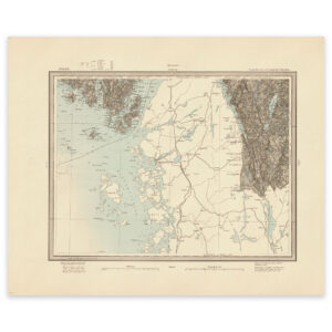
Hvaler 1906
Select options -
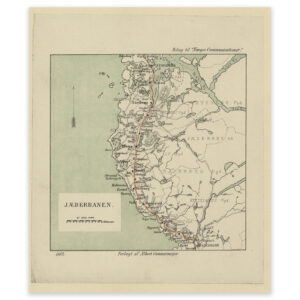
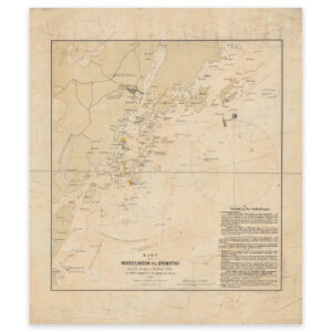
Jærbanen 1882
Select options -
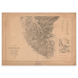
Jæren 1866
Select options -
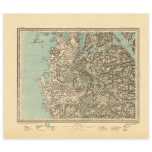
Jæren 1915
Select options