-
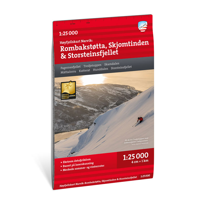
High mountain map Narvik: Rombakstøtta, Skjomtinden & Storsteinsfjellet 1:25.000
Detailed mountain map of Rombakstøtta, Skjomtinden and Storsteinsfjellet near Narvik at a scale of 1:25 000. The map is particularly suitable for hiking in the area.
-
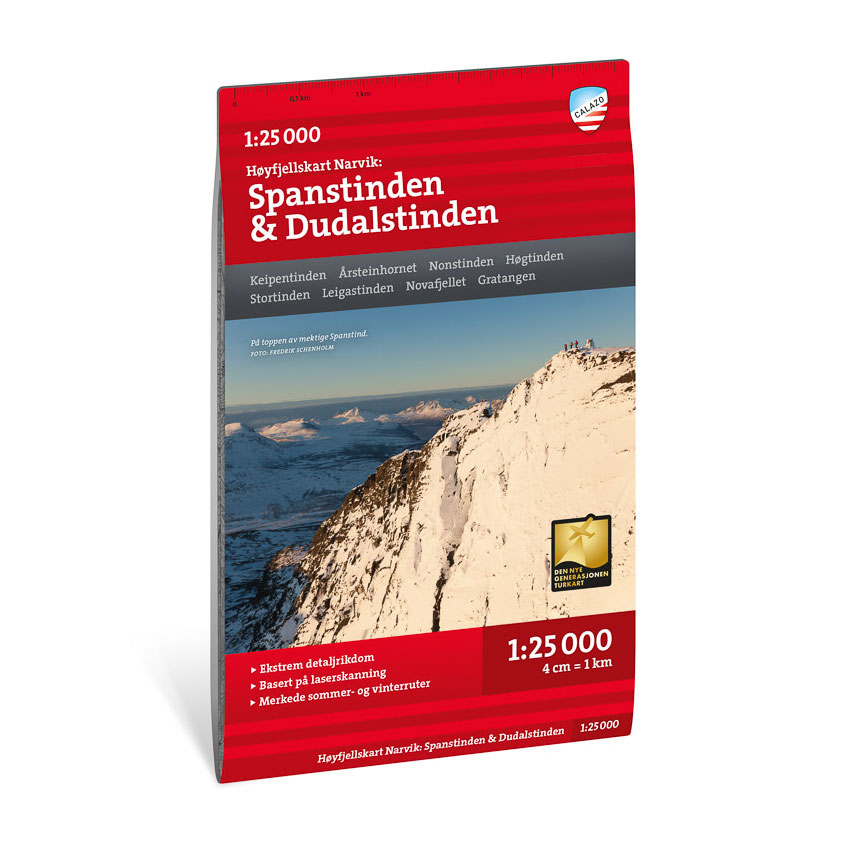
High mountain map Narvik: Spanstinden & Dudalstinden 1:25.000
Detailed mountain map of Spanstinden and Dudalstinden near Narvik at a scale of 1:25 000. The map is particularly suitable for hiking in the area.
-
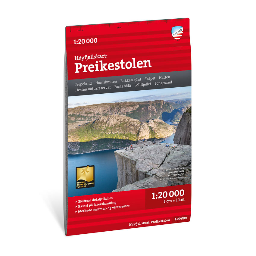
High mountain map Preikestolen 1:20.000
Detailed mountain map of Preikestolen at a scale of 1:20 000. The map is particularly suitable for hiking in the area around Lysefjorden.
-
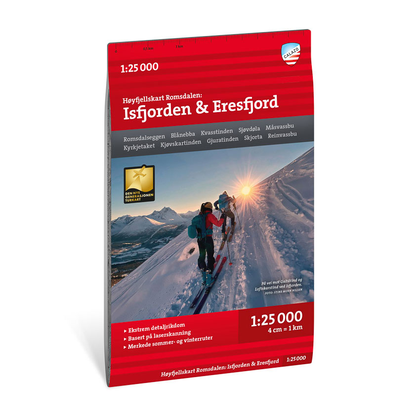
High mountain map Romsdalen: Isfjorden & Eresfjord 1:25,000
Detailed high mountain map of Isfjorden and Eresfjord in Romsdalen at a scale of 1:25 000. The map is especially suitable for Romsdalseggen and summit tours in the area.
-
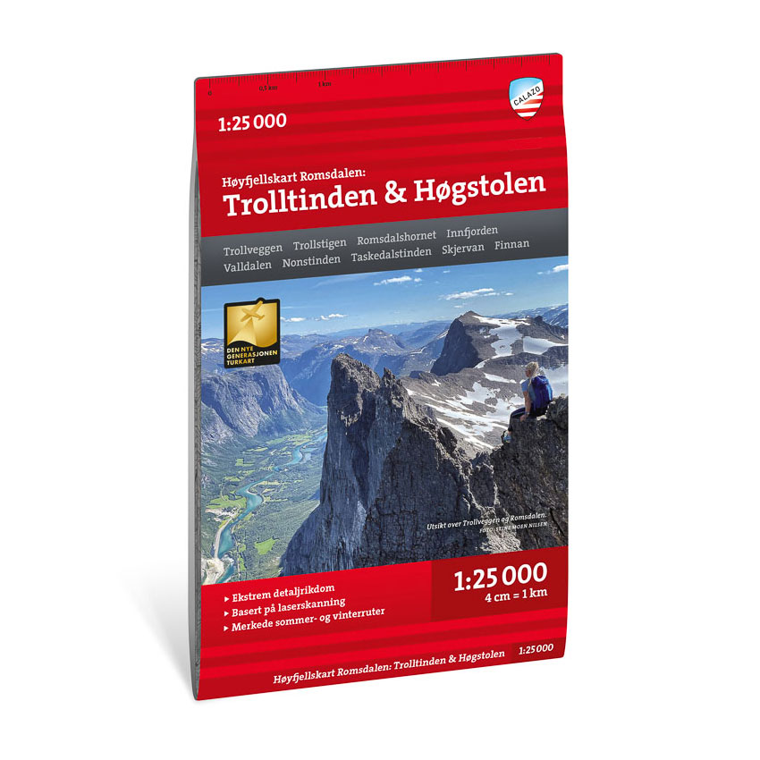
High mountain map Romsdalen: Trolltindan & Høgstolen 1:25,000
Detailed mountain map of Trolltindan and Høgstolen in Romsdalen at a scale of 1:25,000. The map is particularly suitable for hiking in the area.
-
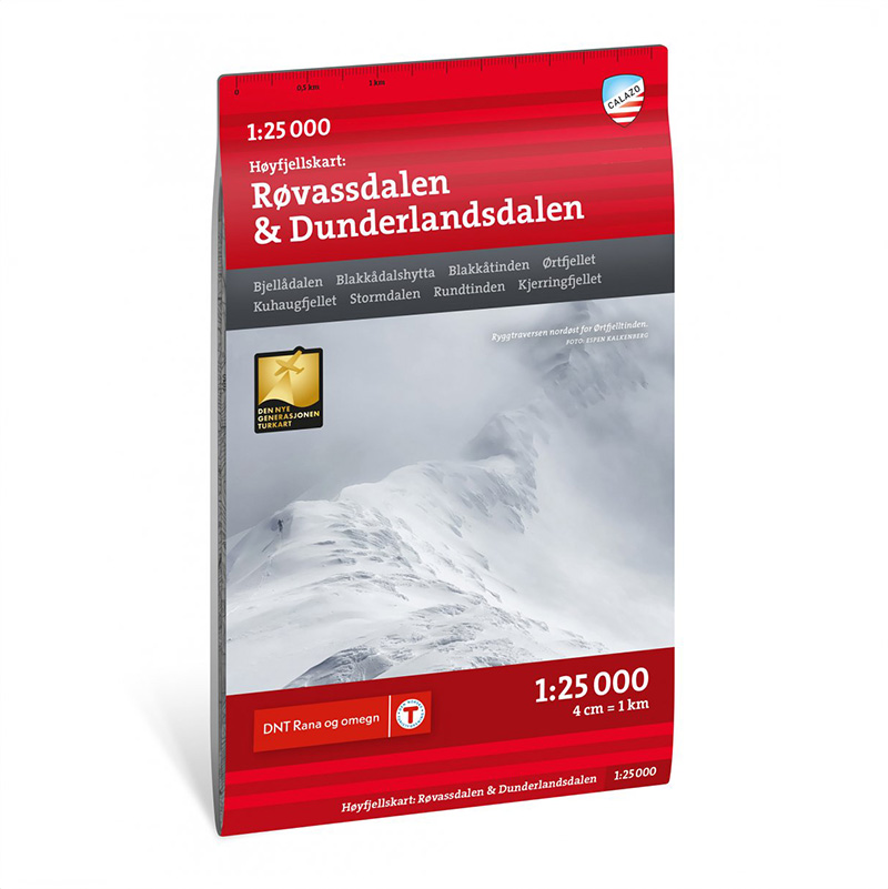
High mountain map Røvassdalen & Dunderlandsdalen 1:25.000
Detailed mountain map of Røvassdalen and Dunderlandsdalen at a scale of 1:25 000. The map is particularly suitable for hiking in the area.
-

High mountain map Senja: Keipen, Tredjefjellet & Kvænan 1:25.000
Detailed mountain map of Keipen, Tredjefjellet and Kvænan on Senja at a scale of 1:25 000. The map is especially suitable for summit tours on Senja.
-
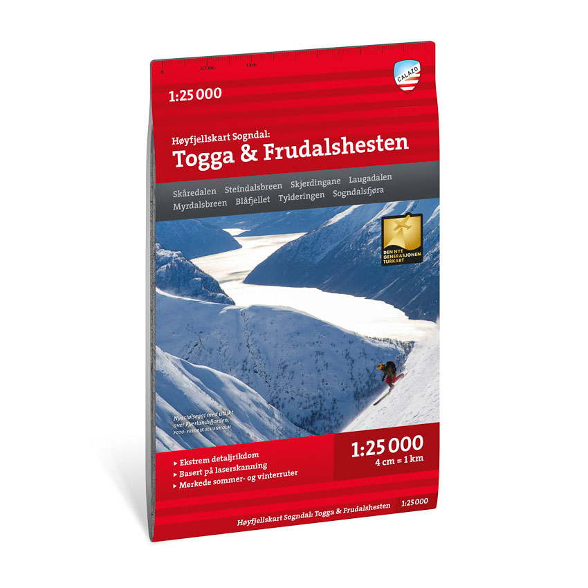
High mountain map Sogndal: Togga & Frudalshesten 1:25.000
Detailed mountain map of Togga and Frudalshesten near Sogndal at a scale of 1:25 000. The map is particularly suitable for hiking in the area.
-
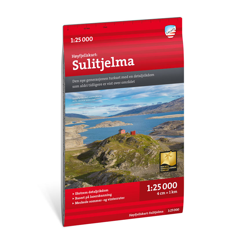
High mountain map Sulitjelma 1:25.000
Detailed mountain map of Sulitjelma at a scale of 1:25,000. The map is particularly suitable for summit hikes and glacier hikes in the area.
-

High mountain map Sunnmøre: Ørsta & Volda 1:30,000
Detailed mountain map of Ørsta and Volda in Sunnmøre at a scale of 1:30,000. The map is particularly suitable for hiking in the area.
-
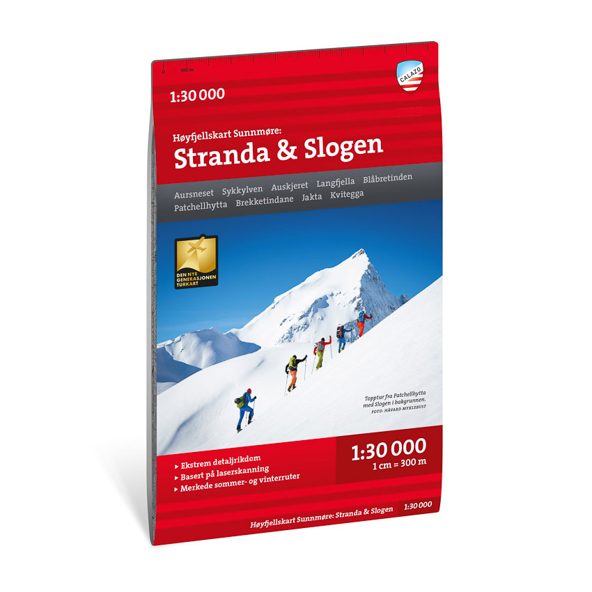
High mountain map Sunnmøre: Stranda & Slogen 1:30,000
Detailed mountain map of Stranda and Slogen in Sunnmøre at a scale of 1:30 000. The map is particularly suitable for hiking in the area.
-
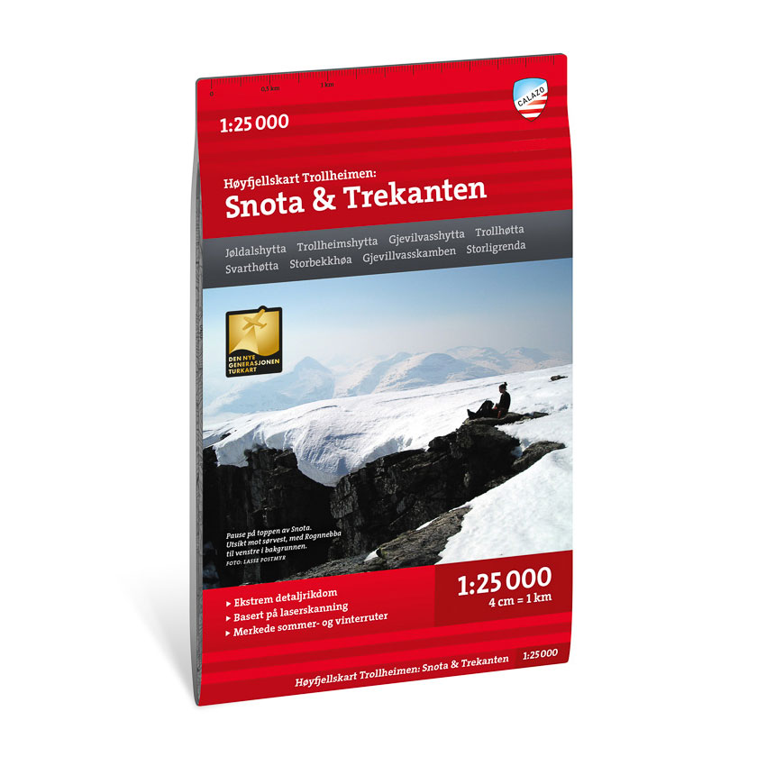
High mountain map Trollheimen: Snota & Trekanten 1:25,000
Detailed mountain map of Snota and Trekanten in Trollheimen at a scale of 1:25,000. The map is particularly suitable for Trekanten and summit hikes in the area.
-
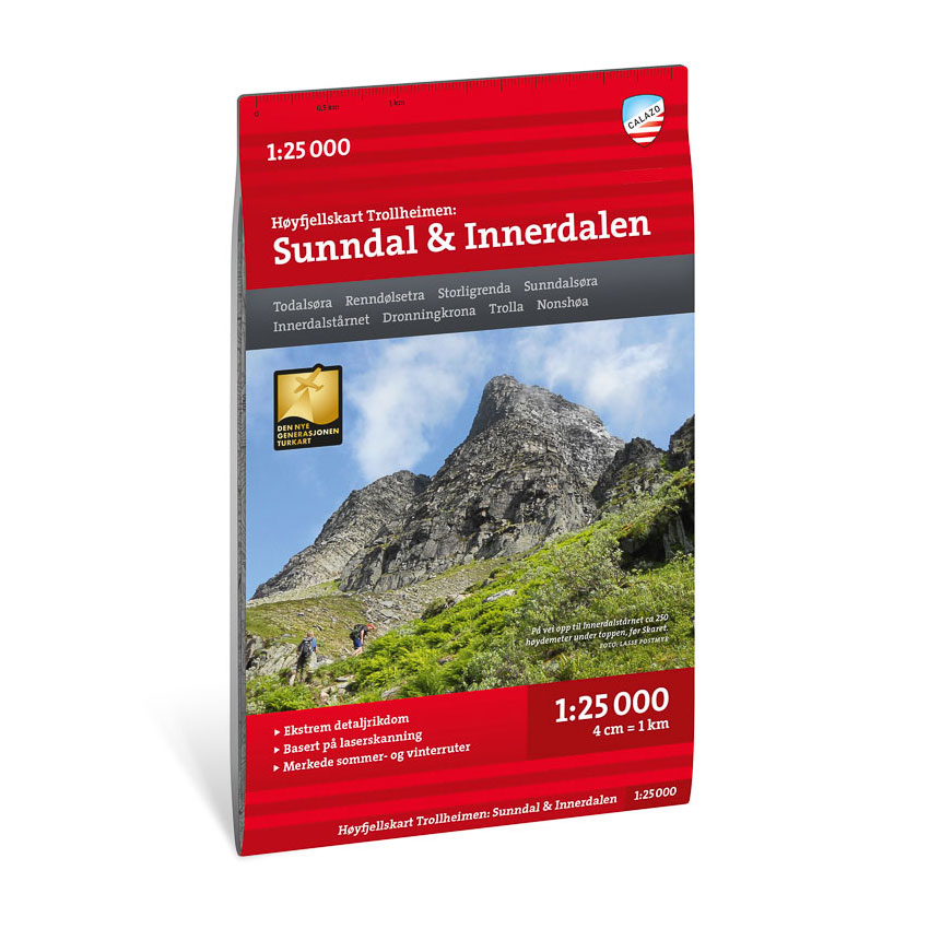
High mountain map Trollheimen: Sunndal & Innerdalen 1:25,000
Detailed mountain map of Sunndal and Innerdalen in Trollheimen at a scale of 1:25,000. The map is particularly suitable for walks and hikes in the area.
-
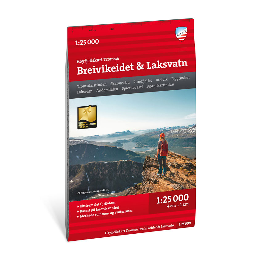
High mountain map Tromsø: Breivikeidet Laksvatn 1:25.000
Detailed mountain map of Breivikeidet and Laksvatn near Tromsø at a scale of 1:25 000. The map is particularly suitable for hiking in the area.
-
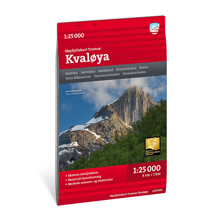
High mountain map Tromsø: Kvaløya 1:25.000
Detailed mountain map of Kvaløya near Tromsø at a scale of 1:25 000. The map is particularly suitable for hiking in the area.
-
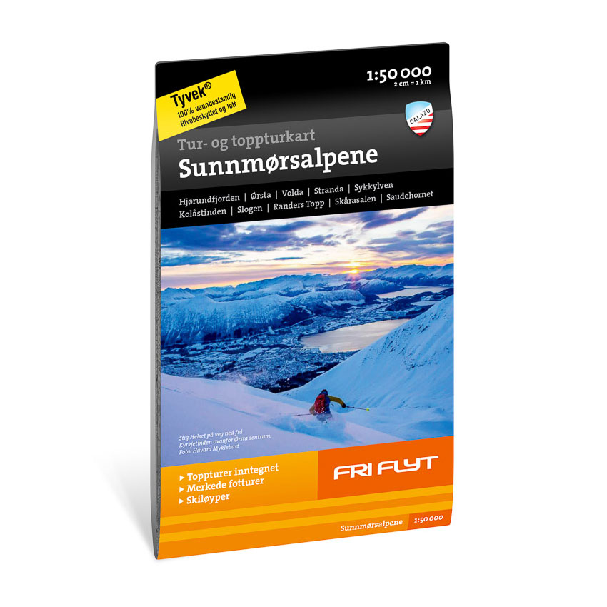
Hiking and mountaineering map: Sunnmøre Alps 1:50,000
Detailed hiking and mountaineering map of the Sunnmøre Alps at a scale of 1:50,000. Durable map from Calazo with marked routes for both skiing and hiking.
-
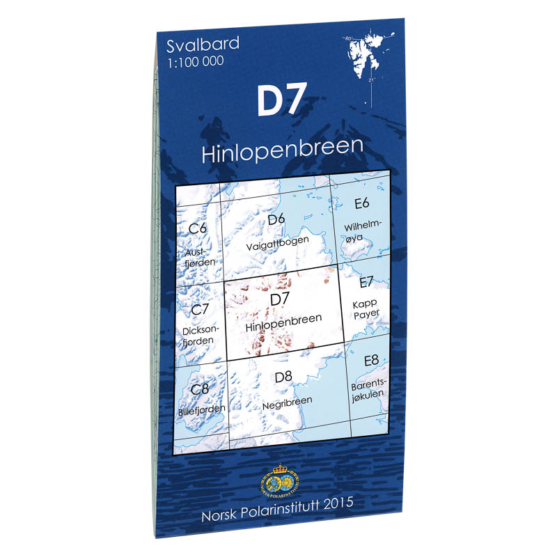
Hinlopenbreen D7
Map in scale 1:100000 from the Norwegian Polar Institute.
-
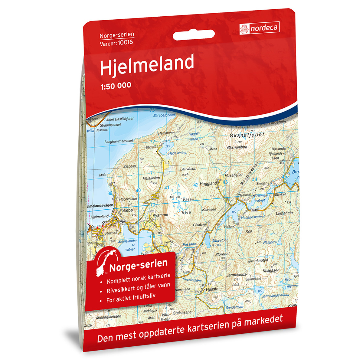
Hjelmeland Norge-serien Hiking Map
Detailed hiking map of Hjelmeland in the Norge-serien – the classic red hiking maps that have been a trusted companion in Norwegian backpacks for several generations. The maps are systematically divided with overlap to adjacent maps, providing good continuity as you move through the terrain.
-
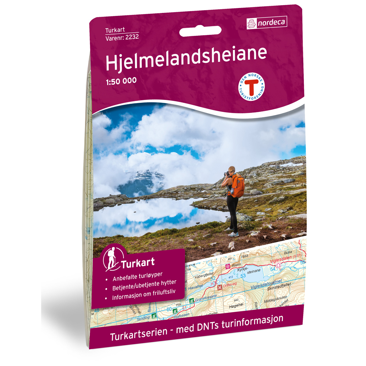
Hjelmelandsheiane DNT Hiking Map
Detailed hiking map of Hjelmelandsheiane, developed by Nordic Maps (formerly Nordeca) in collaboration with the Norwegian Trekking Association (DNT). For decades, DNT Hiking Maps have been the first choice for hikers, known for their excellent readability, thoughtful design, and practical information for active outdoor life.
-
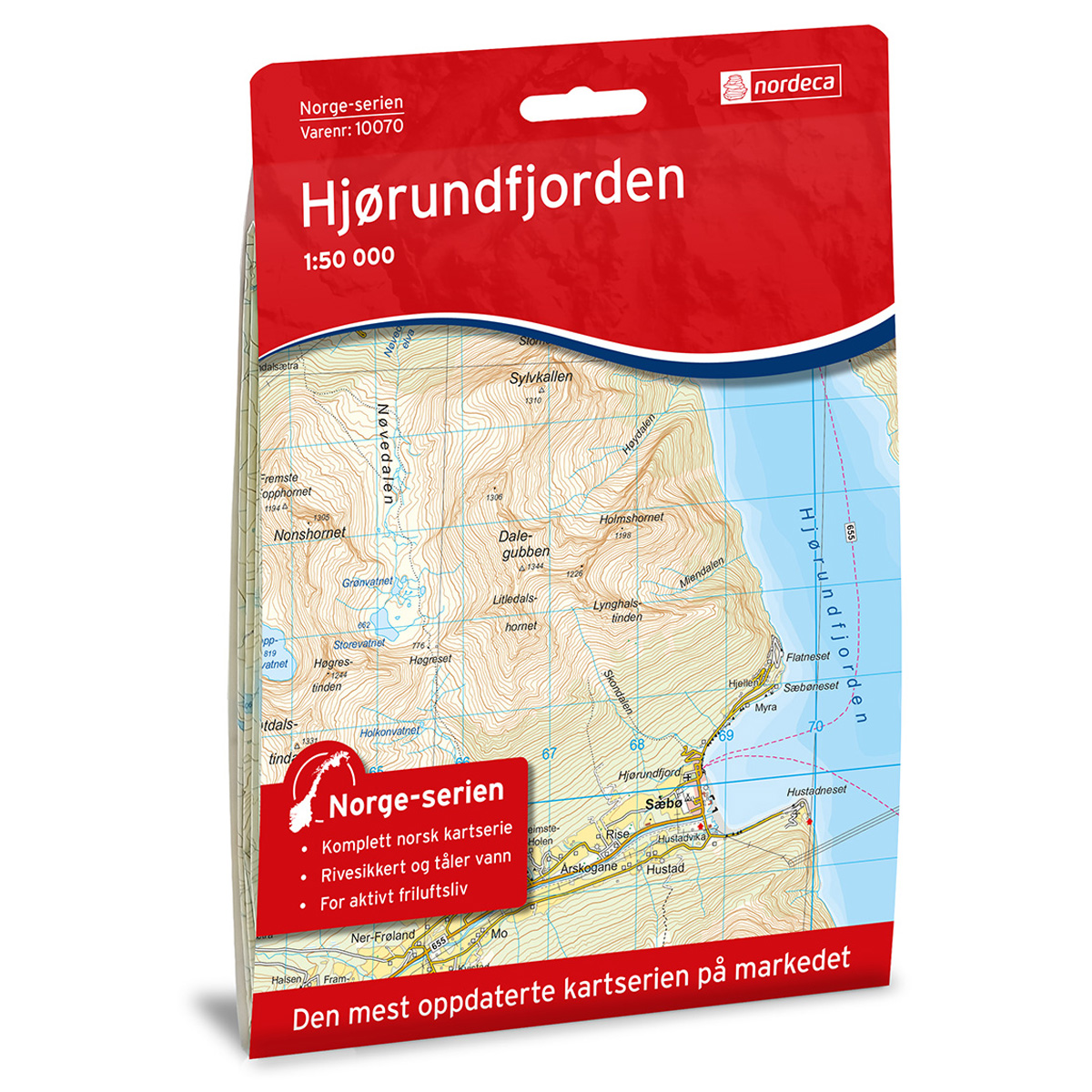
Hjørundfjorden Norway Series Hiking Map
Detailed hiking map of Hjørundfjorden in the Norway Series – the classic red hiking maps that have been a faithful companion in Norwegian backpacks for generations. The maps are systematically divided with overlaps for adjacent maps, providing seamless continuity as you navigate the terrain.