-
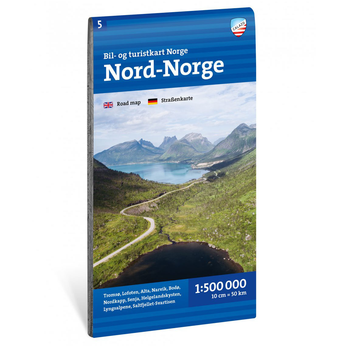
Car and tourist map Northern Norway 1:500 000
Updated road and tourist map of Northern Norway at a scale of 1:500,000. The map provides a broad overview of the road network, ferries and tourist routes in the region.
-
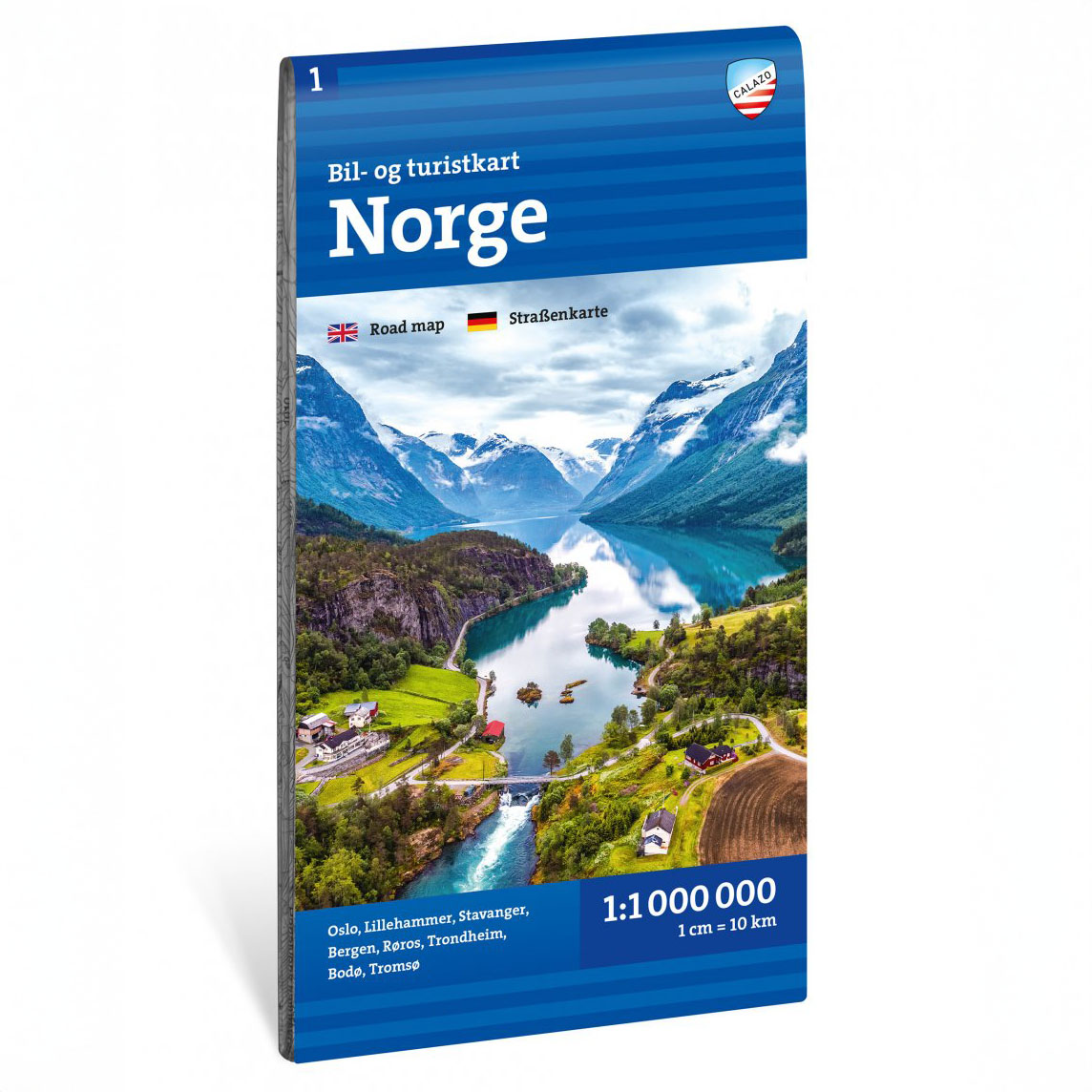
Car and tourist map Norway 1:1 million
Updated car and tourist map of the whole of Norway at a scale of 1:1,000,000. The map provides a broad national overview of road networks and tourist routes.
-
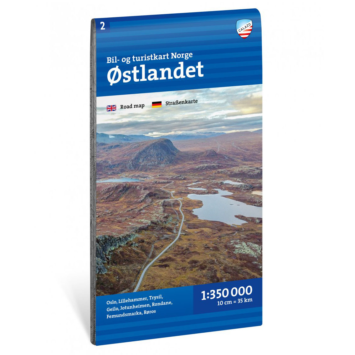
Car and tourist map Østlandet 1:350 000
Updated car and tourist map of Eastern Norway at a scale of 1:350,000. The map provides a good overview of the road network, tourist routes and destinations in the region.
-
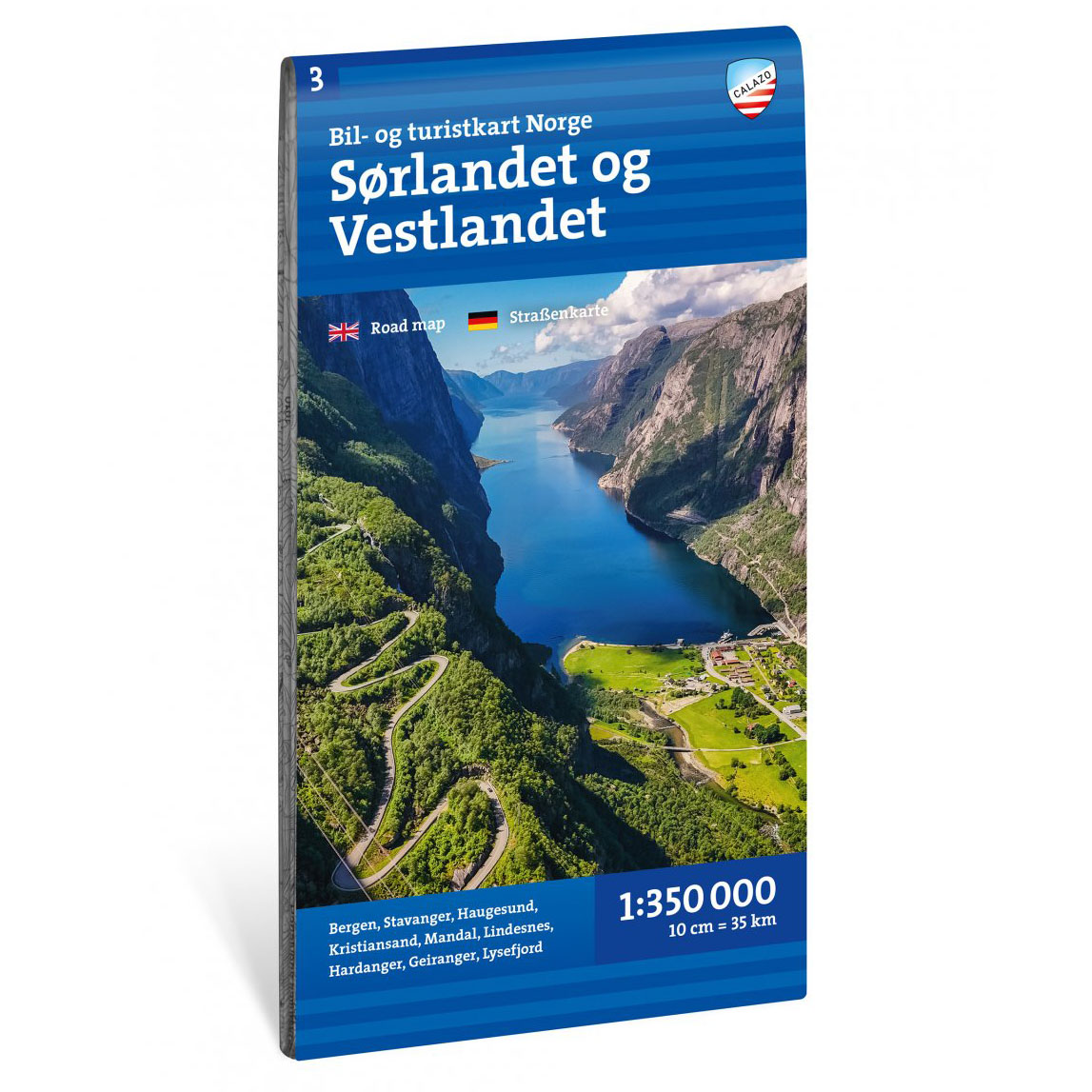
Car and tourist map Southern and Western Norway 1:350 000
Updated road and tourist map of southern and western Norway at a scale of 1:350,000. The map provides a good overview of the road network, tourist routes and destinations in the region.
-
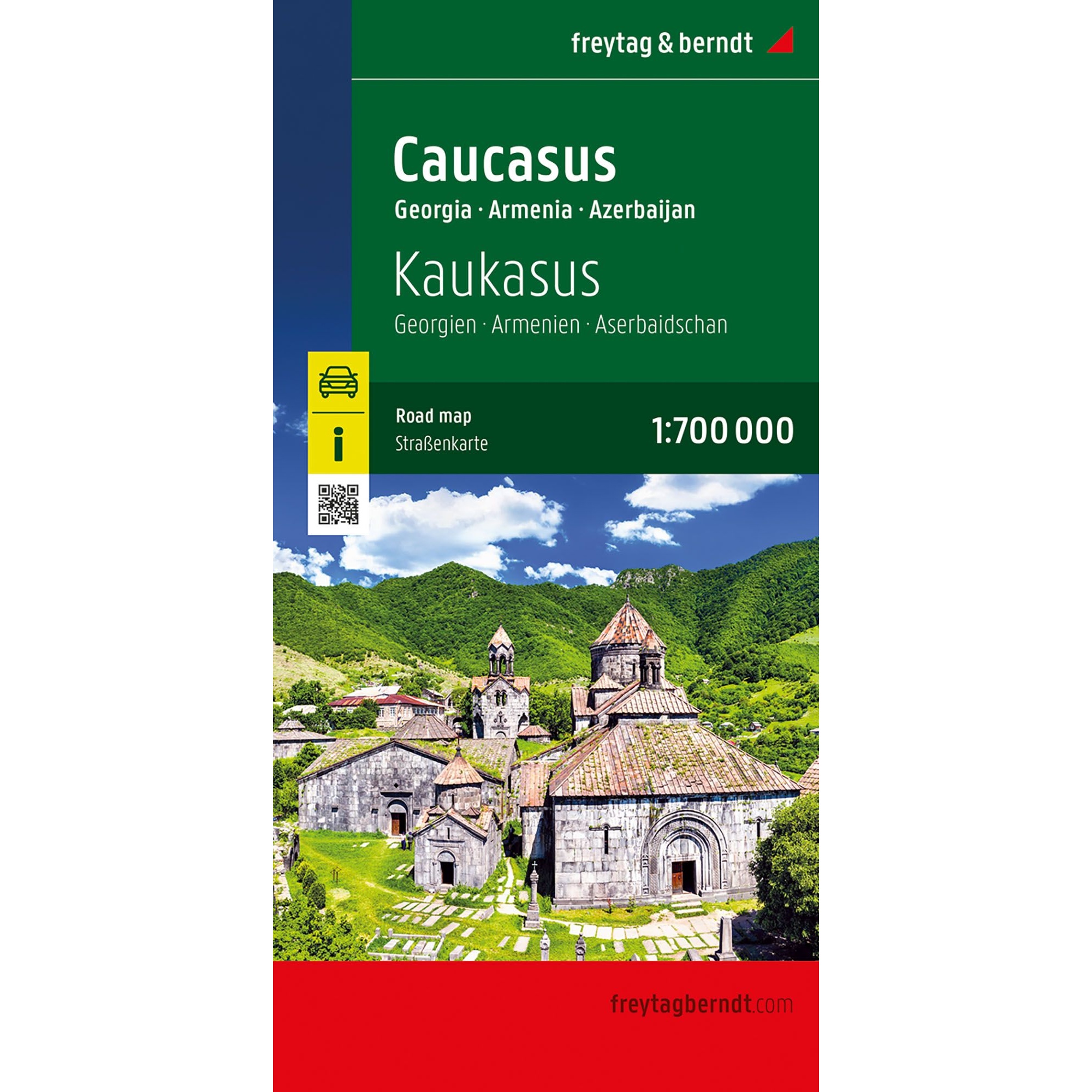
Caucasus – roadmap (multilingual)
Detailed road map of the Caucasus at a scale of 1:700 000 covering Georgia, Armenia and Azerbaijan. A reliable map for road travel, route planning and orientation in the region.
-
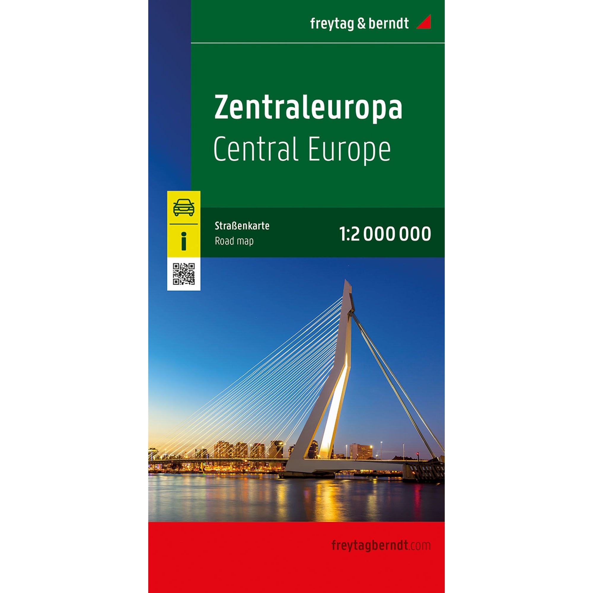
Central Europe – roadmap (multilingual)
Clear road map of Central Europe at a scale of 1:2,000,000. Ideal for planning longer road trips and cross-border routes. The map shows main roads, road numbers, distances and has a comprehensive location index. Released in 2025.
-
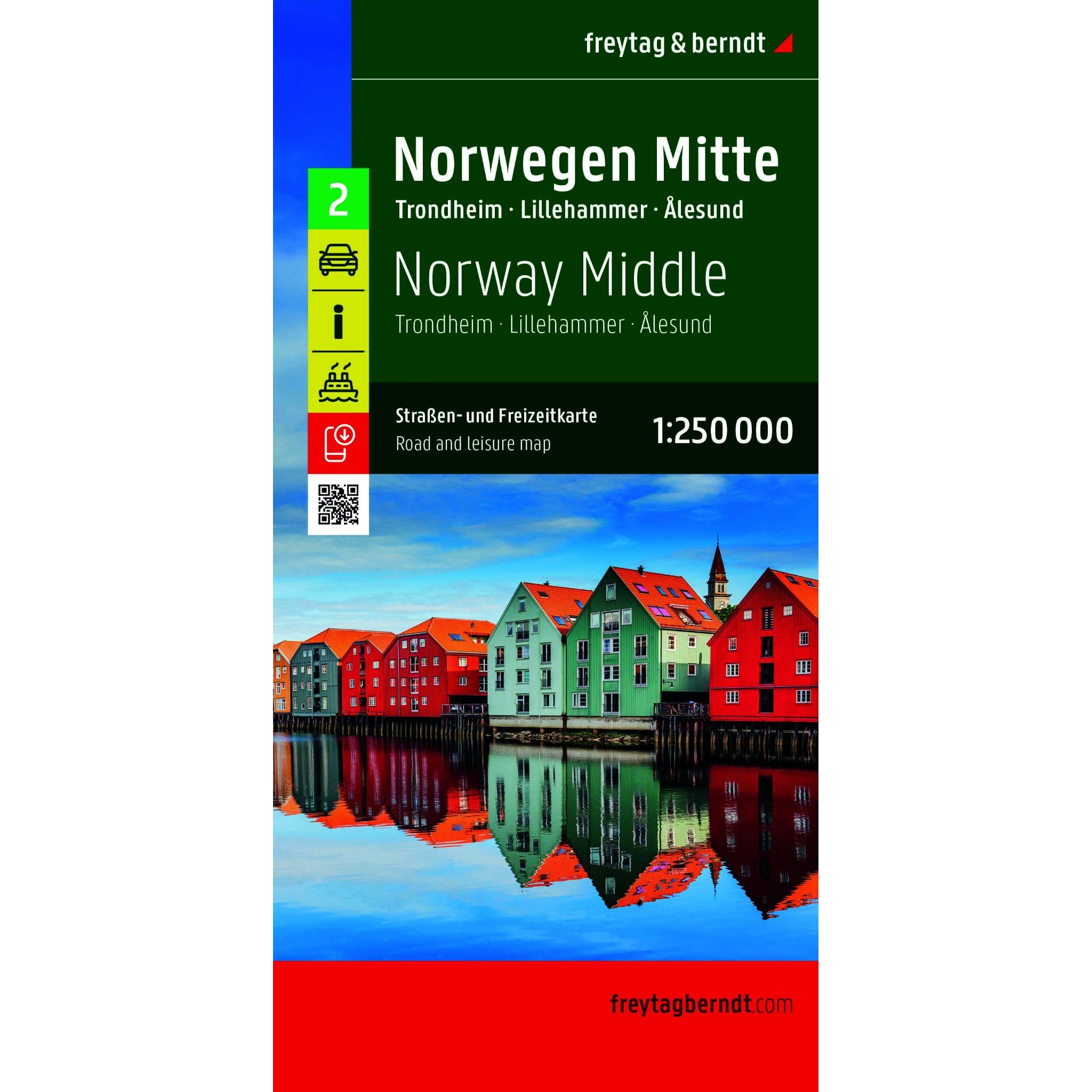
Central Norway – roadmap (multilingual)
New and updated 2026 edition: A detailed road map of Central Norway at a scale of 1:250,000, designed for road trips, motorcycle tours, and travel by motorhome or caravan. The map covers the areas around Trondheim, Lillehammer, and Ålesund, providing a clear overview of the road network, distances, and key connections across the region. It…
-
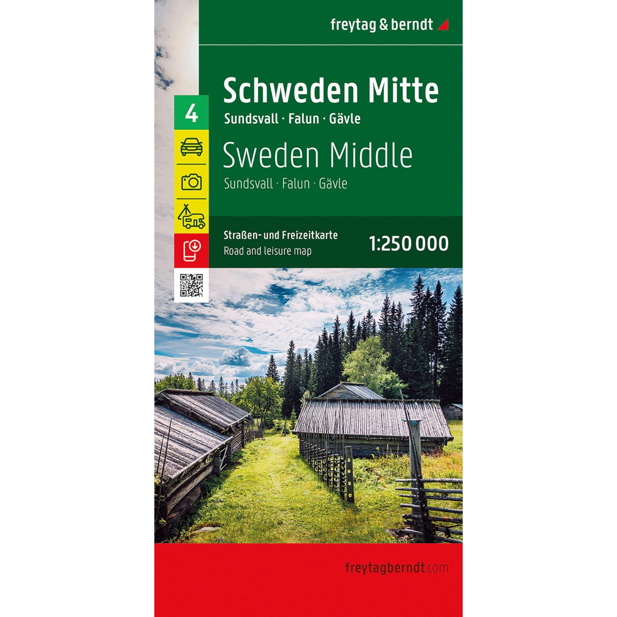
Central Sweden – roadmap (multilingual edition)
New and updated 2026 edition: Detailed road map of central Sweden at a scale of 1:250,000. Covers the areas around Sundsvall, Falun and Gävle and is well suited for car, motorcycle and campervan trips.
-
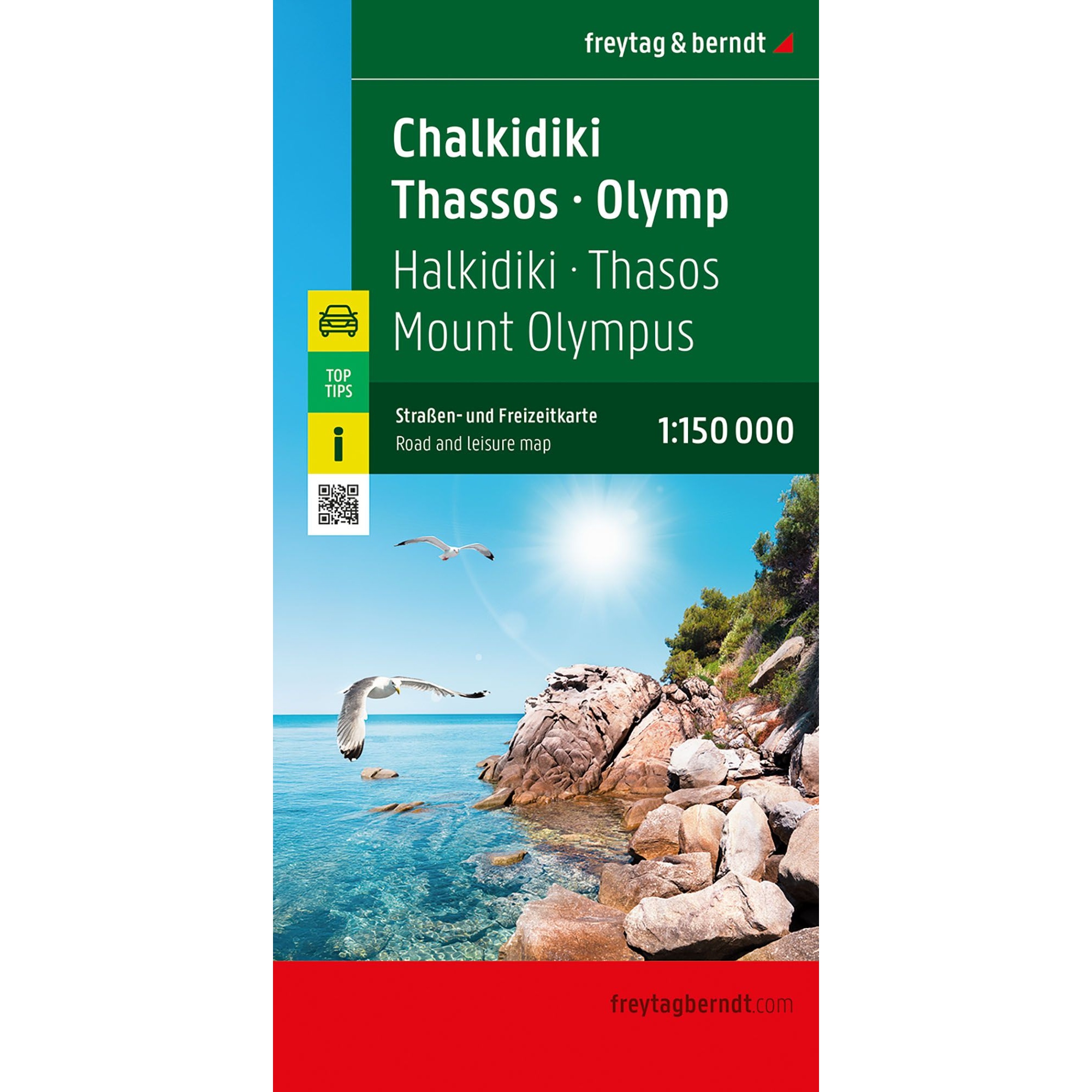
Chalkidiki – Thassos – Olympus – road map (multilingual)
Detailed road map of Chalkidiki, Thassos and Olympus with clear road network, tourist information and campsites. A practical map for car and motorhome vacations in Northern Greece.
-
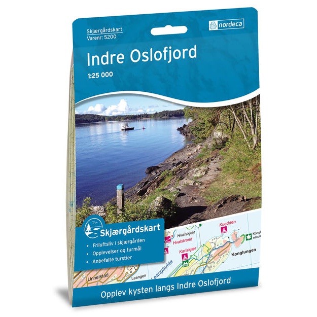
Coastal Map Inner Oslofjord
Coastal map of the Inner Oslofjord, with a clear overview of islands, sounds, and coastline. Well-suited for planning boat trips, excursions, and experiences in the archipelago.
-

Coastal Map Stavanger
Coastal map of Stavanger, with a clear overview of islands, sounds, and coastline. Well-suited for planning boat trips, excursions, and experiences in the archipelago.
-
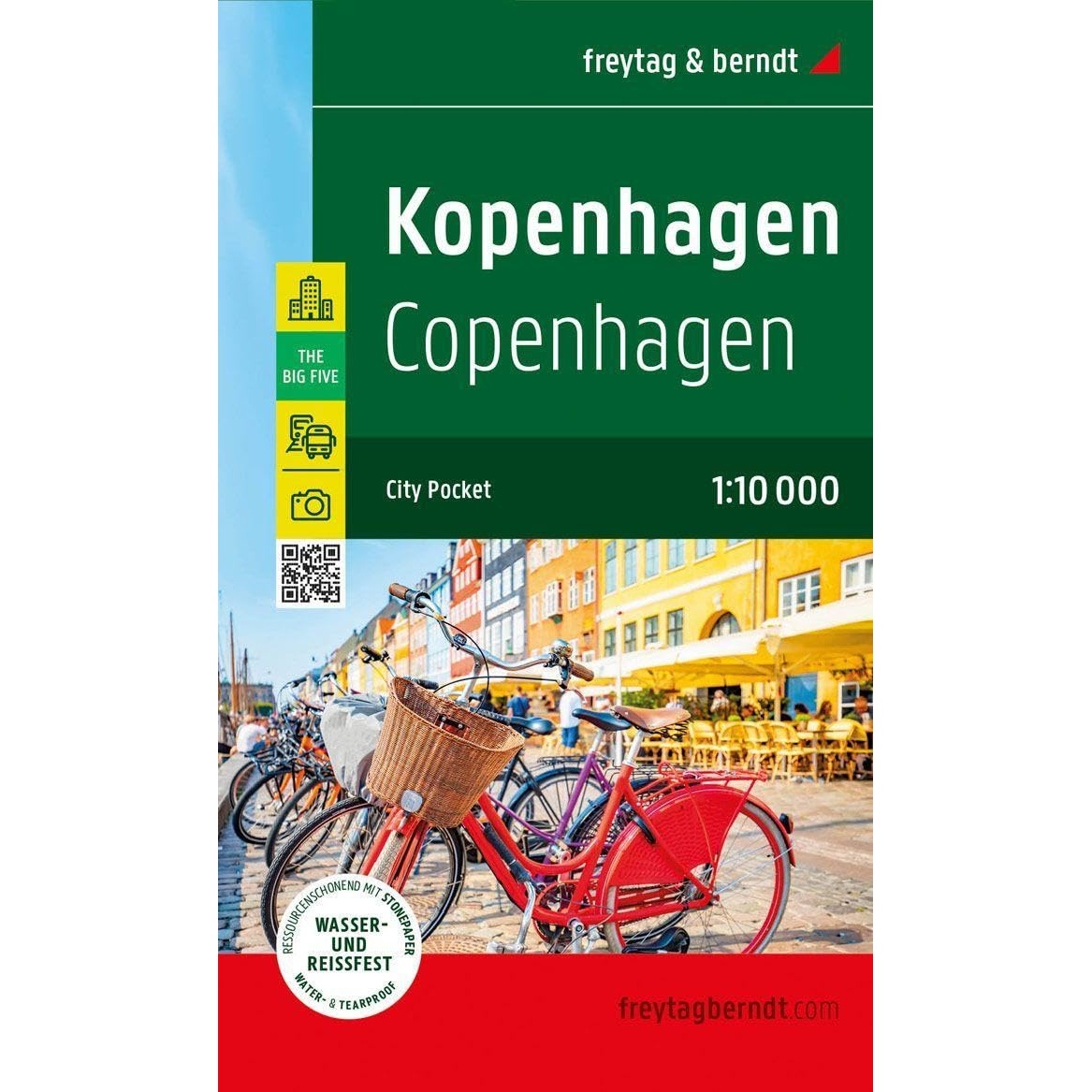
Copenhagen – city map (multilingual)
Detailed city map of Copenhagen with an overview of the street network and sights. Suitable for city walking and orientation. The map is in a practical format and printed on durable material that can withstand use in all kinds of weather. The 1:10,000 scale provides a high level of detail.
-
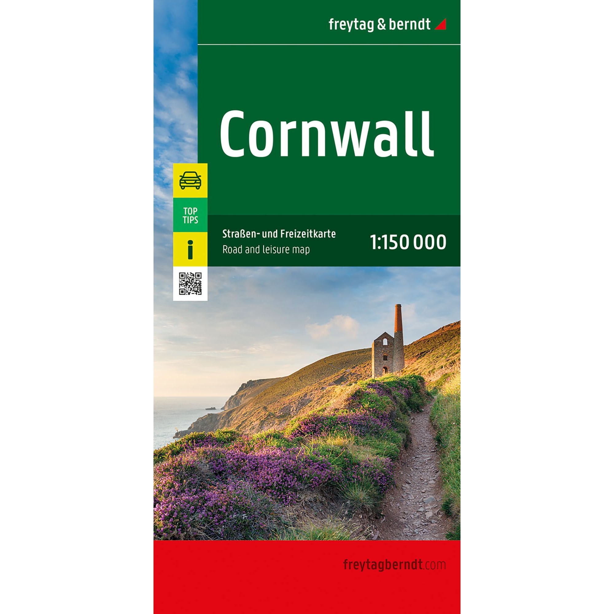
Cornwall – road map (multilingual)
Detailed road map of Cornwall with clear road network, tourist information and campsites. A handy map for car and motorhome travel in South West England.
-
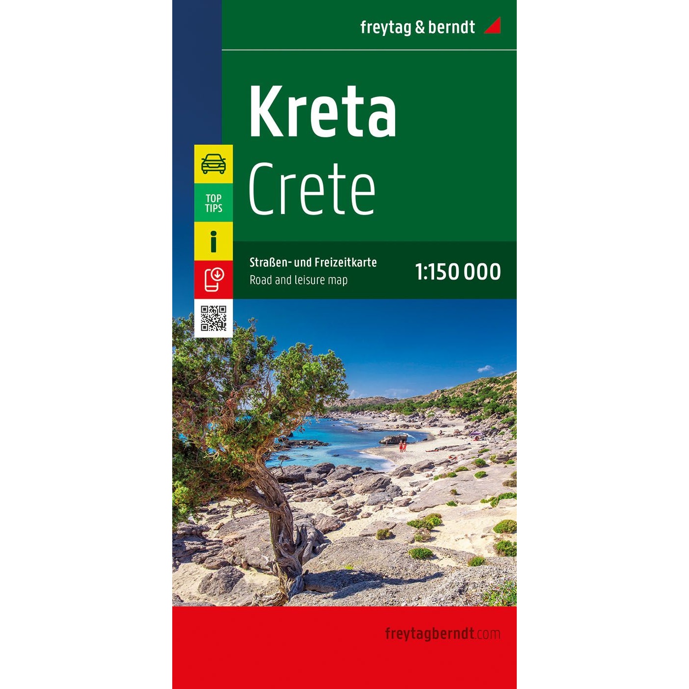
Crete – road map (multilingual)
Detailed and easy-to-use road map of Crete, ideal for road trips, motorhomes and motorcycles, with location index, city maps and digital Top Tips.
-

Croatia – coast – road map (multilingual)
Detailed road map of the Croatian coast from Istria via Kvarner to Dalmatia. The map is suitable for car, motorhome and motorcycle travel and covers the entire Adriatic coast with ferries, tourist information and campsites. Multilingual edition with high cartographic quality from freytag & berndt.
-
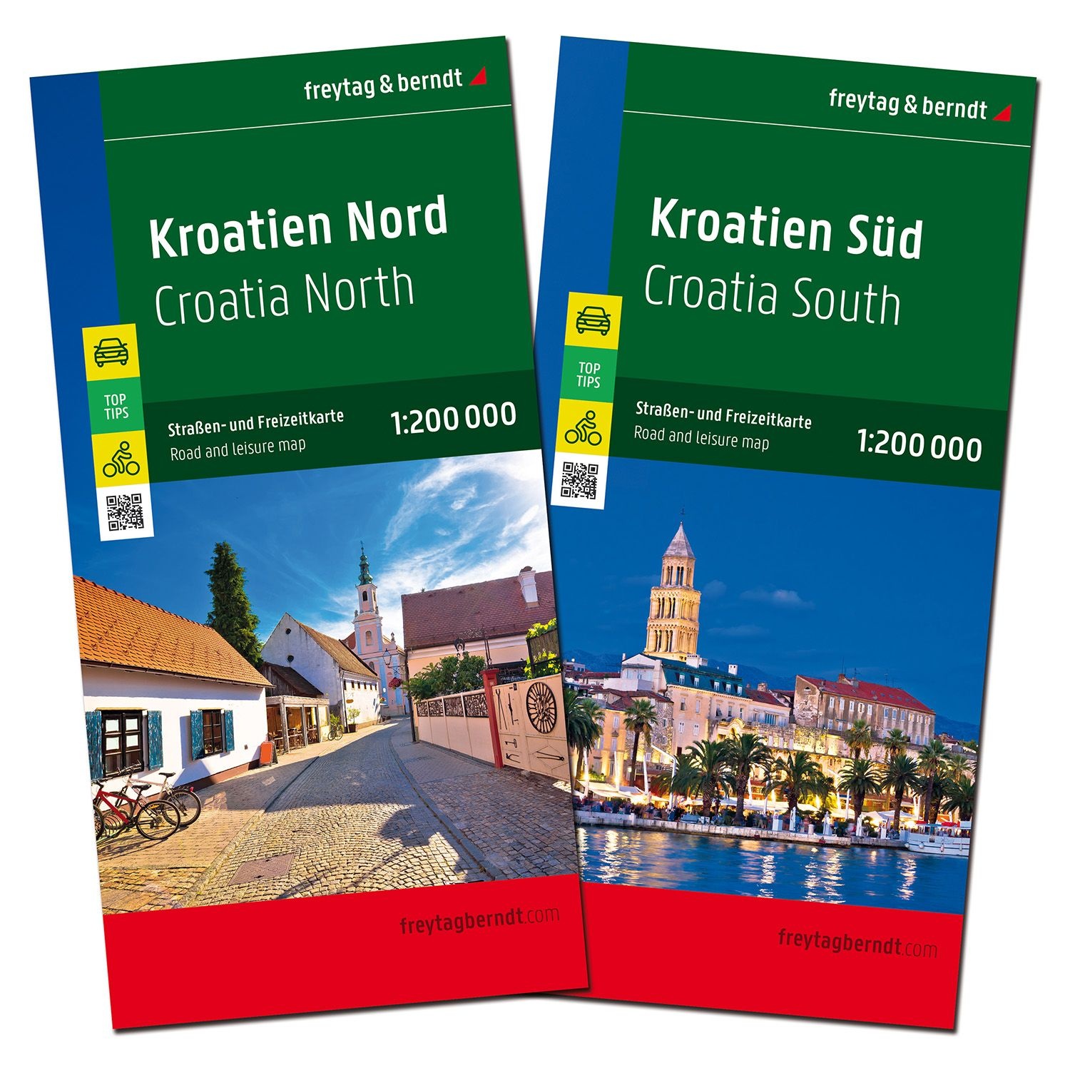
Croatia – Roadmap set (North & South, multilingual)
Detailed road map set of Croatia with two map sheets (North and South) at a scale of 1:200,000, suitable for road trips, camping and active travel.
-
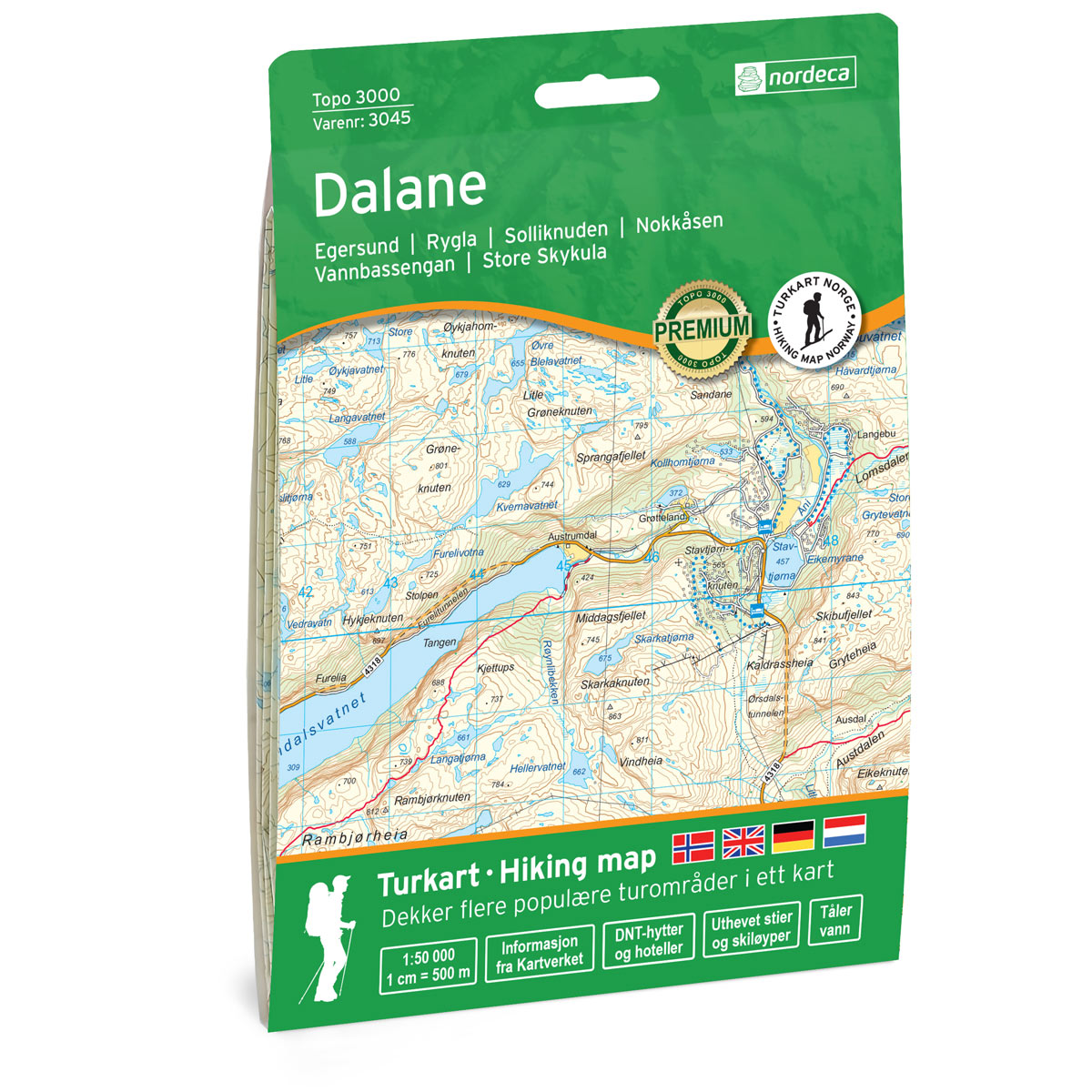
Dalane Topo 3000 Topo 3000 Turkart
Detailed topographic hiking map of Dalane Topo 3000 Topo 3000 Turkart, from Nordic Maps (formerly Nordeca). Topo 3000 is a popular map series for mountain hikes and longer hikes in varied terrain.
-
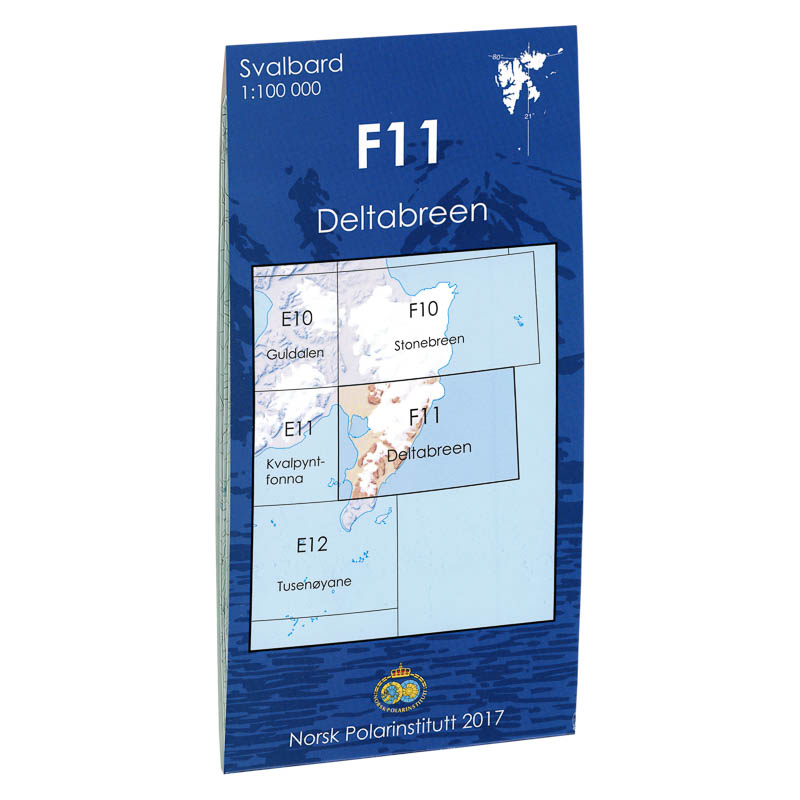
Deltabreen F11
Map in scale 1:100000 from the Norwegian Polar Institute.
-
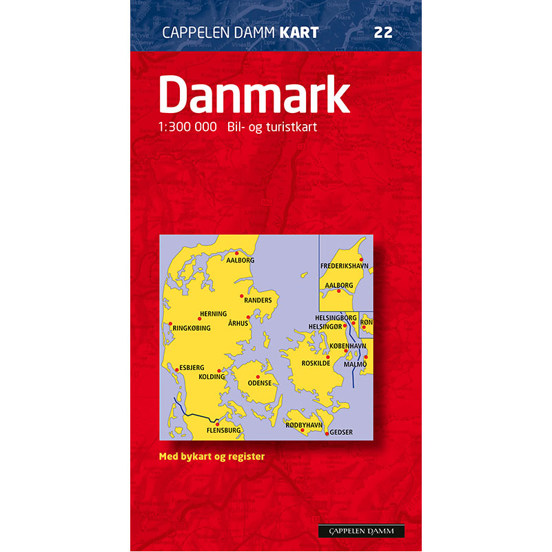
Denmark
Newly revised, detailed road map with kilometer distances and numbered highway junctions. Scenic roads are highlighted. Bornholm, Læsø and Anholt are shown as separate map sections. Separate map section Greater Copenhagen. Index booklet glued into the cover.
-
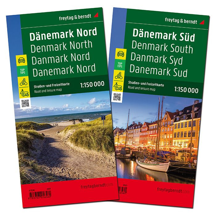
Denmark – road map set (multilingual)
Road map set of Denmark at a scale of 1:150,000 with two large maps, 14 city maps and info guide with travel tips. Released in 2021.