


Historical Maps
-
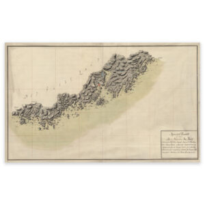
Map of the Mandal Lillesand section from 1797
Select options -
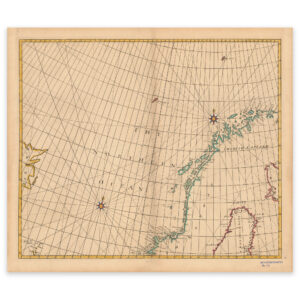
Map of the Norwegian Sea 1728
Select options -
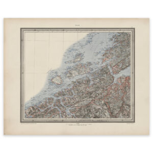
Mid-Norway 1901
Select options -
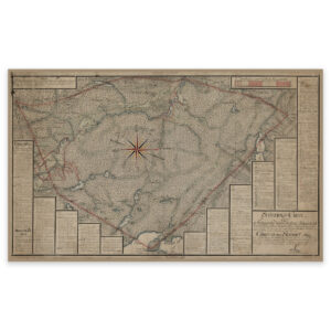
Moland vicarage 1577
Select options -
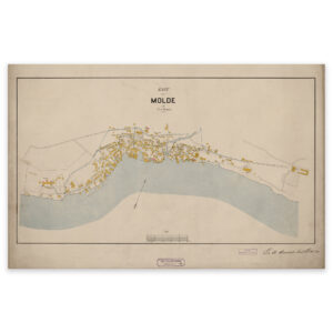
Molde 1897
Select options -
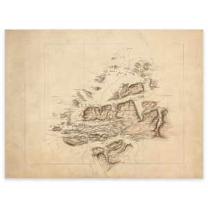
Molde, Hustadvika and Averøya 1890
Select options -
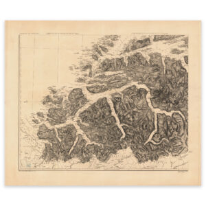
Møre and Romsdal 1919
Select options -
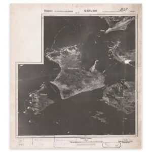
Møre and Romsdal 1944
Select options -
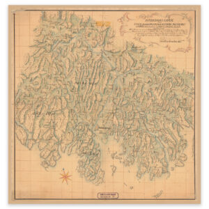
Moss 1740
Select options -
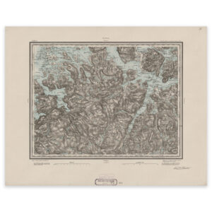
Namsos 1883
Select options -
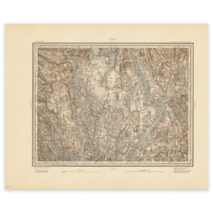
Nannestad 1882
Select options -
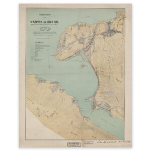
Narvik 1897
Select options -
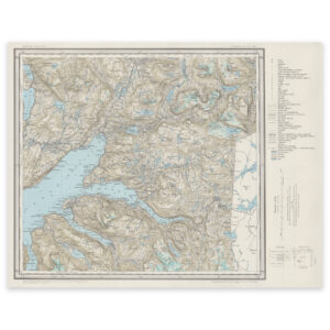
Narvik 1965
Select options -
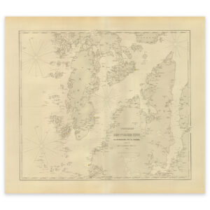
Nautical chart of the area Ryvarden Fyr, Bømlo and Stord
Select options -
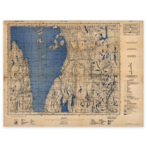
Nesoddtangen 1934
Select options -
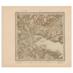
Nesseby 1900
Select options -
Nissedal
Select options -
Nord-Trøndelag 1869
Select options -

Nordfjord, City, Round
Select options -
Nordland 1964
Select options