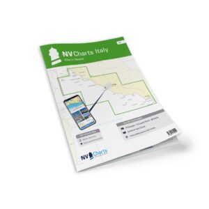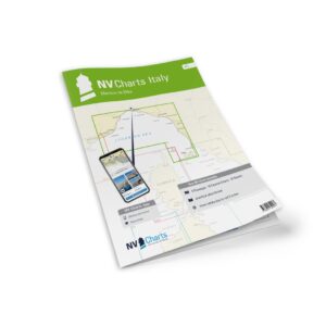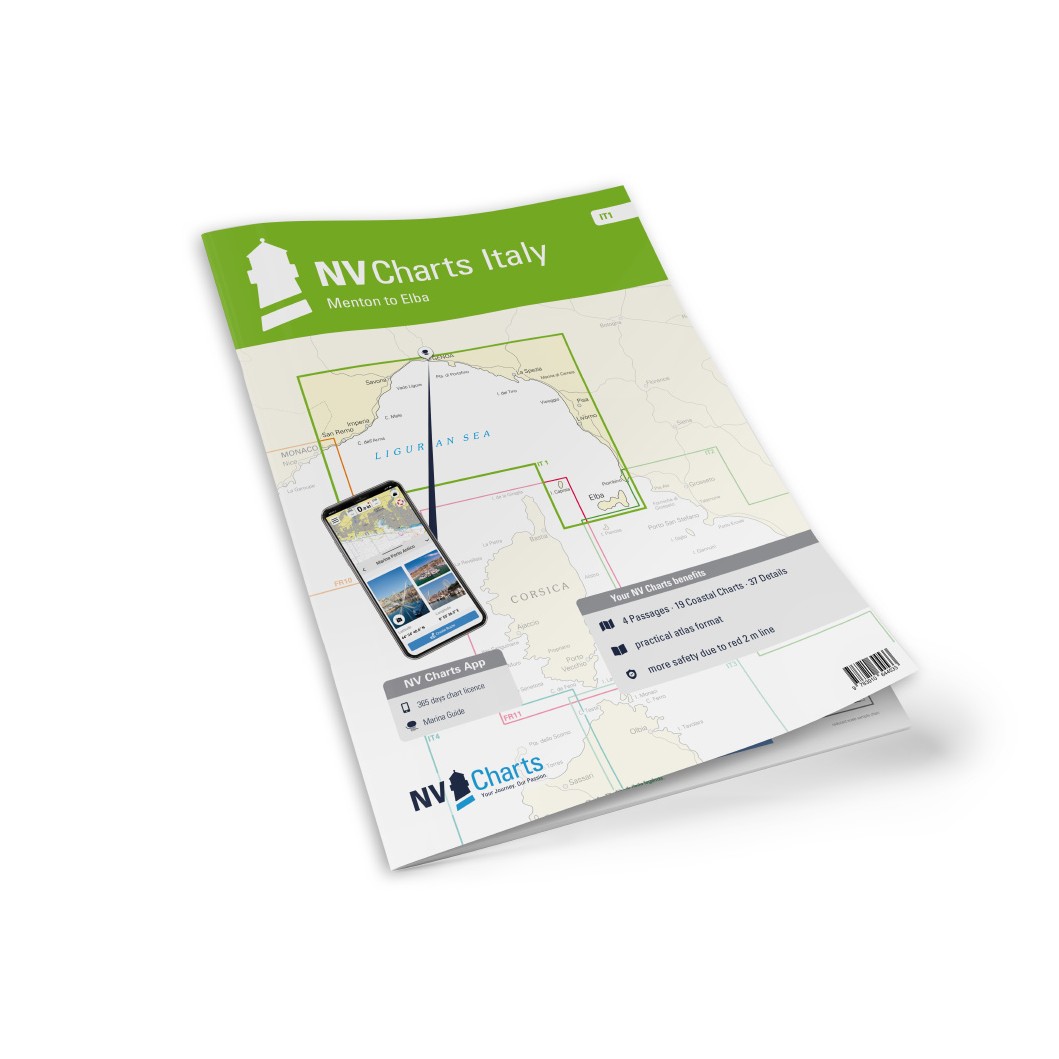
Description
NV Charts Italy IT1 Menton-Elba is a comprehensive package of paper and digital nautical charts covering the coastline from Menton on the French-Italian border along the Italian Riviera, through Liguria and Tuscany and all the way to the island of Elba. The charts provide detailed navigational information on water conditions, approaches, ports, anchorages and sailing routes in this popular Mediterranean area.
The area includes both well-known ports and rugged coastal landscapes, with places like San Remo, Portofino, Cinque Terre, Livorno and the islands of Capraia and Gorgona along the way, as well as Elba with its many anchorages. The maps are based on official data and NV Charts’ own measurements, and provide a clear overview for both planning and active navigation.
The map package first contains overview and passage maps that provide a basis for planning longer legs, including Mallorca to Sicily (C0, 1:1,750,000), Gulf of Genoa (C2, 1:350,000), Genoa to Elba (C3, 1:350,000) and Corsica Channel (C4, 1:350,000). These provide a good overview of large parts of the Ligurian and Tuscan seas.
Area maps at scales of 1:150,000 and 1:60,000 cover detailed coastal sailing with names such as Cap Martin to Capo Noli (C5, 1:150,000), Capo Noli to Portofino (C6, 1:150,000), Portofino to La Spezia (C7, 1:150,000), La Spezia to Livorno (C8, 1:150,000) and Tuscan Islands North (C9, 1:150,000), as well as Piombino to Elba (C10, 1:150,000). Further sections with 1:60 000 maps include Cap Martin to Capo dell’Arma (C11), Capo dell’Arma to Capo Mele (C12), Capo Mele to Punta Donato (C13), Punta Donato to Punta d’Invrea (C14), Punta d’Invrea to Genoa (C15), Genoa to Punta Manara (C16), La Spezia to Carrara (C17) and Pisa to Punta Fortullino (C18). Isola di Gorgona (C19A, 1:30,000), Capraia (C19B, 1:60,000) and Punta Fortullino to Cecina (C19C, 1:60,000) are also covered on medium-sized maps.
For detailed port navigation, the atlas contains a number of detailed maps at larger scales, such as Menton (C22A, 1:12,000), San Remo (C22B, 1:12,000), Marina degli Aregai (C22C, 1:12,000), Marina di San Lorenzo (C22D, 1:10,000), Imperia (C22E, 1:12,000), Andora (C22F, 1:6,000) and Alassio (C22G, 1:6,000). Also included are Loano (C23A, 1:10 000), Finale Ligure (C23B, 1:6 000), Savona (C23C, 1:12 000), Varazze (C23D, 1:6 000), Arenzano (C23E, 1:6 000), Genoa Sestri Ponente (C23F, 1:12 000), Genoa West (C24A, 1:20 000), Genoa East (C24B, 1:20 000) and Portofino to Rapallo (C25A, 1:15 000). The maps continue with Chiavari & Lavagna (C25C, 1:12 000), La Spezia (C26, 1:20 000), Sestri Levante (C27A, 1:12 000), Marina di Carrara (C27B, 1:12 000), Viareggio (C27C, 1:12 000), Porto di Pisa (C27D, 1:6 000), Livorno (C27E, 1:12 000), Marina Cala de Medici (C27F, 1:6 000) and Porto di Cecina (C27G, 1:10 000). Detailed anchorage and harbor maps include San Vincenzo (C28A, 1:6,000), Salivoli (C28B, 1:6,000), Puntone di Scarlino (C28C, 1:6,000), Porto Capraia (C28D, 1:6,000) and island maps for Elba: Marciana Marina (C29A, 1:6 000), Cavo (C29B, 1:10 000), Portoferraio (C29C, 1:12 000), Punta Ala Marina (C29D, 1:12 000), Porto Azzurro (C29E, 1:12 000), Marina di Campo (C29F, 1:6 000) and Rio Marina (C29G, 1:6 000).
The chart package is delivered in atlas format combined with digital access via the NV Charts app and for PC/Mac. The digital charts can be used offline and provide updated navigation data directly on board. Legend and general navigation notes are included with the charts.
Always delivered in the latest available edition from NV Charts. If a new and updated edition is launched within 30 days of purchase, the map can be exchanged for a new edition free of charge.