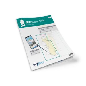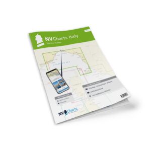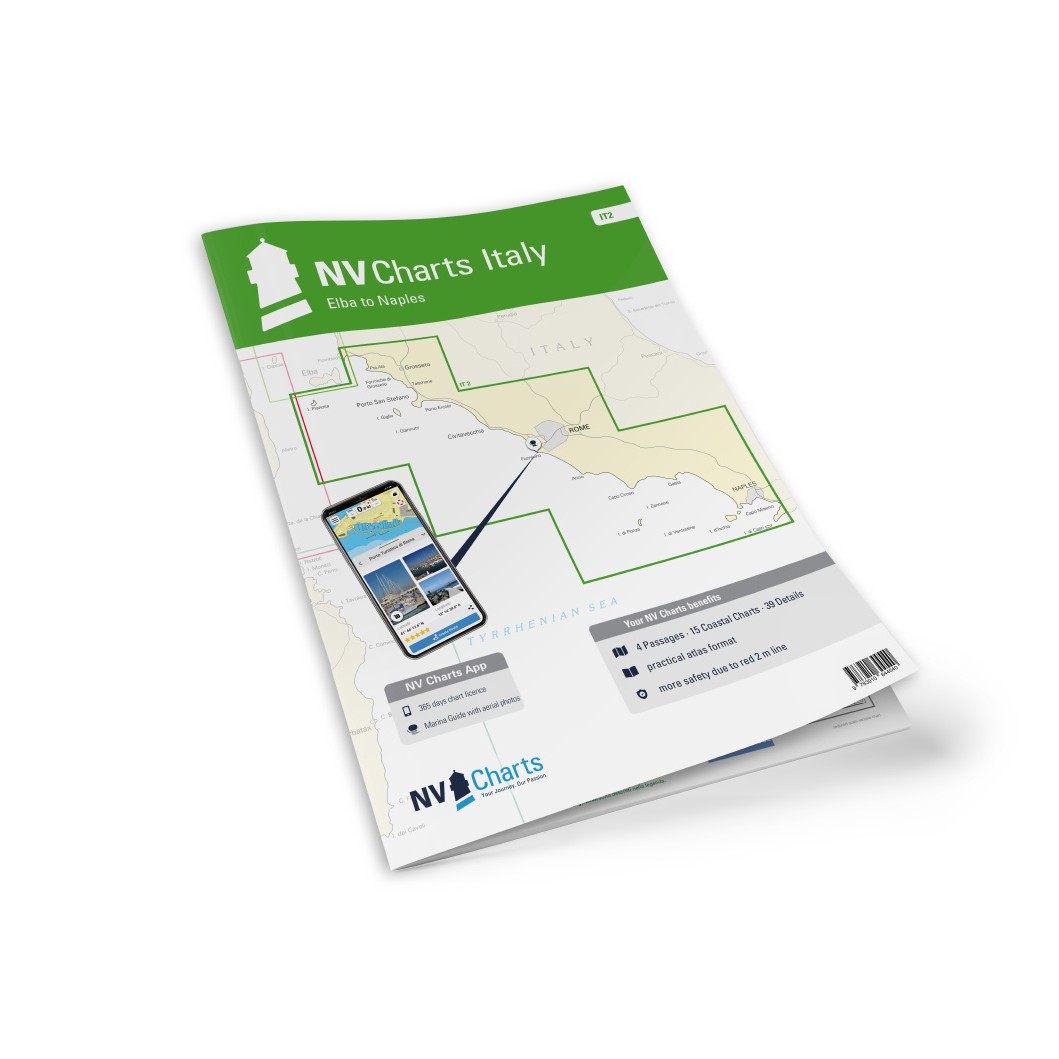
Description
NV Charts Italy IT2 Elba-Naples is a complete package of paper and digital nautical charts covering the central part of the Italian Mediterranean, from the island of Elba south-east to Naples. This area includes large parts of the Tyrrhenian Sea with famous islands such as Giglio, Ponza, Ischia and Capri, as well as coastlines characterized by historic ports, beautiful bays and many popular anchorages. NV Charts’ clear layout helps leisure sailors find approaches, ports and anchorages quickly while providing detailed navigation data that is also displayed in the NV Charts app on mobile, tablet or PC/Mac.
The map pack includes overview and passage maps for longer stages such as C1 Mallorca to Sicily (1:1,750,000), C2 Corsica Channel to Mt. Argentario (1:350 000), C3 Mt. Argentario to Capo Circeo (1:350,000) and C4 Capo Circeo to Capri (1:350,000), which provide a good general overview of large areas of the Tyrrhenian Sea. }
More detailed coastal information can be found in area maps such as C5 Tuscan Islands South (1:150 000), C6 Punta Ala to Mt. Argentario (1:150 000), C7 Mt. Argentario to Capo Linaro (1:150 000), C8 Capo Linaro to Rome (1:150 000), C9 Rome to Capo Circeo (1:150 000), C10 Capo Circeo (1:150 000), C11 Mt. Orlando to Ischia (1:150 000), C12 Gulf of Napoli (1:150 000), C13 Punta Ala to Elba (1:60 000), C14 Mt. Argentario (1:60 000), C15 Mt. Argentario South (1:60 000), C16 Approach to Rome (1:60 000), C17 Isoli Ponza (1:60 000), C18 Ischia (1:60 000), C19 Naples – Napoli (1:60 000) and C20 Capri (1:60 000). :contentReference}
For detailed navigation in harbors, inlets and smaller waters, the set includes a number of detailed charts such as C21A Punta Ala (1:12,000), C21B Castiglione della Pescaia (1:6,000), C21C Marina di San Rocco (1:6,000), C21D Talamone (1:6,000), C21E Porto Santo Stefano (1:6,000), C21F Porto Ercole (1:12,000), C22A Giglio Porto (1:6 000), C22B Isola di Giannutri (1:25 000), C22C Riva di Traiano (1:6 000), C22D Santa Marinella (1:6 000), C22E Civitavecchia (1:12 000), C23A Fiumicino (1:10 000), C23B Fiumara Grande (1:12 000), C23C Anzio (1:12 000), C23D San Felice Circeo (1:6 000), C23E Terracina (1:6 000), C24A Golfo di Gaeta (1:20 000), C24B Ponza – Cala dell’Acqua (1:12 000), C24C Porto di Ponza (1:10 000), C24D Ventotene (1:15 000), C25A Sant’ Angelo (1:6 000), C25B Forio (1:6 000), C25C Casamicciola (1:6 000), C25D Porto d’Ischia (1:6 000), C25E Procida – Chiaiolella (1:6 000), C25F Marina di Procida (1:6 000), C25G Marina di Torre Fumo (1:6 000), C25H Porto Miseno (1:18 000), C26A Golfo di Pozzuoli (1:12 000), C26B Nisida (1:12 000), C26C Sanazzaro Mergellina (1:10 000), C26D Santa Lucia (1:10 000), C27A Torre del Greco (1:6 000), C27B Torre Annunziata (1:12 000), C27C Stabia (1:12 000), C27D Marina di Equa (1:6 000), C27E Marina di Cassano (1:6 000), C27F Sorrento (1:6 000) and C27G Capri (1:6 000).
The chart package is delivered in atlas format combined with digital access via the NV Charts app and PC/Mac. The digital charts can be used offline, with access to detailed navigation data, port information and anchoring options. Legend and general navigation notes are also included for increased usability.
Always delivered in the latest available edition from NV Charts. If a new and updated edition is launched within 30 days of purchase, the map can be exchanged for a new edition free of charge.