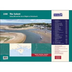
Description
This nautical chart package covers The Solent and the Isle of Wight, one of the busiest and most popular sailing areas in the UK. The chart pack provides a detailed and up-to-date representation of the waters and is well suited to both planning and executing a voyage.
The area covers the coastline on the south coast of England, including the approaches to the Solent and the many ports and rivers in the region. The maps cover key port areas such as Portsmouth Harbour, Southampton Water and Chichester Harbouras well as a number of smaller marinas and anchorages. The area is known for its complex tidal currents and heavy ship traffic, so the charts provide important information for safe navigation.
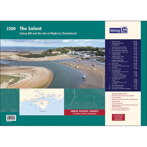
The map pack consists of 16 map sheets in A2 format, delivered in a sturdy plastic folder. The charts include necessary information for route planning, coastal navigation and detailed approaches to ports and moorings. Several areas are shown at a larger scale for better detail, especially in busy harbors and narrow waters.
The map pack includes the following coverage: overview maps for the approaches to the Solent. The coastline from Christchurch to the Solent, as well as the south coast of the Isle of Wight. The eastern approaches and central parts of the Solent with detailed navigational charts. The port areas around Portsmouth, Langstone and Chichester with several separate map sheets for a better overview and level of detail. Southampton Water and the western parts of the Solent with associated ports. Also included are detailed harbor plans for a number of locations including Cowes, Yarmouth, Bembridge and several rivers and marinas.
The map package also includes updated reporting points for vessel traffic services (VTS), which is particularly relevant for larger vessels. In addition, the package includes access to digital charts via a mobile application.
The clear cartography and high level of detail make this map pack suitable for both planning and active use along the way in one of Europe’s most used sailing areas.
Release year: 2024.