Description
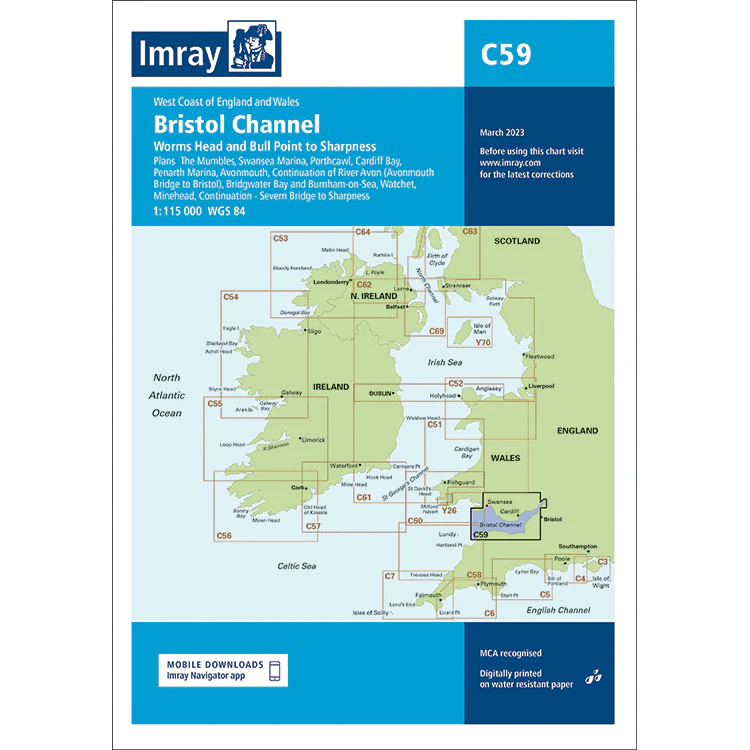
This boating map covers the Bristol Channel between the west coast of England and the south coast of Wales, from Worms Head and Bull Point to Sharpness. The area is known for its large tidal differences, strong currents and complex approaches to rivers and harbors, placing high demands on good route planning.
The chart provides an overview of coastlines, waters, key ports and river inlets, and is suitable for both coastal sailing and longer passages in the Bristol Channel. It works well as a planning and overview chart, often used in conjunction with more detailed harbor and local charts for safe navigation in these challenging waters.
Imray is a renowned British chart manufacturer with extensive experience in nautical charts and publications for leisure boats. Designed for practical use on board, their charts combine clear cartography with reliable nautical information for sailors and powerboaters.