Description
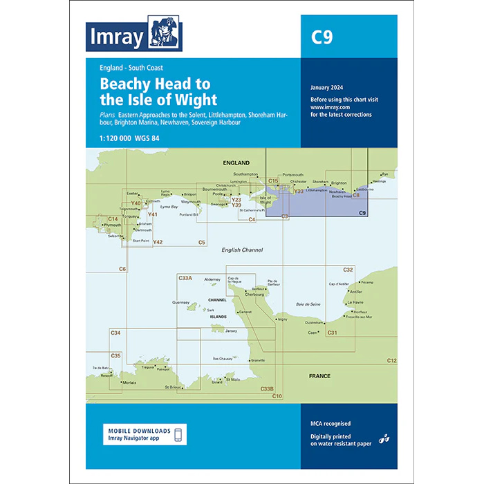
This nautical chart covers the stretch from Beachy Head to the Isle of Wight along the southern English Channel coast. The chart has been prepared for leisure boat and sailboat navigation in this busy area with several important harbors and approaches.
Covering the southern entrance to the English Channel, the area provides sailors with an overview of coastlines, fairways, ports and detailed information for safe navigation between Beachy Head and the Isle of Wight. The map also includes several detailed plans for harbors and marinas useful for small boats and charters – such as Portsmouth, Langstone & Chichester Harbors and Brighton Marina.
Specifically designed for recreational use, Imray charts combine official hydrographic information with local updates to provide reliable and convenient navigation data for recreational sailors.