
Description
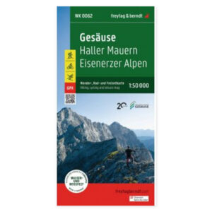
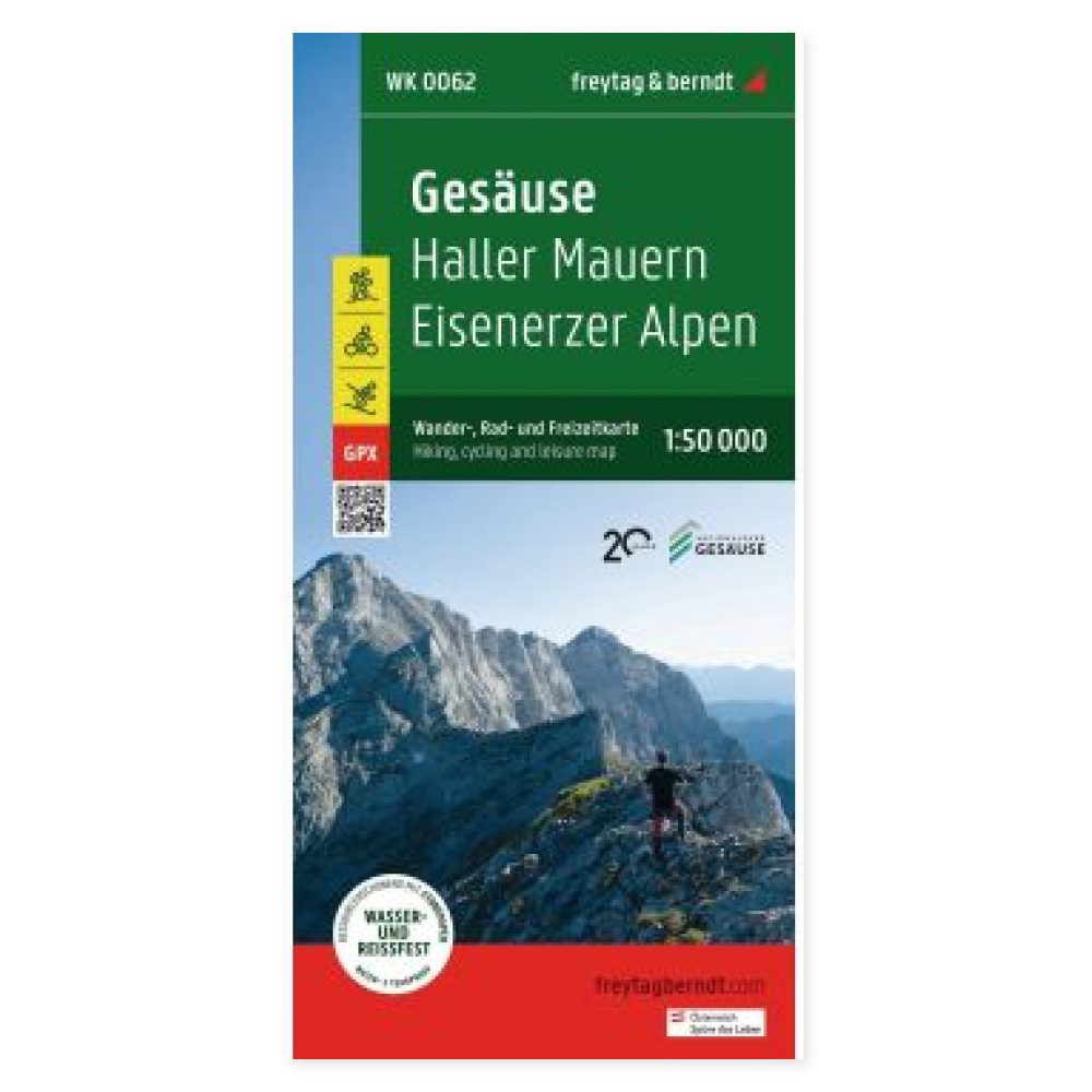
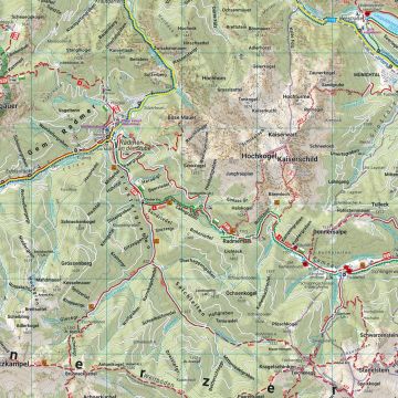
The Gesäuse hiking map at a scale of 1:50,000 provides a detailed basis for hikes and trip planning in this Austrian region. The map shows hiking trails and long-distance routes, giving you a clear overview of the various hiking options on paper.
Cycling roads and mountain bike trails are marked along with tourist information. The included info guide offers a brief introduction to the region and recommendations for hikes, bike rides, and mountain bike tours.
Ski routes, cross-country trails, cable cars, and lifts make the map useful for winter planning as well. GPX tracks complement the paper version; follow the supplier’s instructions included with the map for digital access.
Waterproof and tear-resistant material makes the map well suited for outdoor use. It is printed on both sides and can be unfolded for group planning.
Practical information: Scale 1:50,000, equivalent to 500 meters per centimeter. Unfolded size approx. 69 × 82 cm. Language: German, English, and Czech. Year of publication 2022. ISBN 9783707919776. Publisher Freytag & Berndt.