Description
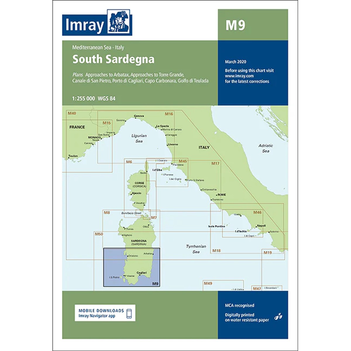
Imray M9 South Sardegna is a detailed nautical chart covering South Sardinia and surrounding waters in the Mediterranean. The map includes entrances and harbor areas at Cagliari, Arbatax, Torre Grande, as well as Golfo di Cagliari, Capo Carbonara and Golfo di Teulada.
The chart provides a good overview of shoals, anchorages, navigation marks and harbors in an area that combines open coastlines with well-protected bays. As with other Imray charts, it is produced to WGS 84 datum and is fully compatible with modern electronic navigation systems.
The chart is printed on durable, water-resistant paper and is well suited for active use on board. It works both as a primary navigational aid and as a supplement to an electronic chartplotter.