Description
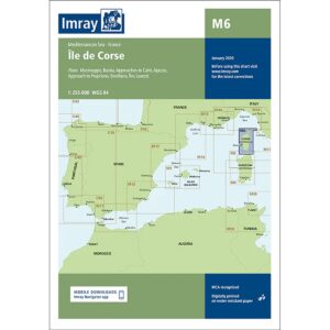
Imray M45 Tuscan Archipelago is a detailed nautical chart covering the Tuscan archipelago west of the Italian mainland coast. The map includes inlets and harbors at Elba, Capraia, Giglio, Giannutri, Montecristo and Pianosa, as well as adjacent coastal areas.
The chart provides a clear overview of shoals, anchorages, navigation marks and harbors in an area that combines open stretches of sea with well-protected bays. As with other Imray charts, it is produced to WGS 84 datum and is compatible with modern electronic navigation systems.
Printed on durable, water-resistant paper, the map is suitable for active use on board, both as a primary navigation aid and as a supplement to an electronic chartplotter.