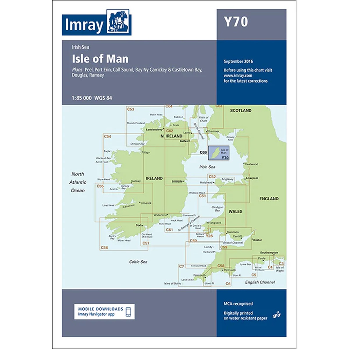
Description
Imray Y70 Isle of Man is a detailed nautical chart covering the Isle of Man and surrounding waters of the Irish Sea. The chart includes key ports and approaches such as Douglas, Ramsey, Peel, Port Erin, Castletown and Calf Sound, as well as adjacent coastlines.
The chart is produced according to WGS 84 datum and meets the requirements for use with modern electronic navigation systems. It is printed on durable, water-resistant paper and is well suited for practical use on board.
As part of the Imray Y-series, the chart is designed for recreational boating, with clear cartography, clear depth indications and easy-to-read navigation data. The chart can be used both as a primary navigation aid and as a supplement to an electronic chartplotter.