Description
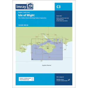
This boating chart covers the Isle of Wight and surrounding waters along the south coast of England. The chart includes detailed plans of key navigation areas such as the Needles Channel, as well as harbors and approaches to Yarmouth, Cowes, Newport, Bembridge Harbour and adjacent coastal areas on both the island and the mainland.
The chart is well suited to leisure boats and sailboats operating in the Solent and around the Isle of Wight, either as part of coastal cruising or as a base for longer trips in the English Channel. The area is one of the busiest recreational boating areas in the UK, with strong tidal currents, heavy local traffic and complex shipping lanes, and the chart provides a solid foundation for safe navigation and route planning.
Imray is a recognized British chart manufacturer with extensive experience in nautical cartography for leisure and long-distance sailing. Their charts are developed with a focus on high readability, practical use and clear presentation of navigation-relevant information.