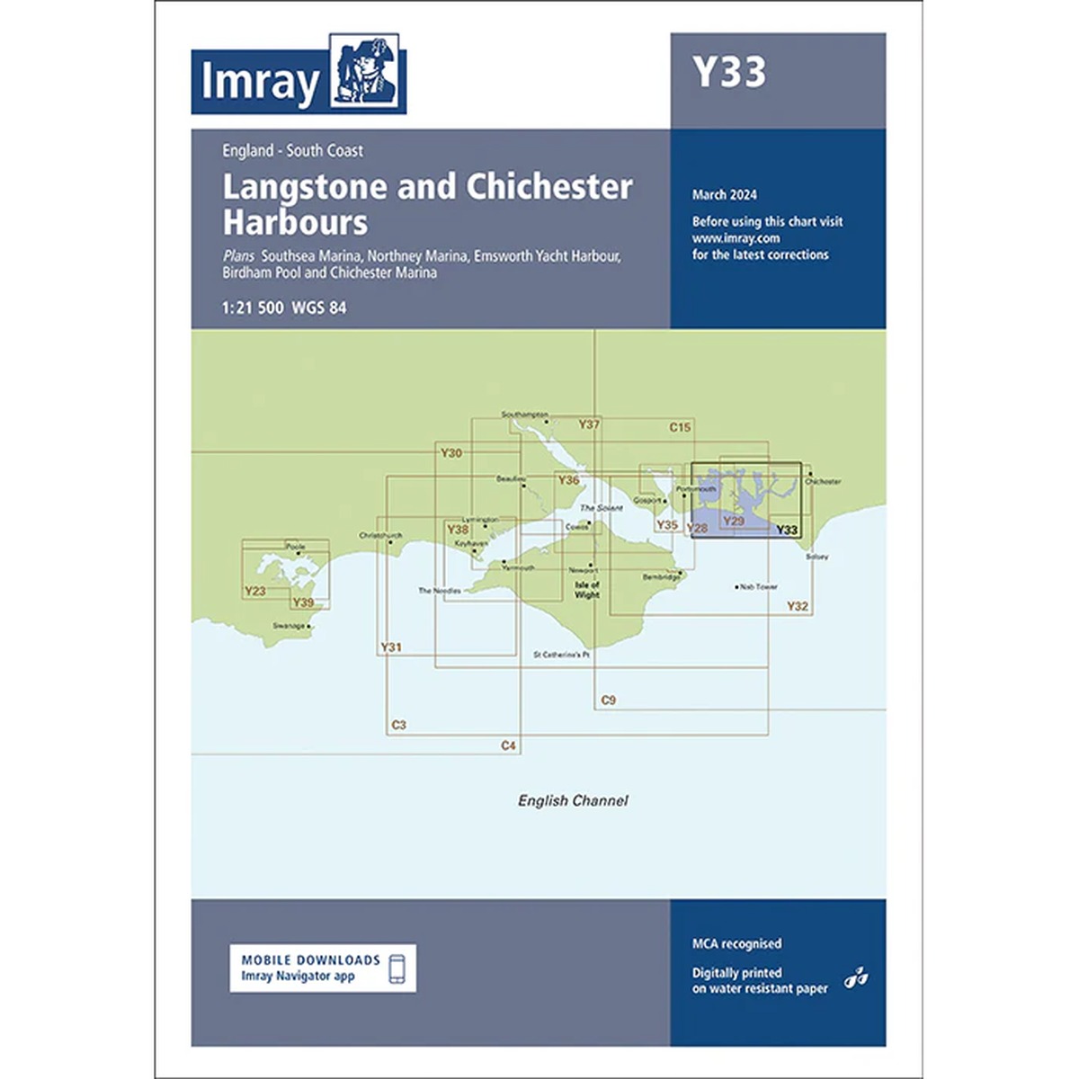
Description
Imray Y33 Langstone and Chichester Harbours is a detailed nautical chart covering Langstone Harbour and Chichester Harbour west of Portsmouth, an area heavily used by both sailing and motor boats. The map includes the entrances to Langstone Harbour and Chichester Harbour, as well as marinas such as Chichester Marina, Emsworth Yacht Harbour, Northney Marina and Port Solent.
The chart provides clear representation of shoals, channels, tidal areas and navigation marks, which is essential for safe navigation in these shallow and dynamic waters. Like other Imray charts, it is produced to WGS 84 datum and is compatible with modern electronic navigation systems.
The chart is printed on durable, water-resistant paper and is well suited for active use on board. It serves both as a primary navigational aid in port areas and as a supplement to electronic chartplotters.