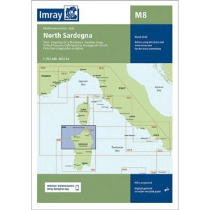
Description
Imray M8 North Sardegna is a detailed nautical chart covering northern Sardinia and surrounding waters, including the La Maddalena archipelago, Golfo di Cugnana, Golfo Aranci and approaches to the Bonifacio Strait between Sardinia and Corsica.
The chart provides a clear overview of harbors, anchorages, shoals and navigation marks in an area known for challenging wind conditions and many reefs. As with other Imray charts, it is produced to WGS 84 datum and is fully compatible with modern electronic navigation systems.
The chart is printed on durable, water-resistant paper and is well suited for active use on board. It serves both as a primary navigation aid along the coast of northern Sardinia and as a supplement to an electronic chartplotter.