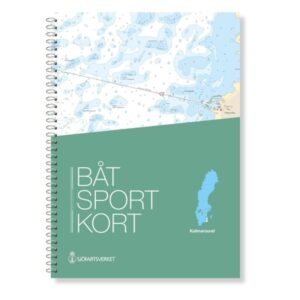
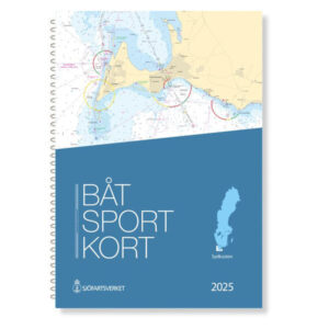
Description
The official Swedish boating map Gulf of Bothnia is the northernmost of the Swedish Maritime Administration’s boating maps and covers the northwestern part of the Gulf of Bothnia, from Bygdea in the south to Tornio on the Finnish-Swedish border.
Official map data from the Swedish Maritime Administration
The boating maps are extracts from the official “archipelago maps” and are designed in a practical format that makes them particularly suitable for navigation in smaller leisure boats. The charts are delivered in the latest and most up-to-date version, based on current map data from the Swedish Maritime Administration. This ensures that changes in fairways, depths, markings and other nautical conditions are correctly reproduced.
Scales and level of detail
The map set is mainly prepared at a scale of 1:50,000, with more detailed maps for particularly demanding navigation areas. In addition, there are overview maps at 1:250,000 that provide good support for route planning and overall navigation.
Practical format for use on board
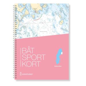
The chart sheets are spiral bound in a user-friendly format of 30 × 42 cm and supplied in a transparent protective folder. The charts are designed for active use in the cockpit and at the chart table, with clear chart references between adjacent chart sheets.
Areas and harbors
The map covers waters and harbors around Karlsborg Axelsvig, Haparanda harbor, Sikeå, Båtskärsnäs, Seskarö, Halön and Ratan, and provides a good basis for navigation along the entire Swedish coastline in the Gulf of Bothnia.