


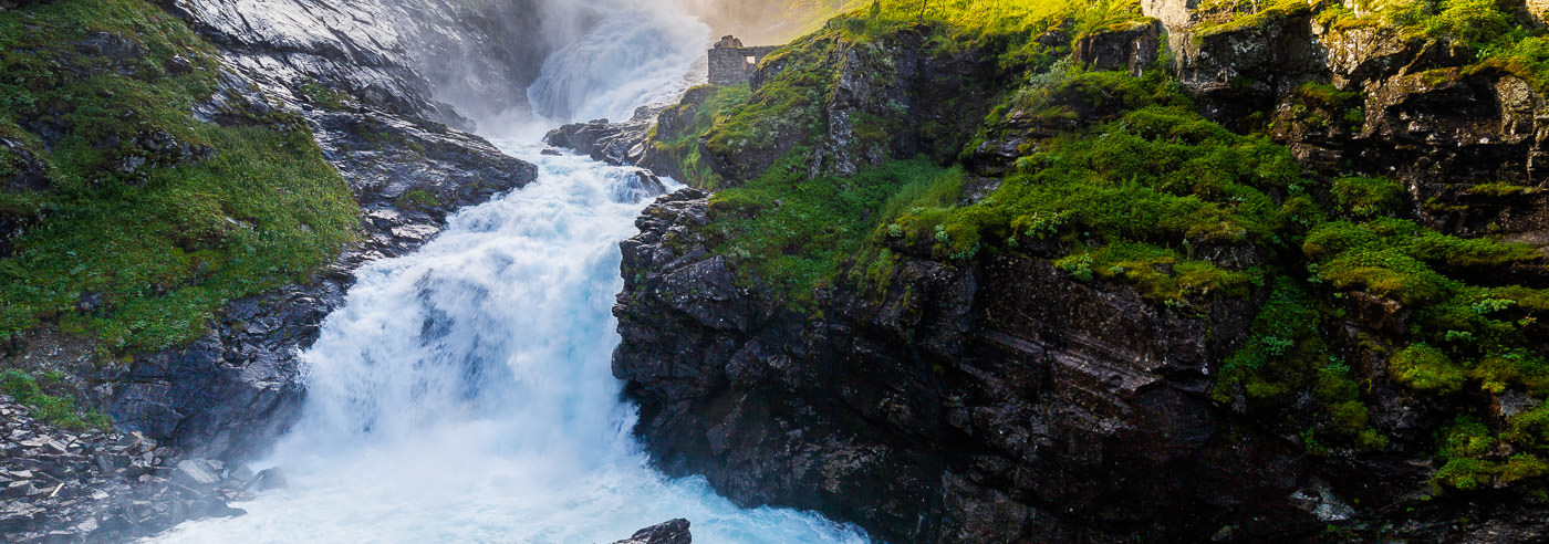
Finse · Østerbø · Vassbygdi
Aurlandsdalen
From mountain country to a lush valley in Sogn. Find hiking maps for Aurlandsdalen and wider maps linking the valley with Finse and Hallingskarvet.
Explore the area
Plan your visit
Aurlandsdalen combines rivers, steep valley sides and traces of old travel routes. The section between Østerbø and Vassbygdi is well known, but the valley can also form part of a longer mountain journey. Let your itinerary determine how much map coverage you need.
Hiking maps for Aurlandsdalen
Local detail maps and wider coverage. Compare scale and map extent on the product pages to find the right combination for your itinerary.
-
In stock
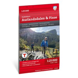
Aurlandsdalen & Finse High Mountain Map 1:25,000
15,29 € Add to cart -
In stock
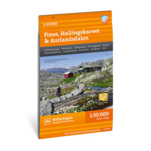
Turkart Finse, Hallingskarvet & Aurlandsdalen, 1:50.000
18,36 € Add to cart -
In stock
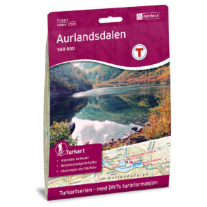
Aurlandsdalen DNT Turkart
19,90 € Add to cart -
In stock
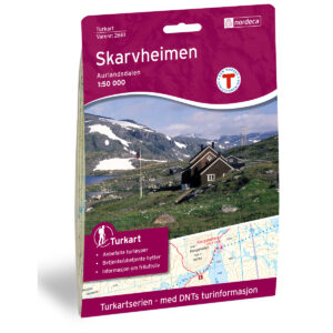
Skarvheimen DNT Hiking Map
19,90 € Add to cart -
In stock
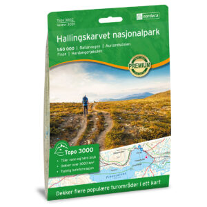
Hallingskarvet National Park Topo 3000 Hiking Map
19,90 € Add to cart
Books and guides for your trip
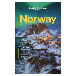
Lonely Planet Norway complements the journey to the fjords and onward travel around Norway. Use a hiking map for the walk itself and the travel guide for the wider holiday.
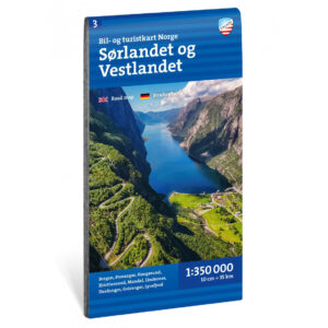
Road maps for the wider journey
For access roads and onward travel. These maps cover larger regions and complement the hiking maps above.
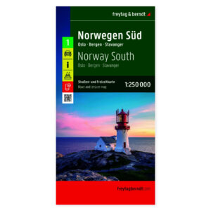
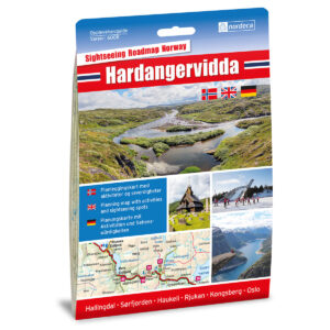
Before you set off
Make room for a good trip
Plan transport between the start and finish if walking one way through the valley. Check local trail conditions and opening dates for the places where you intend to stay.
A map that covers your whole route
Check the map extent, scale and edition before choosing. Bring a map and compass you know how to use, and consult current local conditions and weather forecasts.
Read the Norwegian Mountain Safety Code →Kartverket N50 – topographic map sheets
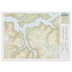
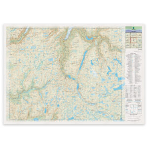
Selected map sheets for the area, with formats and materials shown on each product page. Check the map extent. The folded hiking maps above are often more convenient to carry on a walk.
Where next?