Popular hiking maps
-
Bestselger
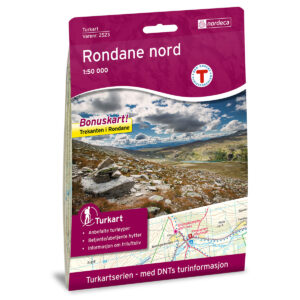
Rondane Nord DNT Turkart
kr 259,00 Add to cart -
Bestselger

Hardangervidda Øst DNT Turkart
kr 259,00 Add to cart -
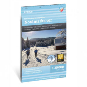
Løypekart Nordmarka sør
kr 259,00 Add to cart -
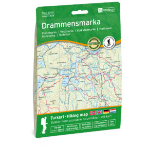
Drammensmarka Topo 3000 Turkart
kr 259,00 Add to cart -
Turkart Børgefjell 1:50.000
kr 239,00 Add to cart -
Turkart Rondane 1:50.000
kr 239,00 Add to cart -
Løypekart Nordmarka nord
kr 259,00 Add to cart -
Løypekart Østmarka
Read more -
Løypekart Vestmarka
Read more
Popular Hiking Destinations
Find maps for popular hiking destinations in Norway – with overviews of routes, peaks, and local hiking opportunities.
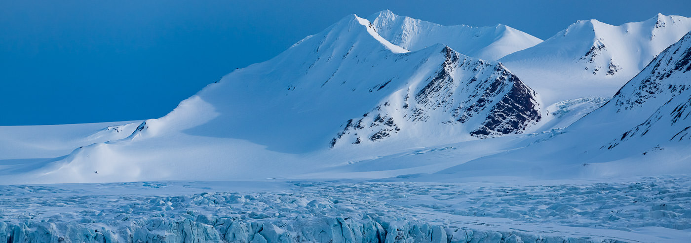
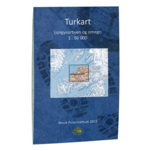
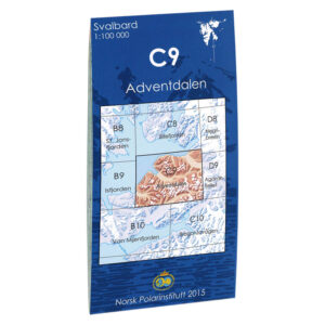
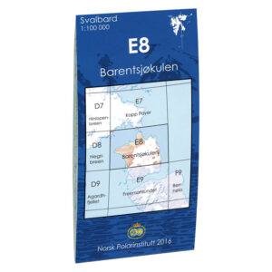
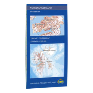
Topographic Maps from the Norwegian Polar Institute
For over 50 years, the Norwegian Polar Institute has produced detailed topographic and scientific maps of Svalbard. The maps cover most islands and areas at scales of 1:100,000 and 1:250,000, and are a natural choice for research, fieldwork, education, and trip planning on land.
At Kart.no, you will find all maps from the Norwegian Polar Institute gathered in one place. With 83 available maps, the range covers everything from detailed field maps to large overview maps of the Arctic and Antarctica.
Swedish Hiking Maps
-

Kungsleden: Kebnekaise, Abisko & Riksgränsen 1:50.000
kr 199,00 Add to cart -
Rogen Svensk Fjellkart
kr 249,00 Add to cart -
Fulufjället Svensk Fjellkart
kr 249,00 Add to cart -
Idre Svensk Fjellkart
kr 249,00 Add to cart -
Sälenfjällen 1:25.000
kr 199,00 Add to cart -
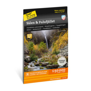
Sälen & Fulufjället 1:50.000
kr 199,00 Add to cart
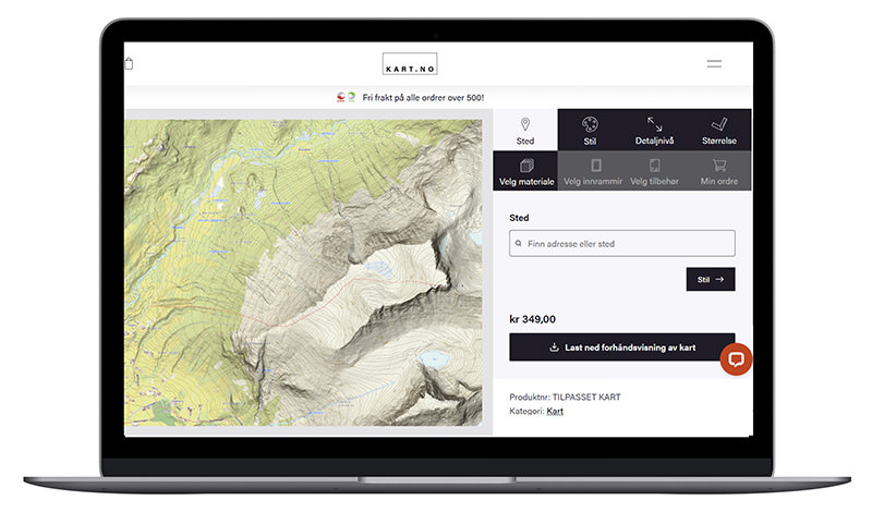
Lag ditt eget turkart
Finner du ikke akkurat det du leter etter? Med vår kartdesigner kan du velge eget utsnitt og få kartet levert som papirkart, Tyvek, veggkart eller innrammet versjon – perfekt til turplanlegging, veggdekor eller som gave.