


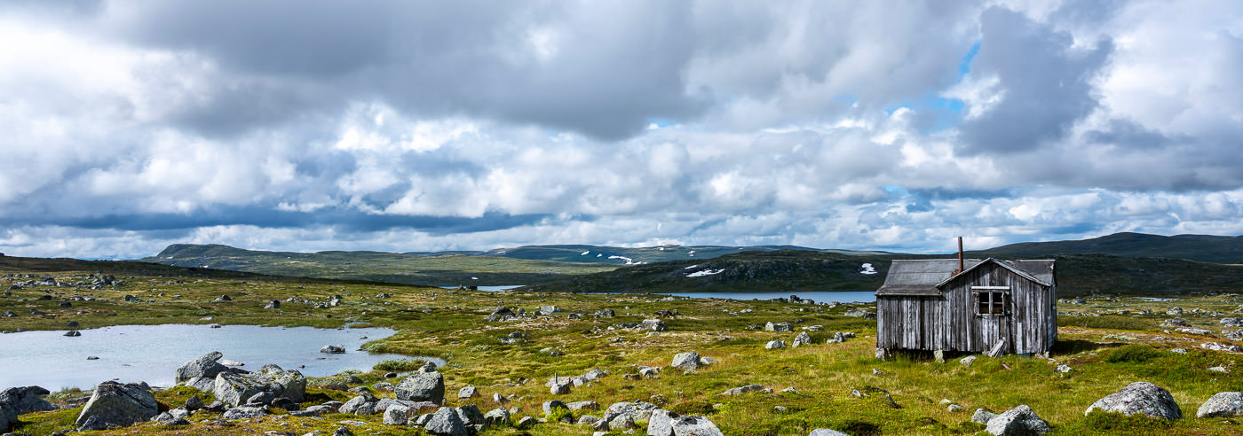
Finse · Hårteigen · Rjukan · Haukelifjell
Hardangervidda
Long distances, open uplands and a network of huts and trails. Find maps for the whole itinerary, from a single walking area to several stages across Hardangervidda.
Explore the area
Plan your visit
Hardangervidda is too large for one detailed map to cover every possible journey. Start with your trailhead, finish and planned overnight stops, then compare map extents. North, south, east and west offer different access points and mapping needs.
Hiking maps for Hardangervidda
Local detail maps and wider coverage. Compare scale and map extent on the product pages to find the right combination for your itinerary.
-
In stock
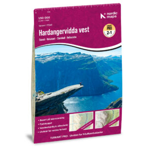
Hiking Map Pro: Hardangervidda West, 1:50,000
19,90 € Add to cart -
In stock
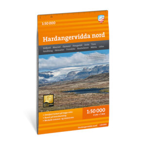
Turkart Hardangervidda north 1:50.000
18,36 € Add to cart -
In stock
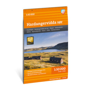
Turkart Hardangervidda south 1:50.000
18,36 € Add to cart -
In stock
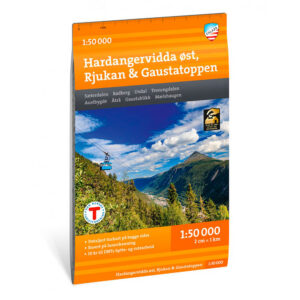
Turkart Hardangervidda east, Rjukan & Gaustatoppen 1:50 000
18,36 € Add to cart -
In stock
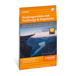
Turkart Hardangervidda west, Trolltunga & Folgefonna 1:50.000
18,36 € Add to cart -
BestsellerIn stock
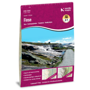
Hiking Map Pro Finse 1:50,000
19,90 € Add to cart -
In stock
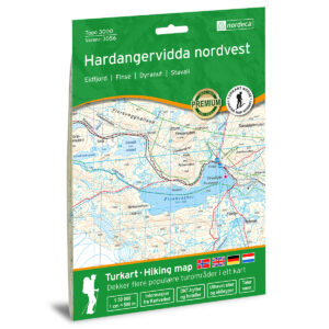
Hardangervidda nordvest Topo 3000 Turkart
19,90 € Add to cart -
In stock
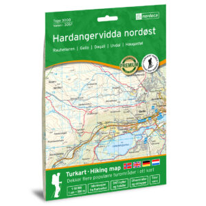
Hardangervidda northeast Topo 3000 Turkart
19,90 € Add to cart -
In stock
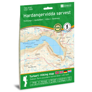
Hardangervidda sørvest Topo 3000 Turkart
19,90 € Add to cart -
In stock
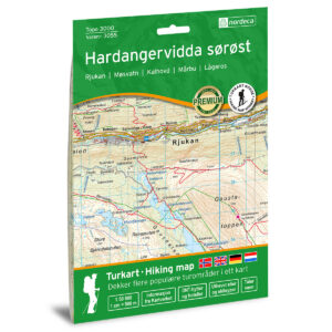
Hardangervidda south east Topo 3000 Turkart
20,66 € Add to cart -
BestsellerIn stock
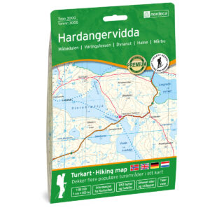
Hardangervidda Topo 3000 Hiking Map
19,90 € Add to cart
Wider coverage, 1:100,000
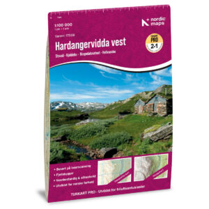
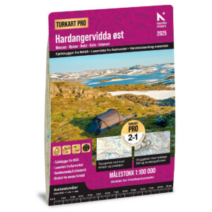
The west and east Pro maps help you plan across larger areas. Check the coverage of both sheets when planning a longer crossing.
Books and guides for your trip
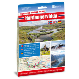
Lonely Planet Norway offers inspiration for the wider journey. Overview and road maps below help with access and onward travel; choose a hiking map with the right coverage for your stages on the plateau.

Road maps for the wider journey
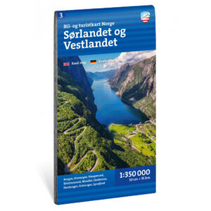
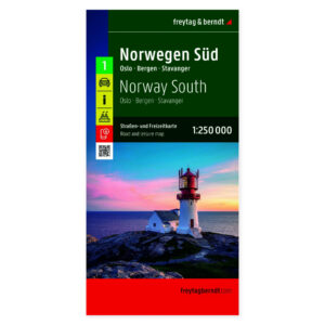
For access roads and onward travel. These maps cover larger regions and complement the hiking maps above.
Before you set off
Make room for a good trip
Check hut opening dates, transport and current conditions before fixing your stages. Make a plan that can adapt to weather and conditions along the way.
A map that covers your whole route
Check the map extent, scale and edition before choosing. Bring a map and compass you know how to use, and consult current local conditions and weather forecasts.
Read the Norwegian Mountain Safety Code →Kartverket N50 – topographic map sheets
Selected map sheets for the area, with formats and materials shown on each product page. Check the map extent. The folded hiking maps above are often more convenient to carry on a walk.
-
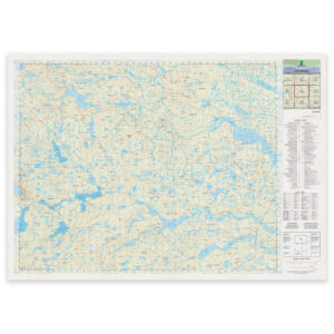
Norwegian Mapping Authority – national map (N50): 08-D Hårteigen
From 30,34 €
Select options -
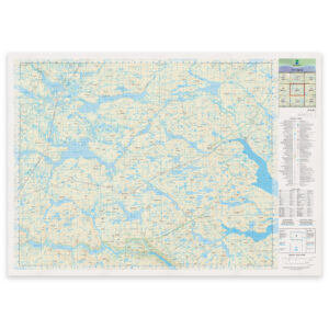
Norwegian Mapping Authority – national map (N50): 08-E Lågaros
From 30,34 €
Select options -
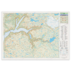
Kartverket – national map (N50): 09-D Eidfjord
From 30,34 €
Select options -
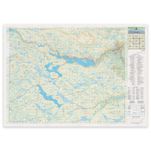
Norwegian Mapping Authority – national map (N50): 09-E Geilo
From 30,34 €
Select options
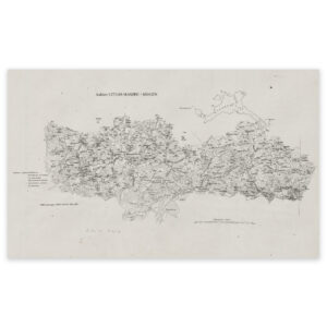
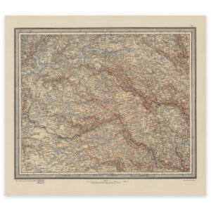
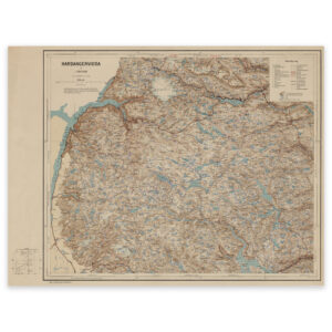
Historical maps for your wall
See the area through older cartography. These reproductions are for decoration and historical interest, rather than present-day route planning.
Where next?