


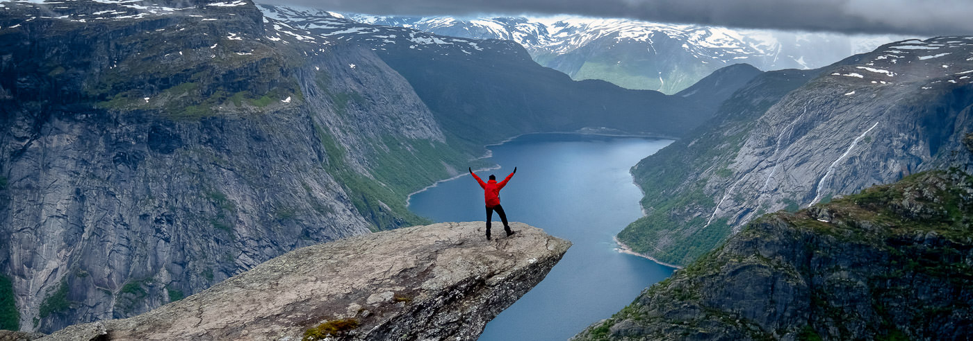
Ringedalsvatnet · Tyssedal · Hardanger
Trolltunga
The distinctive rock ledge above Lake Ringedalsvatnet is one of Hardanger’s celebrated hiking destinations. Find maps covering Trolltunga and western Hardangervidda.
Explore the area
Plan your visit
Trolltunga belongs to a wider mountain landscape east of Tyssedal and Odda. Maps of western Hardangervidda connect the viewpoint with the valleys and uplands beyond, while regional maps help with the journey through Hardanger.
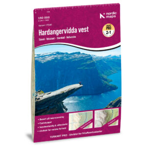
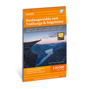
Hiking maps for Trolltunga
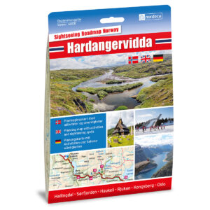
Local detail maps and wider coverage. Compare scale and map extent on the product pages to find the right combination for your itinerary.
Books and guides for your trip
Lonely Planet Norway helps with travel planning and inspiration for a journey through Norway. It does not replace a detailed hiking map or current local advice for Trolltunga.
Road maps for the wider journey
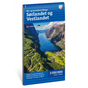
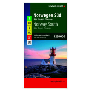
For access roads and onward travel. These maps cover larger regions and complement the hiking maps above.
Before you set off
Make room for a good trip
Check current access, transport and local advice before the hike. Snow, weather and daylight affect planning in this mountain area.
A map that covers your whole route
Check the map extent, scale and edition before choosing. Bring a map and compass you know how to use, and consult current local conditions and weather forecasts.
Read the Norwegian Mountain Safety Code →Kartverket N50 – topographic map sheets
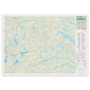
Selected map sheets for the area, with formats and materials shown on each product page. Check the map extent. The folded hiking maps above are often more convenient to carry on a walk.

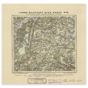
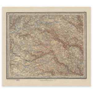
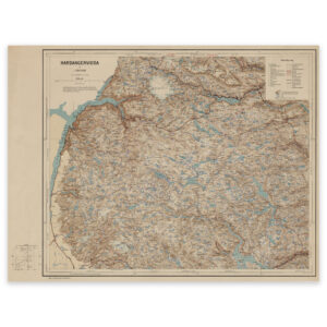
Historical maps for your wall
See the area through older cartography. These reproductions are for decoration and historical interest, rather than present-day route planning.
Where next?