Try our unique service:
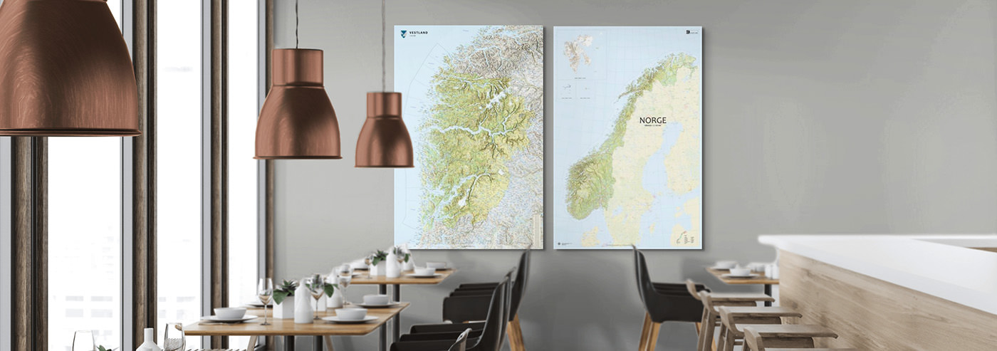
Wall maps from a place you love
At Kart.no, you will find Norway’s largest selection of wall maps – from detailed county maps and classic maps of Norway to historical maps and nautical charts. All maps are produced to order and can be delivered framed, on a board, or as a magnetic whiteboard.
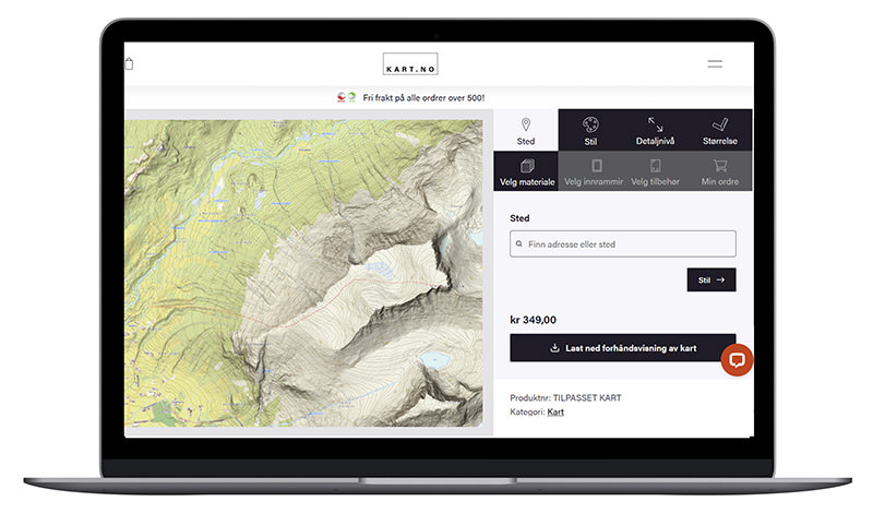
Would you like a map of the exact area you care about most – with the crop, size, and style of your choice?
Maps of Norway and county maps
Get an overview of the entire country – or a county you know particularly well. All maps are produced in five sizes and can be delivered framed, on a board, or as a magnetic whiteboard.
-
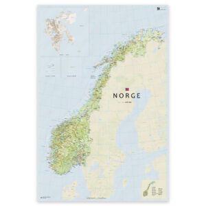
Norway map with updated county boundaries – stylish and detailed wall map
From 0,00 €
Select options -
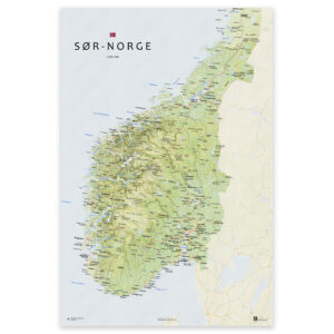
Map of southern Norway – from Agder to Trøndelag
From 0,00 €
Select options -
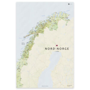
Map of Northern Norway – Nordland, Troms and Finnmark
From 0,00 €
Select options -
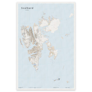
Svalbard – large wall map with Bjørnøya and Jan Mayen
From 0,00 €
Select options -
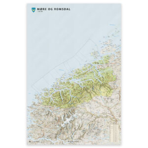
Wall map – Møre og Romsdal county
From 0,00 €
Select options -
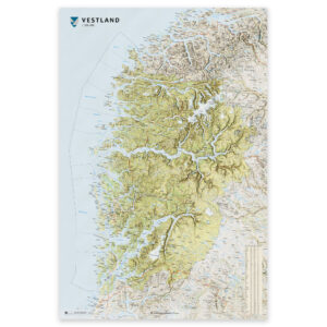
Wall map – Vestland county
From 0,00 €
Select options -
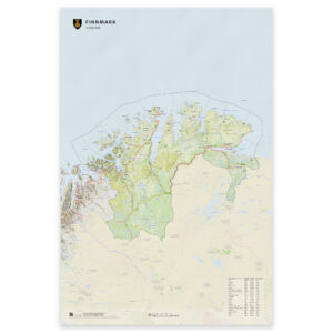
Wall map – Finnmark county
From 0,00 €
Select options -
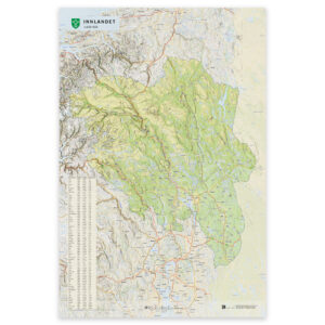
Wall map – Innlandet county
From 0,00 €
Select options
Maps of all 357 Norwegian municipalities
Get an updated map of your municipality – in a size that fits your wall.
-

Wall map – Oppdal municipality
From 0,00 €
Select options -

Wall map – Årdal municipality
From 0,00 €
Select options -

Wall map – Luster municipality
From 0,00 €
Select options -

Wall map – Bjerkreim municipality
From 0,00 €
Select options -

Wall map – Vågan municipality
From 0,00 €
Select options -
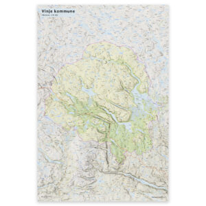
Wall map – Vinje municipality
From 0,00 €
Select options -

Wall map – Vindafjord municipality
From 0,00 €
Select options -
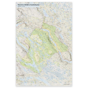
Wall map – Vestre Slidre municipality
From 0,00 €
Select options
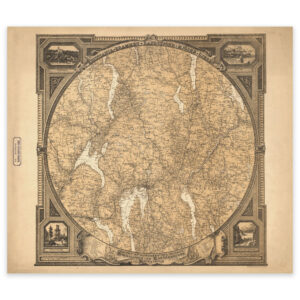
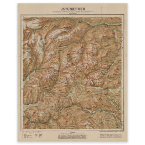
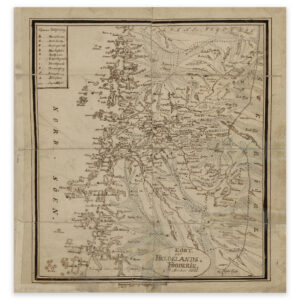
Historical maps
Beautiful, historical maps from several hundred years of Norwegian cartography. Reproduced in high resolution and printed on art paper – ready for the wall.
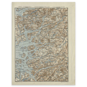
Nautical charts as wall maps
Nautical charts from the Norwegian Mapping Authority are not only useful at sea – they also look great on the wall. All nautical charts can be ordered framed, on a board, or as a whiteboard.
-
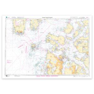
Kartverket nautical chart 016 – Tananger – Stavanger – Skudenes
From 22,78 €
Select options -
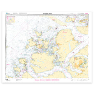
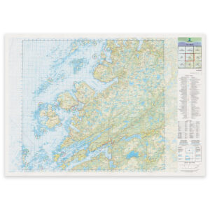
Kartverket nautical chart 021 – Selbjørnsfjorden – Bergen
From 22,78 €
Select options -
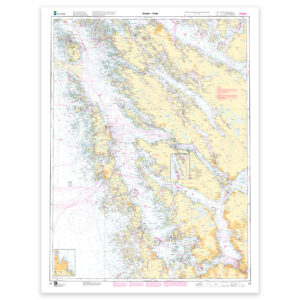
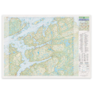
Kartverket nautical chart 030 – Haugsholmen – Ålesund
From 22,78 €
Select options -
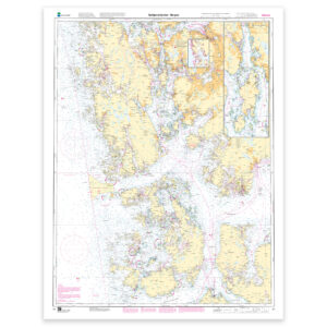
Norwegian Mapping Authority nautical chart 023 – Bergen – Fedje
From 22,78 €
Select options
World map
Stylish and informative world maps – available in several sizes and styles. Perfect for home, office, and educational use.
-
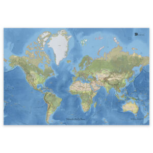
Classic world map with countries and capitals
From 0,00 €
Select options -
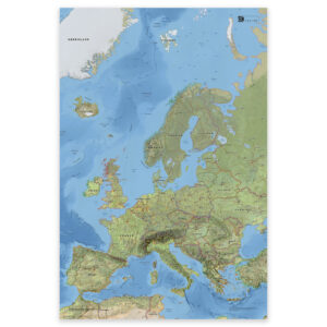
Map of Europe with countries and capitals – classic and detailed wall map
From 0,00 €
Select options -
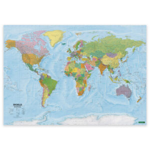
World Map – Political – 137 × 96 cm – Freytag & Berndt
Fra 59,39 € Select options This product has multiple variants. The options may be chosen on the product page -
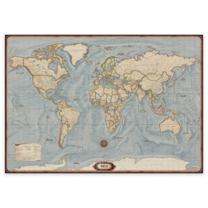
World map in antique style – 137.5 × 96 cm
Fra 59,39 € Select options This product has multiple variants. The options may be chosen on the product page
The Norwegian Mapping Authority’s new land maps
After 25 years, the Norwegian Mapping Authority has launched a brand new map series! Updated design, modern symbology, and new boundary divisions – ready for the wall.
-
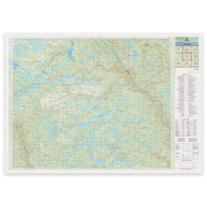
Norwegian Mapping Authority – national map (N50): 10-G Bagn
From 29,51 €
Select options -
Norwegian Mapping Authority – national map (N50): 40-H Iešjávri
From 29,51 €
Select options -
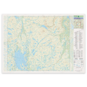
Kartverket – national map (N50): 21-C Åfjord
From 29,51 €
Select options -
Kartverket – national map (N50): 19-C Snillfjord
From 29,51 €
Select options