-
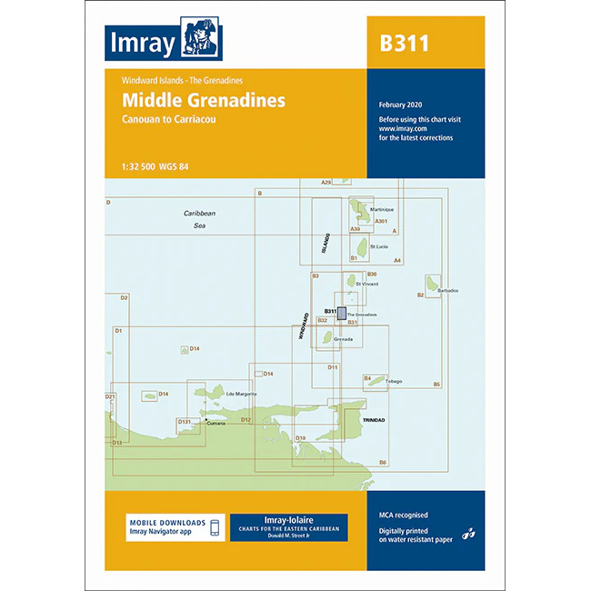
Middle Grenadines – Imray B311
Detailed Imray boating map of the Middle Grenadines sailing area in Caribbean.
-
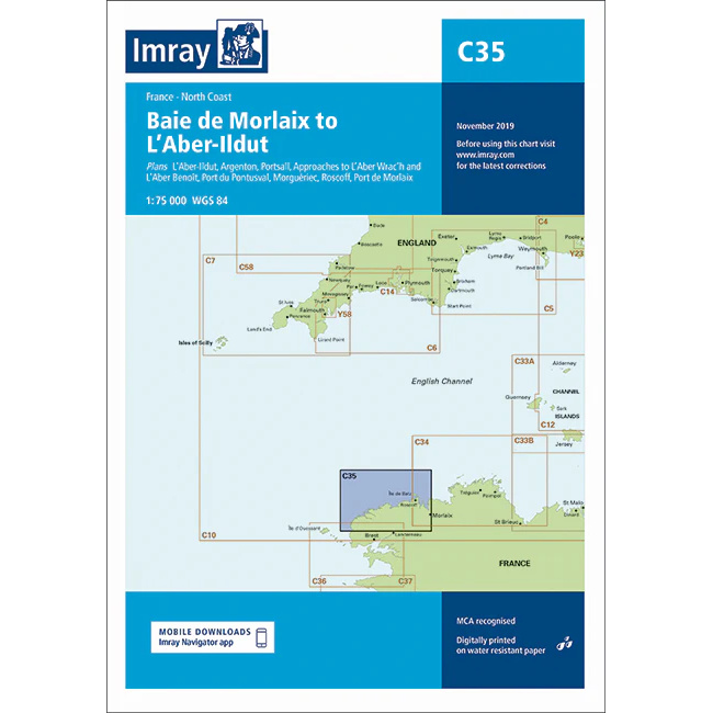
Morlaix Bay to L’Aber-Ildut – Imray C35
Detailed Imray boating map for the north coast of Brittany from Baie de Morlaix to L’Aber-Ildut.
-
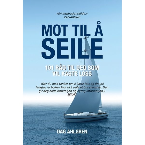
Mot til å seile – 101 råd til deg som vil kaste loss
Inspirerende bok med 101 råd for deg som vurderer å kaste loss og leve seildrømmen.
-
Motorboat Logbook
Practical logbook for motorboats with space for trip data, fuel, engine hours, and notes.
-
Nautical Almanac 2025 – Commercial Edition (US)
Nautical Almanac 2025 – Commercial Edition (US) is the official annual nautical almanac for professional and advanced navigation. The publication contains precise astronomical data for the sun, moon, planets and stars, and is used for celestial navigation at sea. This is the US commercial edition, published by the Nautical Almanac Office and distributed in Europe…
-
Nautical Almanac 2026 – Commercial Edition (US)
Nautical Almanac 2025 – Commercial Edition (US) is the official annual nautical almanac for professional and advanced navigation. The publication contains precise astronomical data for the sun, moon, planets and stars, and is used for celestial navigation at sea. This is the US commercial edition, published by the Nautical Almanac Office and distributed in Europe…
-
NAVTEX Manual, 2023 Edition – IMO IH982E
Official IMO manual describing the regulations and operational use of the Global Maritime Distress and Safety System (GMDSS) for maritime distress and safety communication.
-

New as crew in the boat
A simple and practical guide for those new to boat crewing – basic skills, safety and routines on board.
-
Night Order Book Bridge/Engine
Night Order Book for the Captain’s and Chief Engineer’s instructions. A4 • English
-
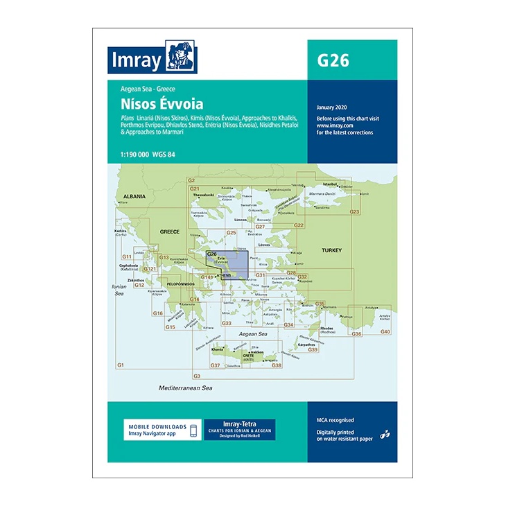
Nísos Évvoia – Imray G26
This overview chart from Imray covers Evvoia (Evia ) – Greece’s second largest island – and adjacent waters in the central Aegean. The map provides a good regional overview of a complex sailing area with narrow straits, strong currents and important connections between the Greek mainland and the Cyclades. The map includes plan views and…
-
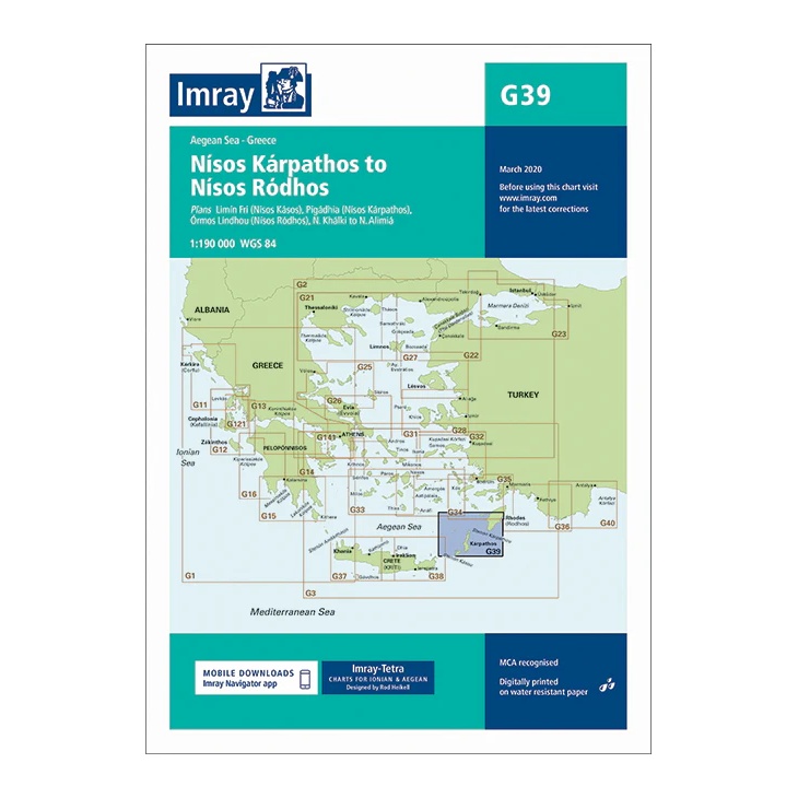
Nísos Kárpathos to Nísos Ródhos – Imray G39
Overview map covering the sailing area between Kárpathos and Ródhos in the Aegean Sea. Suitable for route planning and general navigation in southeastern Greece.
-
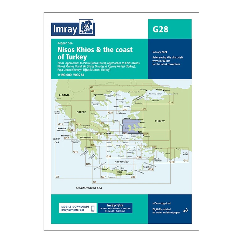
Nísos Khíos & the Coast of Turkey – Imray G28
Overview map covering Khíos and the nearby Turkish coast. Suitable for route planning and overall navigation in the Aegean Sea.
-
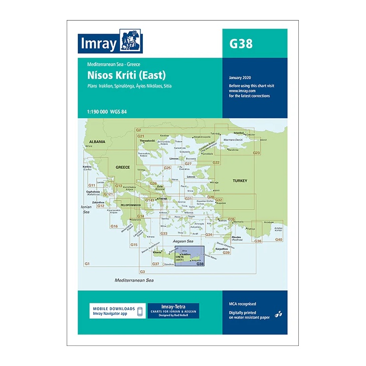
Nísos Kríti (East) – Imray G38
Overview map covering the east coast of Crete with approaches to key ports. Suitable for route planning and overall navigation in the Aegean Sea.
-
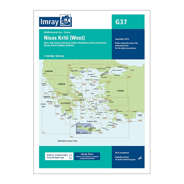
Nísos Kríti (West) – Imray G37
Overview map covering the west coast of Crete with approaches to key ports. Suitable for route planning and overall navigation in the Aegean Sea.
-
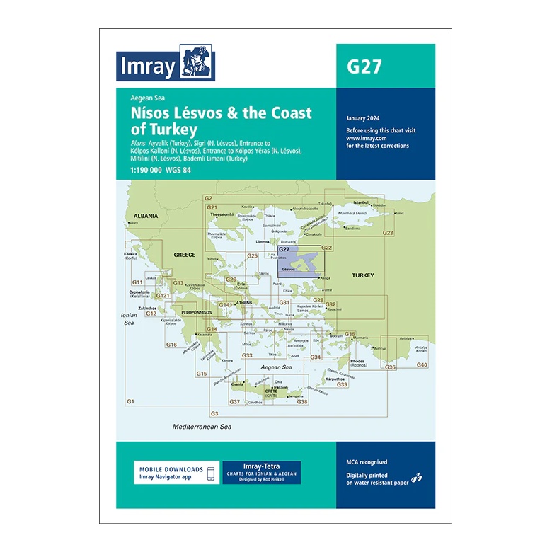
Nísos Lésvos & the Coast of Turkey – Imray G27
Overview map covering Lésvos and the nearby Turkish coast. Suitable for route planning and overall navigation in the Aegean Sea.
-
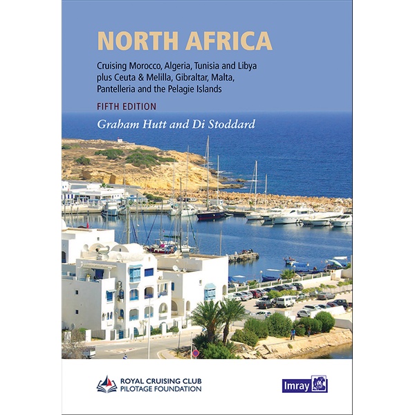
North Africa
Pilot book for sailing along the Mediterranean coast of North Africa, covering Morocco, Algeria, Tunisia and Libya, as well as the Gibraltar area and adjacent islands.
-
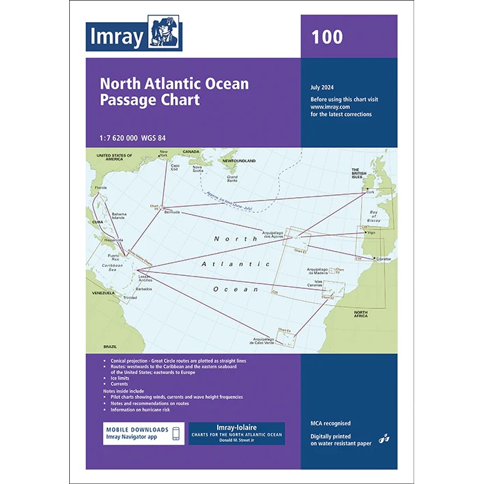
North Atlantic Ocean – Imray 100
Overview and passage charts from Imray for voyage planning across the North Atlantic.
-
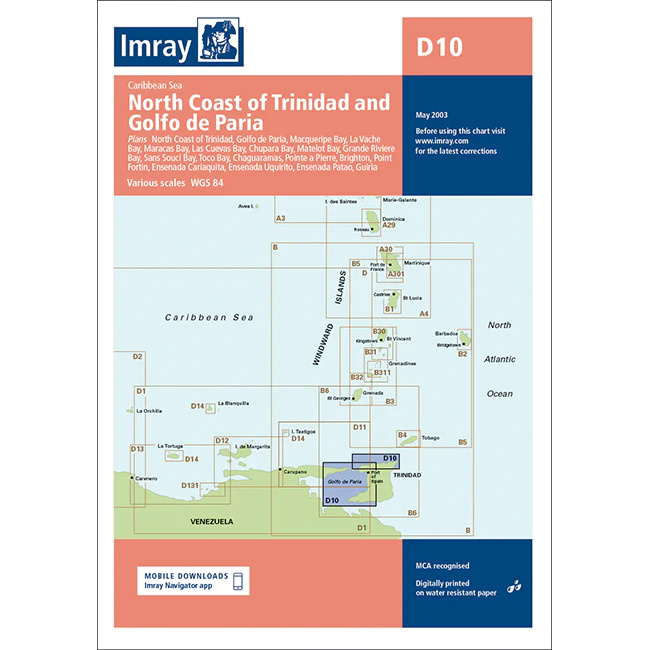
North Coast of Trinidad & Golfo de Paria – Imray D10
Overview map from Imray covering the north coast of Trinidad and Golfo de Paria, designed for sailing in the Caribbean.
-
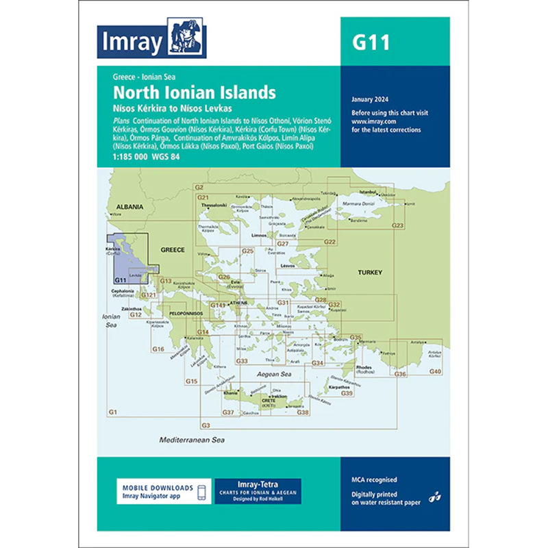
North Ionian Islands – Imray G11
Detailed Imray boating map for the Northern Ionian Islands in Greece. The chart provides a good overview of the waters, harbors and anchorages around Corfu, Paxos and the Greek mainland, and is ideal for leisure sailing and cruising.
-
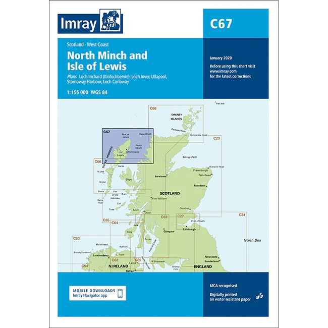
North Minch & Isle of Lewis – Imray C67
Overview map from Imray covering North Minch and Isle of Lewis, developed for sailing along the west coast of Scotland.