-
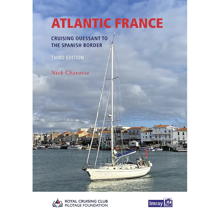
Atlantic France
Pilot book for sailing along the Atlantic coast of France, from Ouessant to the Spanish border, with detailed port descriptions and sailing advice.
-
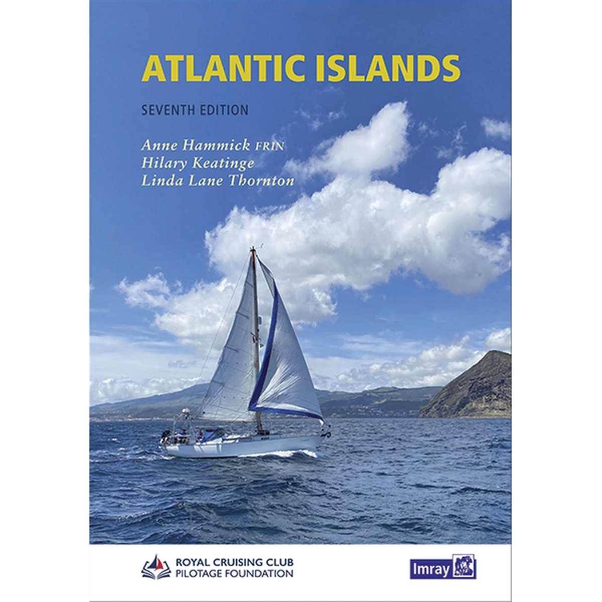
Atlantic Islands – Azores, Madeira, Canary and Cape Verde Is
An authoritative pilot book for sailing to and between the archipelagos of the Atlantic Ocean, including the Azores, Madeira, Canary Islands and Cape Verde. A key reference work for long-distance sailors.
-
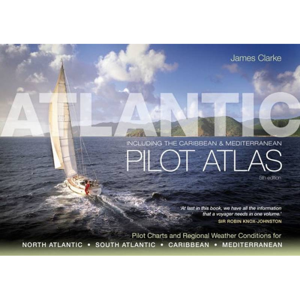
Atlantic Pilot Atlas
The Atlantic Pilot Atlas is a unique and extremely useful reference work for long-distance sailors and ocean cruisers. The book brings together pilot charts, route recommendations and regional weather and climate data for both the North and South Atlantic, the Caribbean and the Mediterranean, providing sailors with a comprehensive basis for planning long ocean voyages.…
-
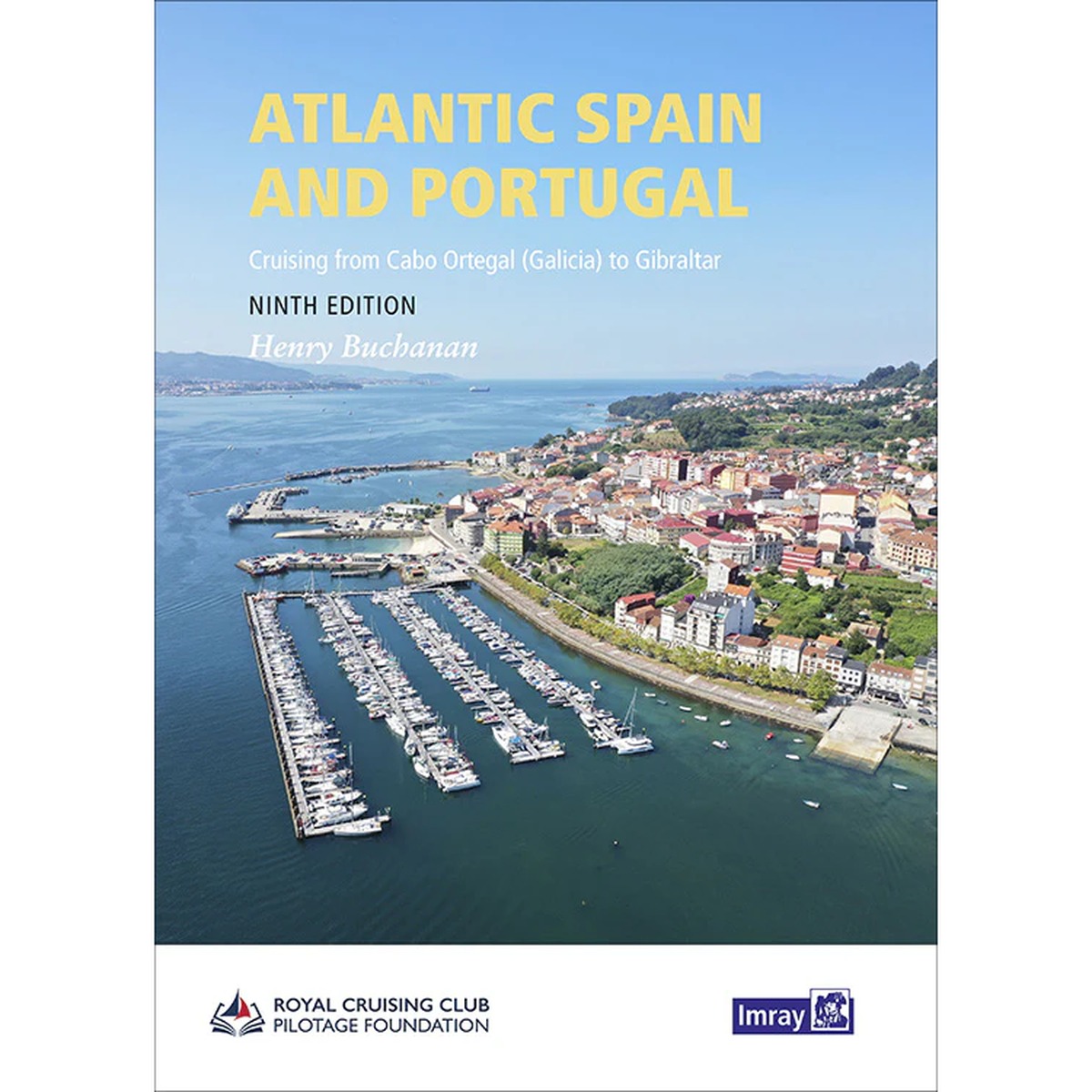
Atlantic Spain and Portugal
An authoritative pilot book for sailing along the Atlantic coast of Spain and Portugal – from Galicia to Gibraltar. The book provides detailed and up-to-date guidance for ports, anchorages and challenging coastal waters.
-
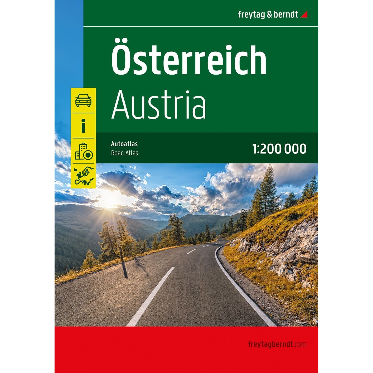
Austria – large car atlas (multilingual)
Detailed car atlas of Austria with city maps and tourist information. A useful tool for planning and carrying out car and motorhome trips.
-
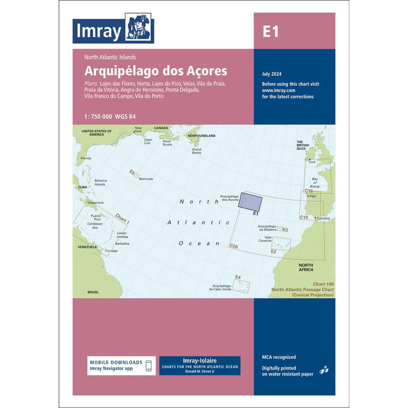
Azores – Imray E1
Overview map from Imray covering the Azores, designed for sailing and route planning in the North Atlantic.
-
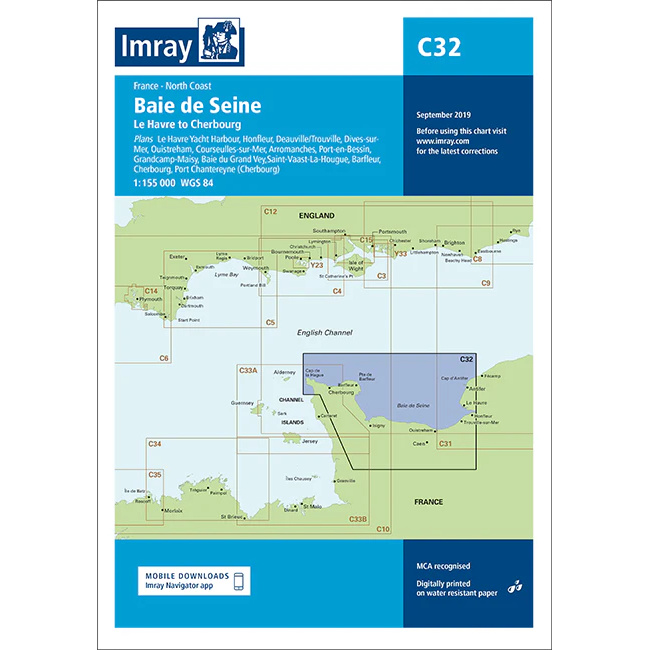
Baie de Seine – Imray C32
Detailed Imray boating map for Baie de Seine and the Normandy coast in France.
-
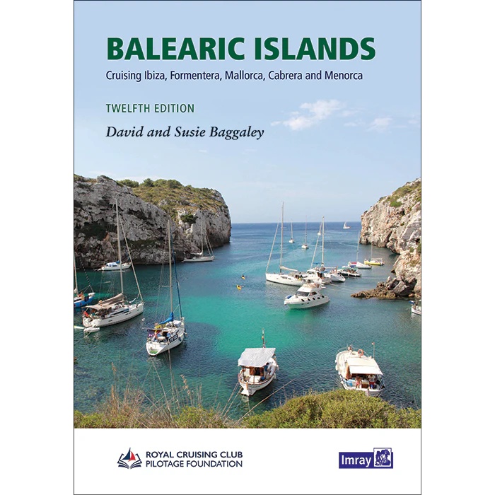
Balearic Islands
Comprehensive pilot book for sailing around the Balearic Islands, including Ibiza, Formentera, Mallorca, Cabrera and Menorca.
-
Ballast Water Record Book (inc. 2025 Regulations)
Ballast Water Record Book per BWM Convention 2004 and 2025 IMO regulations.
-
Baltic Sea and Approaches
Comprehensive pilot book for sailing in the Baltic Sea and adjacent approaches, with an overview of routes, ports and sailing conditions throughout the region.
-
Barbados – Imray B2
Detailed Imray boating map for Barbados with harbors, marinas and coastal sailing areas.
-

Barbuda – Imray A26
Detailed boating map from Imray for sailing and navigating around Barbuda.
-
Barcelona to Bouches du Rhône – Imray M14
Overview map covering the coastline from Barcelona to Bouches du Rhône. Suitable for route planning and general navigation in the Western Mediterranean.
-
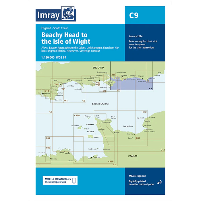
Beachy Head to Isle of Wight – Imray C9
Nautical chart from Imray covering Beachy Head to Isle of Wight, adapted for sailing along the southern English Channel.
-
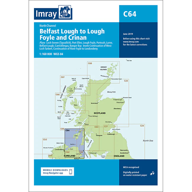
Belfast Lough to Lough Foyle & Crinan – Imray C64
Overview map from Imray covering Belfast Lough, Lough Foyle and North Channel towards Crinan.
-

Bell Book Engine or Bridge (Black)
Engine and Bridge Bell Book in a black cover. For recording maneuvering and engine orders.
-
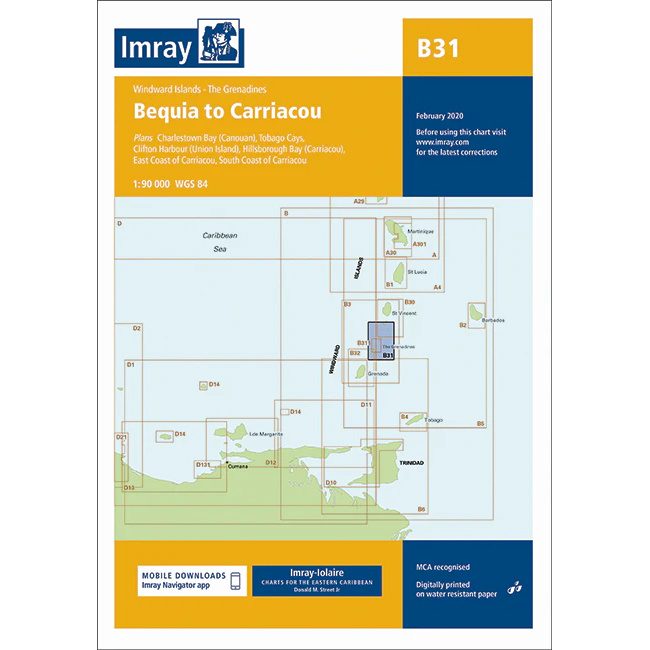
Bequia to Carriacou – Imray B31
Detailed Imray boating map of the sailing area between Bequia and Carriacou in Grenadines.
-
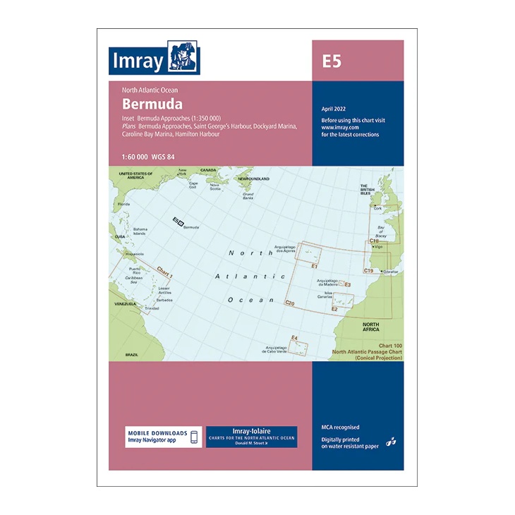
Bermuda – Imray E5
Detailed and clear Imray boating map for Bermuda, with inlets, harbors and marinas. Printed on water-resistant paper.
-
Biofouling Record Book
Record book for registration of biofouling in accordance with IMO MEPC.207 (62).
-

Boat maintenance – in brief
Practical pocket guide to boat maintenance with over 400 illustrations – simple advice for sailboats and motorboats. Hull, leaks, rudder system, winches and rigging – Toilet, pumps, gas and fresh water systems Pat Manley is an engineer and has been a boat owner for decades. He has written a number of manuals on the more…