-
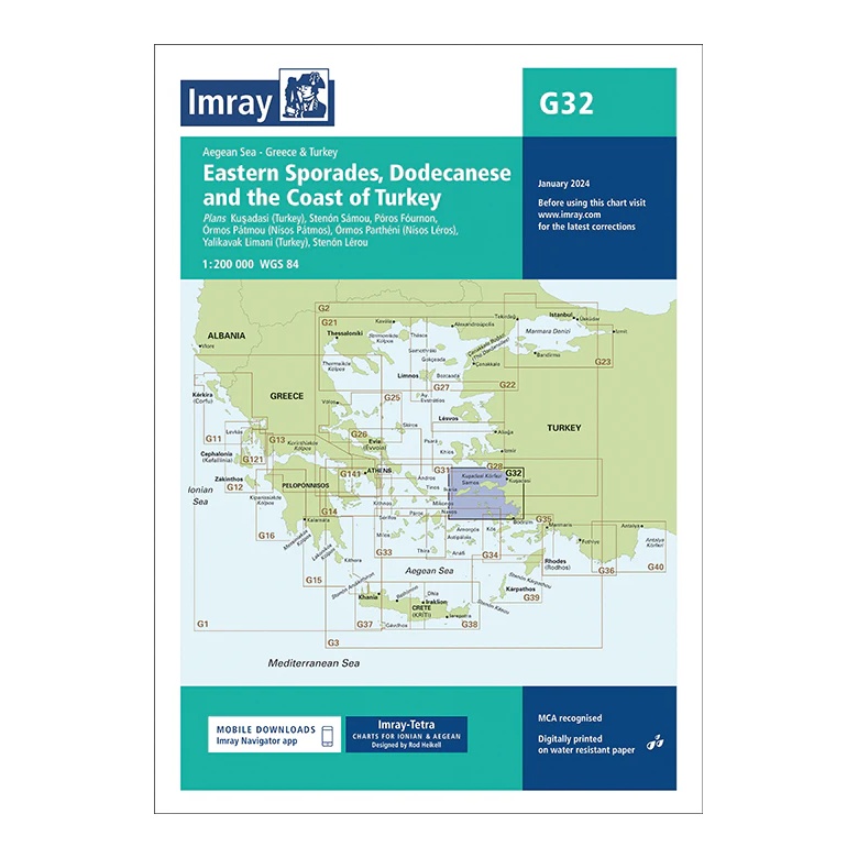
Eastern Sporades, Dodecanese and the Coast of Turkey – Imray G32
Overview map covering the eastern Sporades, parts of the Dodecanese and the Turkish coast. Suitable for route planning and general navigation in the Aegean Sea.
-
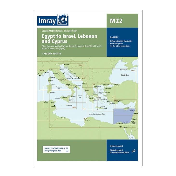
Egypt to Israel, Lebanon and Cyprus – Imray M22
Passage chart covering the sailing area from Egypt to Israel, Lebanon and Cyprus. Suitable for route planning and overall navigation in the Eastern Mediterranean.
-

Electricity in the boat
Practical guide to boat electrical systems – batteries, charging, shore power and troubleshooting explained in an understandable way.
-
Engine Log Book NIS – Landscape A4
Engine Log Book for NIS vessels. Landscape format A4. Detailed logbook for the engine room.
-
Engine Log Book NIS – Portrait A4
Engine Log Book for NIS vessels. A4 Portrait format. For recording operations and maintenance.
-

Engine Logbook NOR – Giertsen
Official engine logbook for vessels registered in NOR.
-
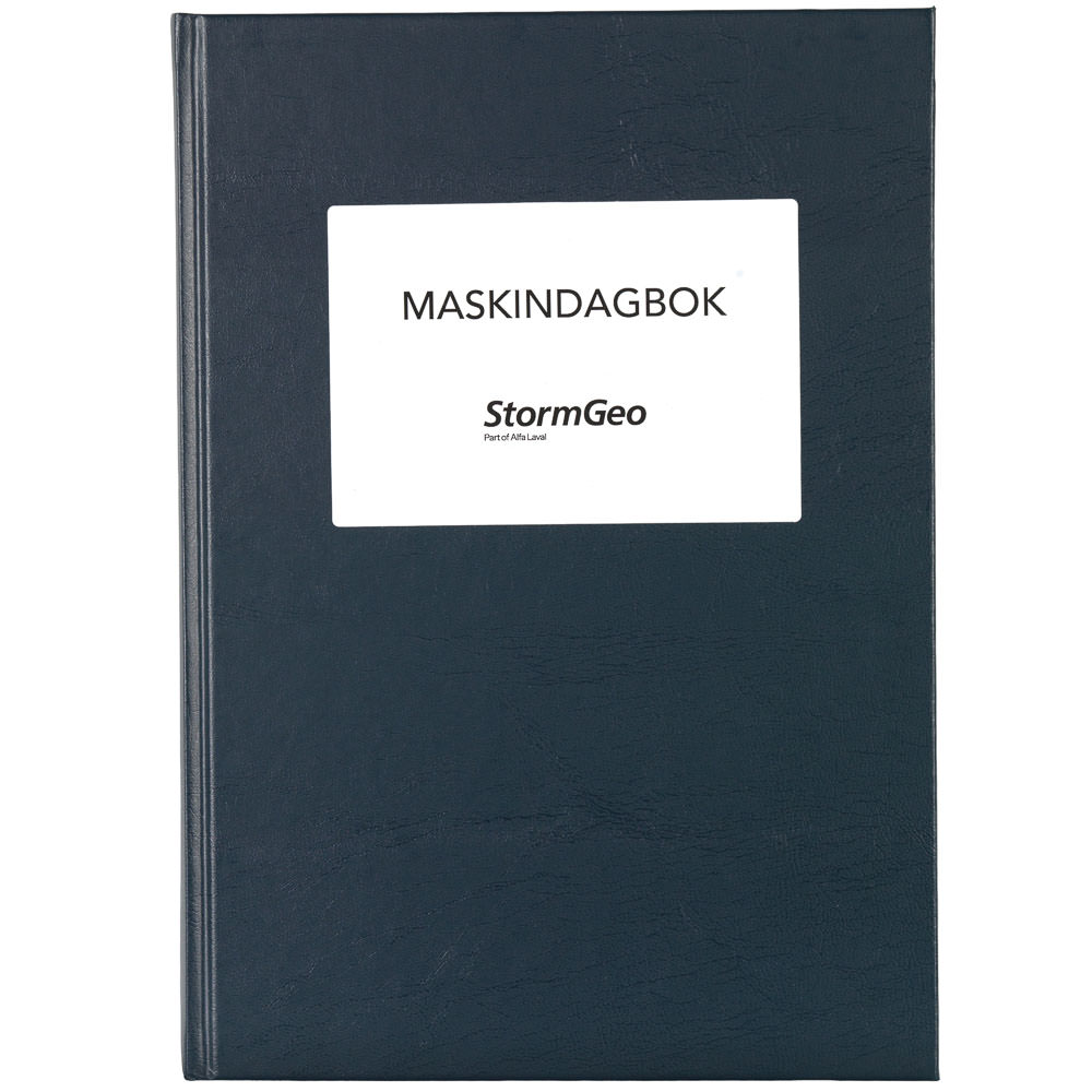
Engine Logbook NOR – StormGeo – Portrait A4
Engine Logbook NOR from StormGeo with black cover – approved by the Norwegian Maritime Authority for use on board vessels registered in NOR. Suitable for systematic recording of operations, service and engine events, with practical and clear layout for professional maritime use.
-
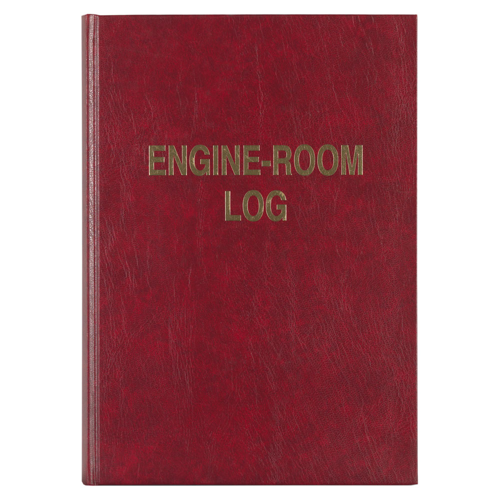
Engine-Room Log Book – Giertsen Forlag
Engine-room log book from Giertsen Forlag, an English-language edition of the Norwegian engine logbook. Used for daily recording of operations, maintenance, events, and deviations in engine rooms and technical installations. Approved for use on board vessels where English logging is required or preferred.
-
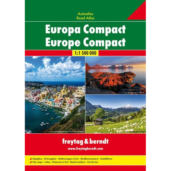
Europe – compact car atlas (multilingual)
This compact car atlas of Europe from freytag & berndt is designed for travelers who want a clear and practical atlas in a handy format, without sacrificing map quality or level of detail. The atlas covers the whole of Europe at a scale of 1:1,500,000 and is suitable for both planning and use on longer…
-
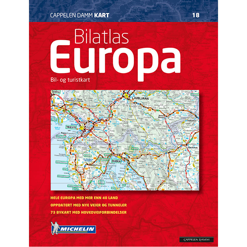
Europe – large car atlas
Comprehensive car atlas of Europe with 346 pages of spiral bound maps based on Michelin cartography. Detailed road maps, city center maps for 78 cities, traffic tables and large index – developed especially for car tourists.
-
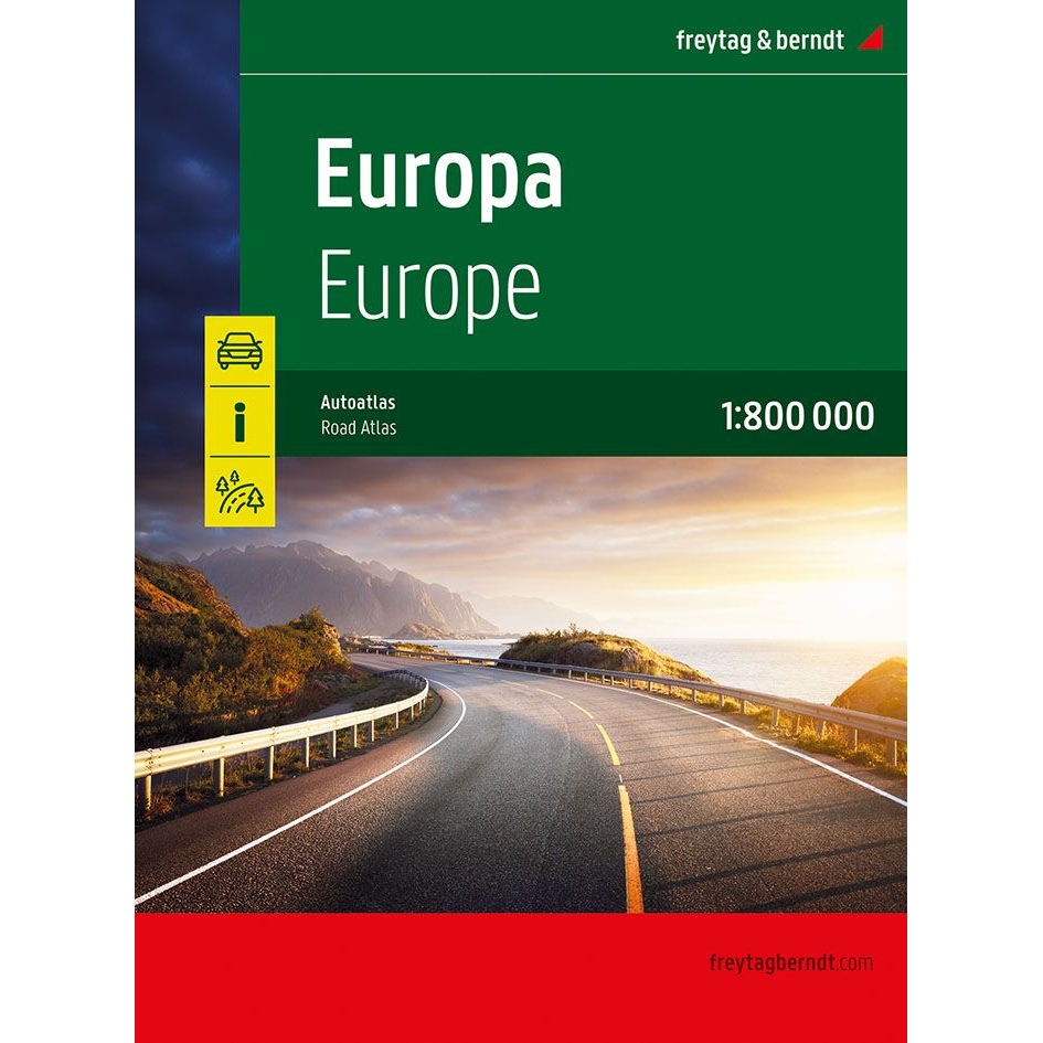
Europe – large car atlas (multilingual edition)
Detailed and clear car atlas for Europe at a scale of 1:800,000. Spiral-bound atlas with campsites, gazetteer and tourist information – ideal for car and motorhome travel.
-
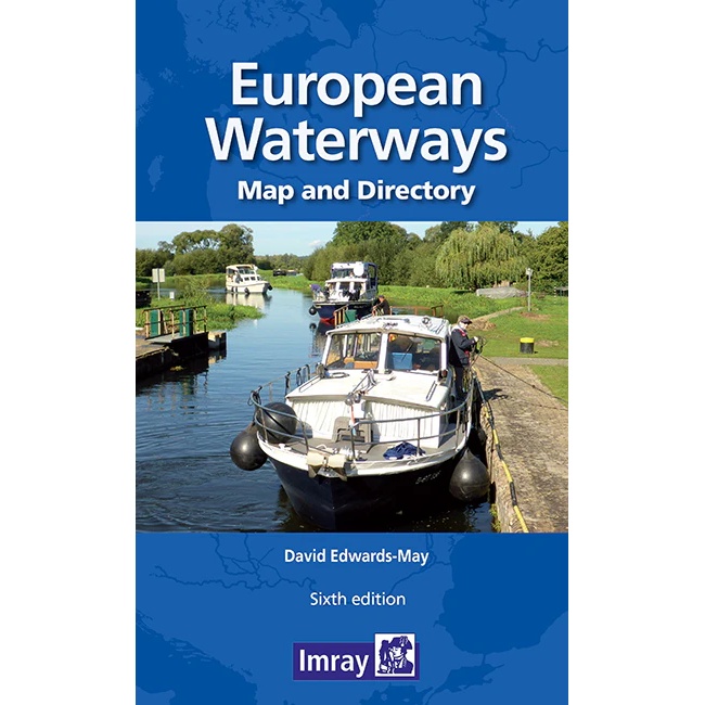
European Waterways – Map and Directory
European Waterways – Map and Directory is a combined map and directory that provides a comprehensive overview of Europe’s inland waterways. Covering an extensive network of canals, rivers and interconnected routes across European countries, the publication gives the user a clear picture of how waterway systems are interconnected. The map provides a visual overview of…
-
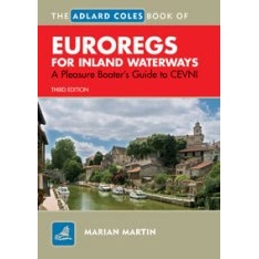
EuroRegs for Inland Waterways
EuroRegs for Inland Waterways is a practical and easy-to-understand guide to the European Code for Inland Waterways (CEVNI) for recreational boaters. The book explains waterway rules, signage, signals, markings, lock and tunnel procedures, giving way, mooring and navigational aids such as lights and flags, and is approved for use on board small vessels in Europe.
-
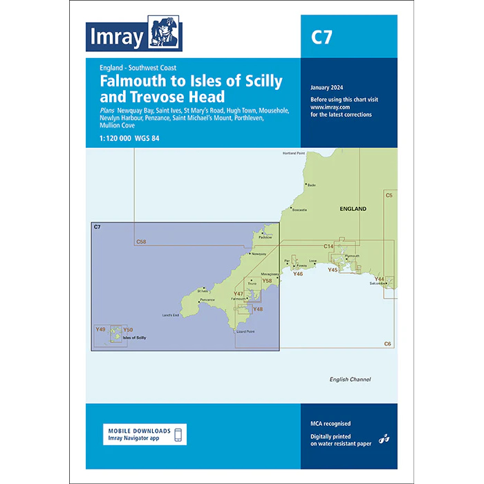
Falmouth to Isles of Scilly & Trevose Head – Imray C7
Detailed boating map from Imray covering Falmouth, the Isles of Scilly and Trevose Head along the south west coast of England.
-
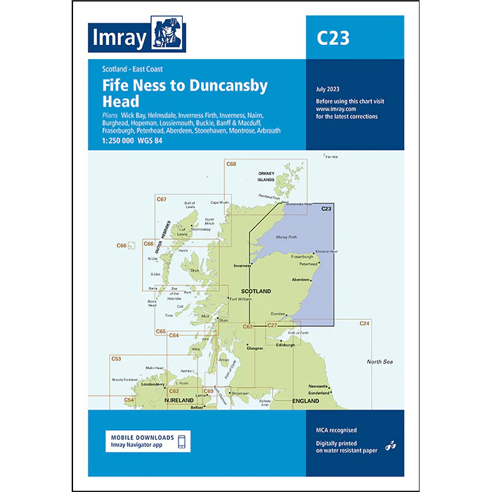
Fife Ness to Duncansby Head – Imray C23
Detailed Imray boating map for the east coast of Scotland from Fife Ness to Duncansby Head.
-

First aid in the boat
A practical and easily accessible first aid guide for boating. Boating First Aid provides concrete advice for dealing with accidents and emergencies on board – from drowning and bleeding to hypothermia and head injuries.
-
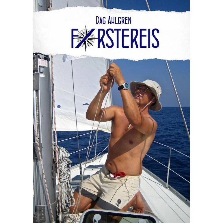
First trip
A personal and inspiring book about taking your first steps as a sailor and experiencing life at sea for the first time.
-
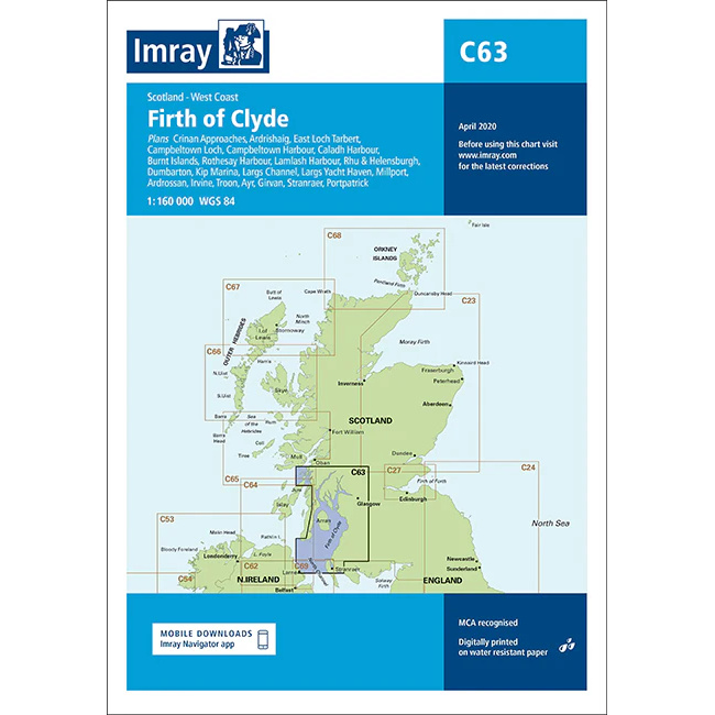
Firth of Clyde – Imray C63
Overview map from Imray covering the Firth of Clyde, developed for sailing on the west coast of Scotland.
-
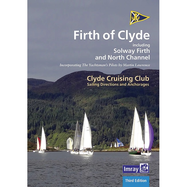
Firth of Clyde – Sailing Directions and Anchorages
Firth of Clyde – Sailing Directions and Anchorages is a detailed and practical sailing guide for the Firth of Clyde area, including the Solway Firth and North Channel. The book is published by Clyde Cruising Club in association with Imray and is based on The Yachtsman’s Pilots by Martin Lawrence. It provides in-depth descriptions of…
-
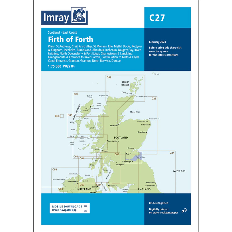
Firth of Forth – Imray C27
Detailed Imray boating map for the Firth of Forth on the east coast of Scotland.