NV Charts

  • Mockup of NV Charts France FR8 nautical charts for Oléron to San Sebastián & Bordeaux

    NV Charts France FR8 Oleron-San Sebastián & Bordeaux

    82,19 
    Add to cart
  • Mockup av NV Charts France FR9 sjøkart for Cabo Creus til Toulon

    NV Charts France FR9 Cabo Creus-Toulon

    82,19 
    Add to cart
  • Mockup av NV Charts Greece GR1 sjøkart for Ioniske øyer, Peloponnes og Albanias kyst

    NV Charts Greece GR1 Ionian Islands & Peloponnese to Albania

    82,19 
    Add to cart
  • Mockup av NV Charts Greece GR2 sjøkart for Cyclades til Kreta og Athen

    NV Charts Greece GR2 Cyclades to Crete & Athens

    82,19 
    Add to cart
  • Mockup av NV Charts Italy IT1 sjøkart for Menton til Elba

    NV Charts Italy IT1 Menton-Elba

    82,19 
    Add to cart
  • Mockup av NV Charts Italy IT2 sjøkart for Elba til Napoli

    NV Charts Italy IT2 Elba-Naples

    82,19 
    Add to cart
  • Mockup of NV Charts Italy IT3 chart for the east coast of Sardinia

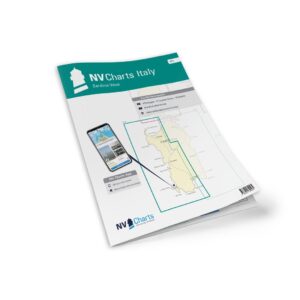
    NV Charts Italy IT3 Sardinia East

    82,19 
    Add to cart
  • Mockup av NV Charts Italy IT4 sjøkart for Sardinias vestkyst

    NV Charts Italy IT4 Sardinia West

    82,19 
    Add to cart
  • Nautical chart atlas for Borkum to Oostende from NV Charts

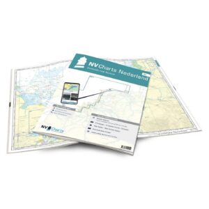
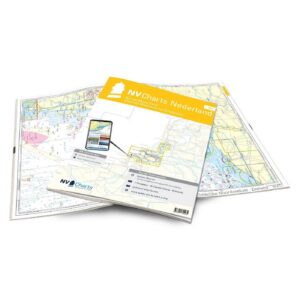
    NV Charts NL1 Netherlands – Waterkaart Borkum til Oostende

    82,19 
    Add to cart
  • Nautical chart atlas for Wadden Sea from NV Charts

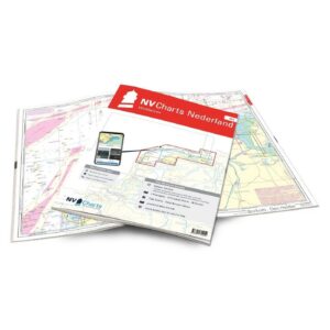
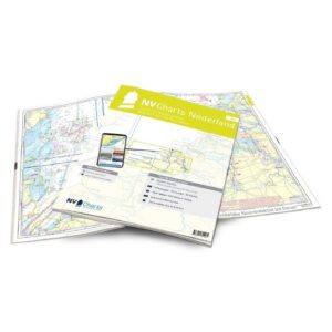
    NV Charts NL2 Netherlands – Water map Wadden Sea

    82,19 
    Add to cart
  • Nautical chart atlas for IJsselmeer and Randmeren from NV Charts

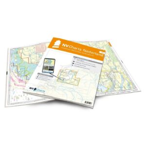
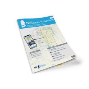
    NV Charts NL3 Netherlands – Water map IJsselmeer & Randmeren

    82,19 
    Add to cart
  • Nautical chart atlas for the Rhine and Meuse delta from NV Charts

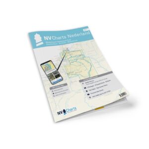
    NV Charts NL4 Netherlands – Water map Rhine & Meuse Delta

    82,19 
    Add to cart
  • Nautical chart atlas for Oosterschelde and Westerschelde from NV Charts

    NV Charts NL5 Netherlands – Watermap Eastern & Western Scheldt

    82,19 
    Add to cart
  • Mockup of NV Charts NL6 nautical charts for Waterkaart Nederland Noord (Friesland-Arnhem), combi paper and digital

    NV Charts NL6 Netherlands – Water map Netherlands North

    82,19 
    Add to cart
  • Mockup av NV Charts NL7 sjøkart for Waterkaart Nederland Zuid (Arnhem–Maastricht), kombi papir og digital

    NV Charts NL7 Netherlands – Water map Netherlands South

    82,19 
    Add to cart
  • Mockup of NV Chart's NO1 nautical chart for the Oslofjord from Oslo to Tønsberg, combined paper and digital

    NV Charts NO1 Oslo-Tønsberg

    92,42 
    Add to cart
  • Mockup of NV Charts NO2 nautical charts for Oslofjord South from the Swedish border to Kragerø, combined paper and digital

    NV Charts NO2 Oslofjord South

    92,42 
    Add to cart
  • Mockup of NV Charts NO3 nautical charts for southern Norway east from Kragerø to Kristiansand, combined paper and digital

    NV Charts NO3 Southern Norway East

    92,42 
    Add to cart
  • Mockup of NV Charts NO4 nautical charts for Southern Norway west from Flekkefjord to Kristiansand, combi paper and digital

    NV Charts NO4 Southern Norway West

    92,42 
    Add to cart
  • Mockup av NV Charts NO5 sjøkart for Sørvestlandet fra Flekkefjord til Stavanger, kombi papir og digital

    NV Charts NO5 Southwest Norway

    92,42 
    Add to cart