-
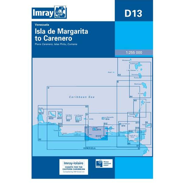
Isla de Margarita to Carenero – Imray D13
Overview map from Imray covering the coast from Isla de Margarita to Carenero, designed for sailing in the Caribbean.
-
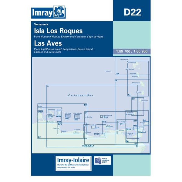
Isla Los Roques & Las Aves – Imray D22
Overview map from Imray covering Isla Los Roques and Las Aves, designed for sailing and route planning in Caribbean.
-
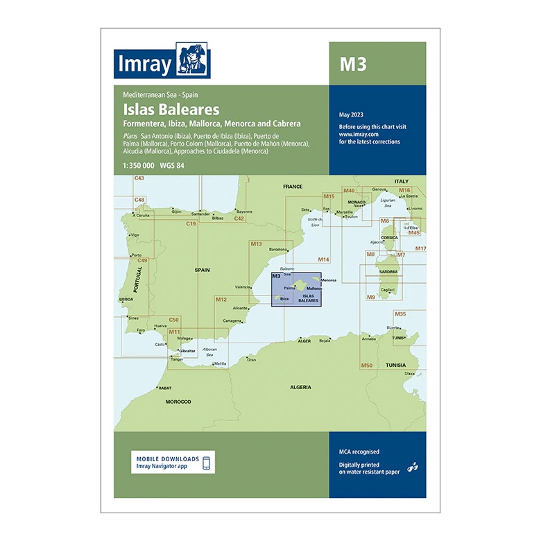
Islas Baleares – Imray M3
Overview map covering the Balearic Islands in the Western Mediterranean, including Mallorca, Menorca, Ibiza and Formentera. Suitable for route planning and general navigation in the area.
-
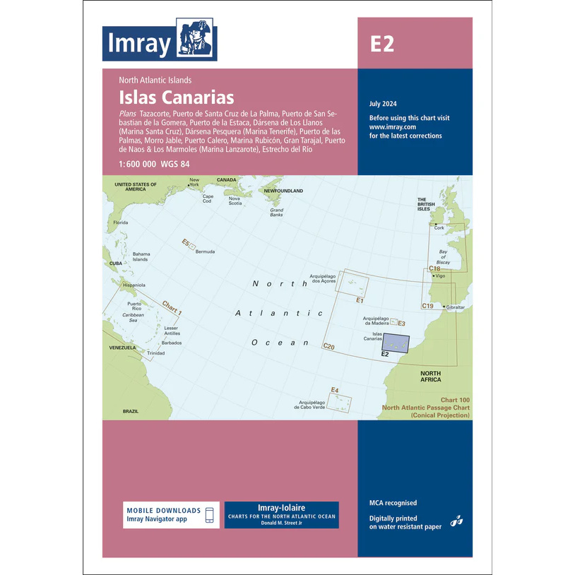
Islas Canarias – Imray E2
Overview map from Imray covering the Canary Islands, adapted for sailing and route planning in the North Atlantic.
-
Islas Los Testigos, Isla La Tortuga & La Blanquilla – Imray D14
Overview map from Imray covering Islas Los Testigos, Isla La Tortuga and La Blanquilla, developed for sailing in the Caribbean.
-
Isle of Man – Imray Y70
Detailed boating map for the Isle of Man and nearby waters in the Irish Sea. The map covers Douglas, Ramsey, Peel, Castletown and Calf Sound, and is suitable for both sailing and power boating.
-
Isle of Wight – Imray C3
Detailed Imray boating map for the Isle of Wight and Solent along the south coast of England.
-
Isles of Scilly
Pilot book for sailing around the Isles of Scilly, with detailed descriptions of ports, anchorages and navigational conditions in one of Britain’s most distinctive sailing areas.
-

ISM Code with Guidelines, 2018 Edition – IMO ID117E
Official IMO publication containing the International Safety Management (ISM) Code as well as guidelines for the implementation of safety management systems in shipping companies and on board ships.
-
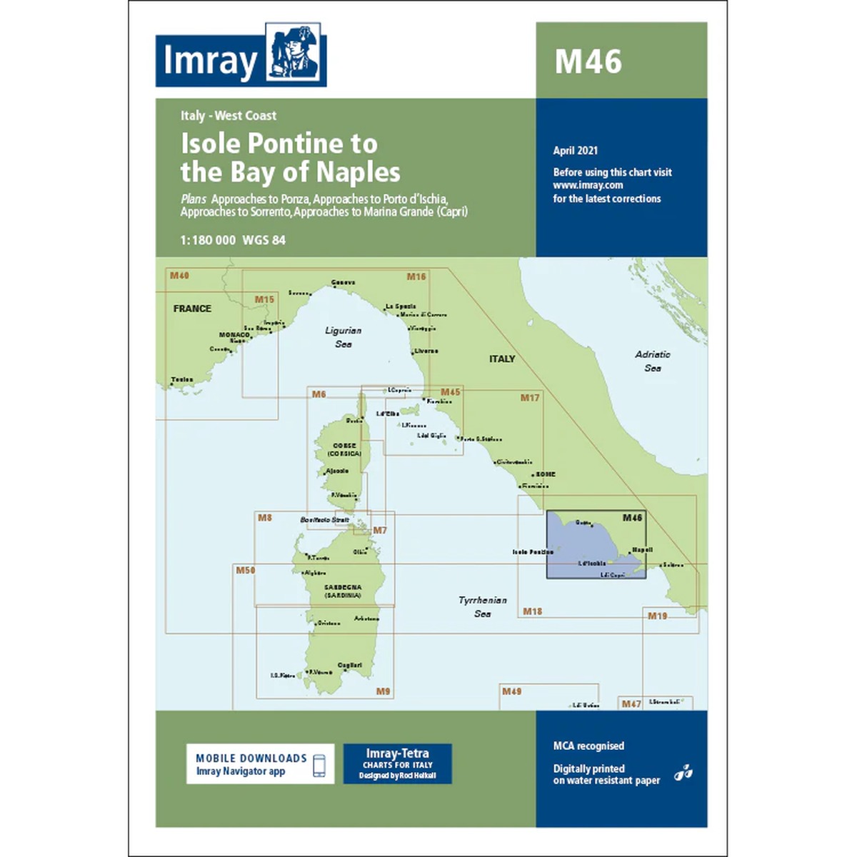
Isole Pontine to the Bay of Naples – Imray M46
Detailed boating map for the west coast of Italy, covering Isole Pontine, Ischia, Capri and the Gulf of Naples. The map is well suited for sailing and powerboating in a busy Mediterranean area.
-

ISPS Code – Guide to Maritime Security (2021 Edition) – IMO IB116E
Official IMO publication containing the International Ship and Port Facility Security (ISPS) Code as well as guidance for the implementation of maritime security. The 2021 edition provides an updated reference work for shipping companies, port facilities, and authorities working with maritime security.
-
Italia – large car atlas (multilingual)
Large and detailed car atlas of Italy, designed for planning and driving vacations. The atlas covers the entire country and contains clear road maps, city maps, tourist information and camping and motorhome sites.
-

Italian Waters Pilot
Comprehensive pilot book for sailing along Italy’s western and southern coasts, including the islands of Sardinia, Sicily and Malta.
-
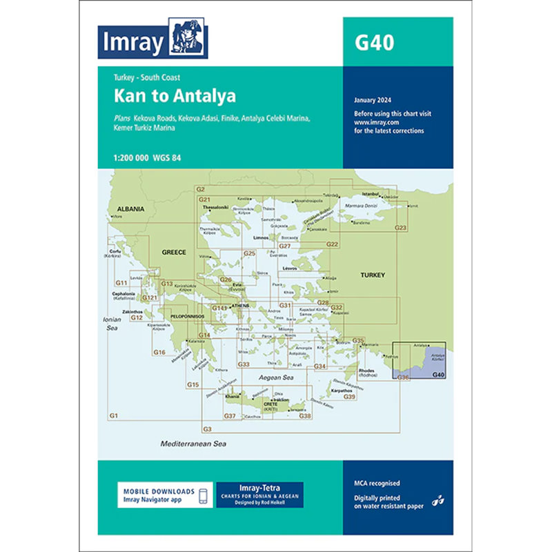
Kas to Antalya – Imray G40
Detailed Imray boating map for the sailing area along the south coast of Turkey from Kaş to Antalya. Providing an overview of waters, ports and anchorages, the map is ideal for cruising in the Eastern Mediterranean.
-
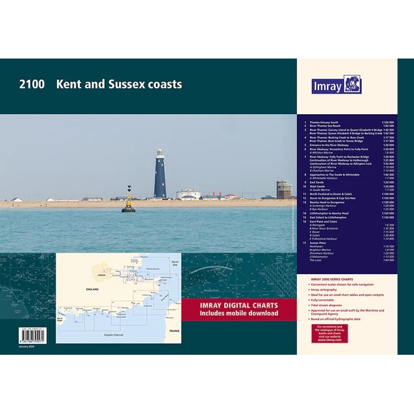
Kent and Sussex – chart pack – Imray 2100
Comprehensive nautical chart package for Kent and Sussex with coverage of coast, rivers and ports. Suitable for navigation and sailing. The map pack contains 17 map sheets with detailed approaches and harbor plans, providing good coverage for both planning and use along the way.
-
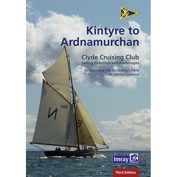
Kintyre to Ardnamurchan
Pilot book for sailing along the west coast of Scotland from Kintyre to Ardnamurchan, with detailed sailing descriptions and anchorages in challenging waters.
-

Knots and stings in the boat
Practical and easy-to-read guide to knots and stitches in boats – the right knots for safe and efficient use on board.
-
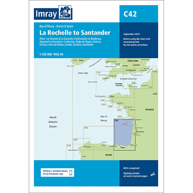
La Rochelle to Santander – Imray C42
Detailed Imray boating map for the Bay of Biscay from La Rochelle to Santander.
-
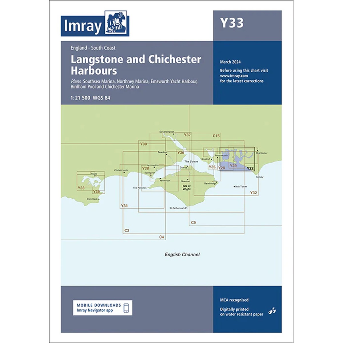
Langstone and Chichester Harbours – Imray Y33
Detailed boating map for Langstone Harbour and Chichester Harbour on the south coast of England. The map covers key marinas, harbors and approaches in a popular and tidal sailing area.
-
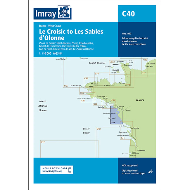
Le Croisic to Les Sables d’Olonne – Imray C40
Detailed Imray boating map for the French Atlantic coast from Le Croisic to Les Sables-d’Olonne.