British Admiralty Nautical Charts (BA Charts)
British Admiralty nautical charts (BA charts) are published by the UK Hydrographic Office (UKHO) and are among the world’s most recognized and widely used official nautical charts. The series comprises over 3,500 paper charts covering all oceans and most coastlines globally. Their history dates back to the 18th century, and for more than two hundred years, Admiralty charts have been a central part of safe navigation for international shipping.
BA charts are approved official navigation charts and are used by the merchant fleet, offshore vessels, and larger ships in international waters. They are often included as part of the legally required navigation basis and serve as important backup to electronic chart systems (ECDIS). At the same time, many long-distance cruisers and quality-conscious recreational sailors also choose Admiralty charts due to their detailed information, international standardization, and high reliability.
Admiralty charts are continuously updated through Notices to Mariners and are therefore normally produced on demand to ensure that you receive the latest available edition. Charts not in stock in Norway are delivered via our partner StormGeo in England, with DHL Express. Normal delivery time is 2–4 working days. If delivery time is critical, please contact us – and we will try to arrange the fastest possible delivery directly to the ship or port.
Popular British Admiralty Charts
-
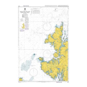
British Admiralty Chart 3281 – Shetland Islands, North-West Sheet
95,08 € Add to cart -
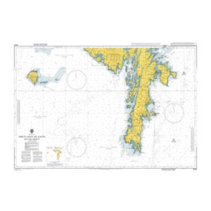
British Admiralty Chart 3282 – Shetland Islands, North-East Sheet
95,08 € Add to cart -
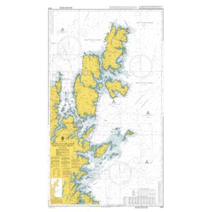
British Admiralty Chart 3283 – Shetland Islands, South Sheet
95,08 € Add to cart -
British Admiralty Chart 3284 – Moul of Eswick to Lunna Holm
95,08 € Add to cart -

British Admiralty Chart 3284 – Moul of Eswick to Lunna Holm
95,08 € Add to cart -
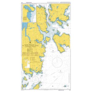
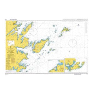
British Admiralty Chart 3292 – Eastern Approaches to Yell Sound
95,08 € Add to cart -
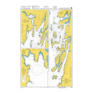
British Admiralty Chart 3294 – Harbors in the Shetland Islands (Mainland)
95,08 € Add to cart -
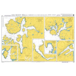
British Admiralty Chart 3295 – Harbors in the Shetland Islands
95,08 € Add to cart -
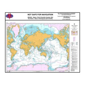
British Admiralty Chart 4000 – The World
95,08 € Add to cart -
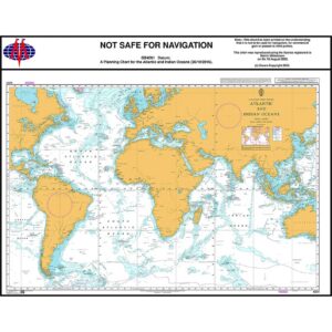
British Admiralty Chart 4001 – Atlantic and Indian Oceans – Planning Chart
95,08 € Add to cart -
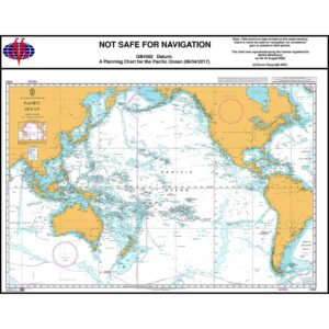
British Admiralty Chart 4002 – Pacific Ocean Planning Chart
95,08 € Add to cart -
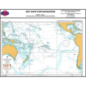
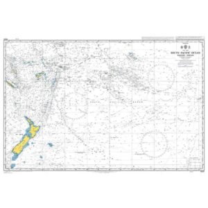
British Admiralty Chart 4007 – South Pacific Ocean – Planning Chart
95,08 € Add to cart -
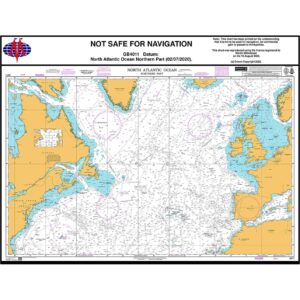
British Admiralty Chart 4011 – North Atlantic Ocean, Northern Part
95,08 € Add to cart -
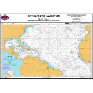
British Admiralty Chart 4012 – North Atlantic Ocean, Southern Part
95,08 € Add to cart -
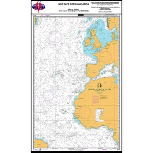
British Admiralty Chart 4014 – North Atlantic Ocean – Eastern Part
95,08 € Add to cart -
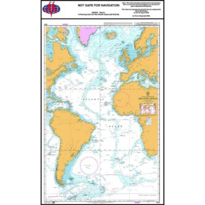
British Admiralty Chart 4015 – Atlantic Ocean – Planning Chart
95,08 € Add to cart -
British Admiralty Chart 4061 – South Pacific Ocean – Western Portion
95,08 € Add to cart -
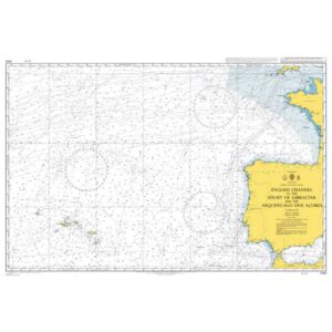
British Admiralty Chart 4103 – English Channel to Strait of Gibraltar
95,08 € Add to cart -
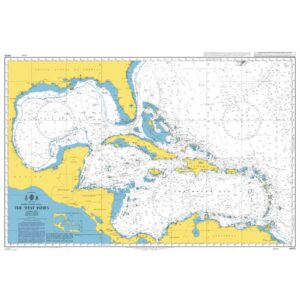
British Admiralty Chart 4400 – North Atlantic Ocean – The West Indies
95,08 € Add to cart -
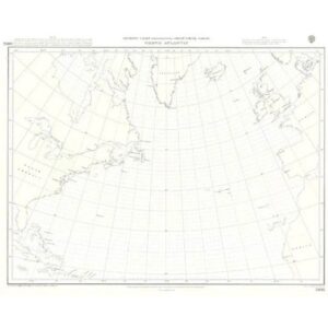
British Admiralty Chart 5095 – Gnomonic North Atlantic Ocean
95,08 € Add to cart -
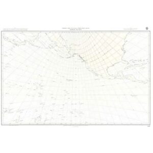
British Admiralty Chart 5097 – Gnomonic North Pacific Ocean
95,08 € Add to cart -
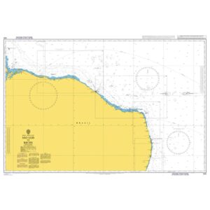
British Admiralty Chart 528 – São Luís to Recife
95,08 € Add to cart -
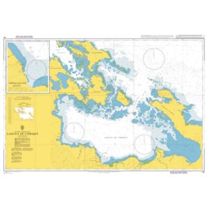
British Admiralty Chart 55 – Laguna de Chiriquí
95,08 € Add to cart -
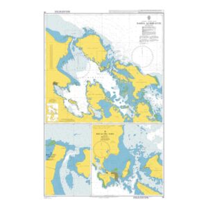
British Admiralty Chart 56 – Bahía Almirante
95,08 € Add to cart