British Admiralty Nautical Charts (BA Charts)
British Admiralty nautical charts (BA charts) are published by the UK Hydrographic Office (UKHO) and are among the world’s most recognized and widely used official nautical charts. The series comprises over 3,500 paper charts covering all oceans and most coastlines globally. Their history dates back to the 18th century, and for more than two hundred years, Admiralty charts have been a central part of safe navigation for international shipping.
BA charts are approved official navigation charts and are used by the merchant fleet, offshore vessels, and larger ships in international waters. They are often included as part of the legally required navigation basis and serve as important backup to electronic chart systems (ECDIS). At the same time, many long-distance cruisers and quality-conscious recreational sailors also choose Admiralty charts due to their detailed information, international standardization, and high reliability.
Admiralty charts are continuously updated through Notices to Mariners and are therefore normally produced on demand to ensure that you receive the latest available edition. Charts not in stock in Norway are delivered via our partner StormGeo in England, with DHL Express. Normal delivery time is 2–4 working days. If delivery time is critical, please contact us – and we will try to arrange the fastest possible delivery directly to the ship or port.
Popular British Admiralty Charts
-
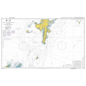
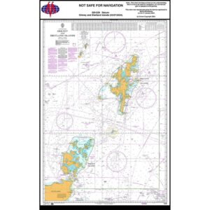
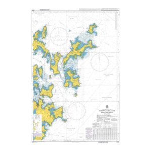
British Admiralty Chart 1119 – Orkney and Shetland Islands
97,01 € Add to cart -
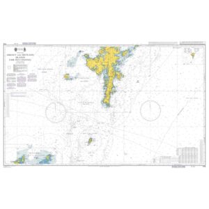
British Admiralty Chart 1119 – Orkney and Shetland Islands
97,01 € Add to cart -
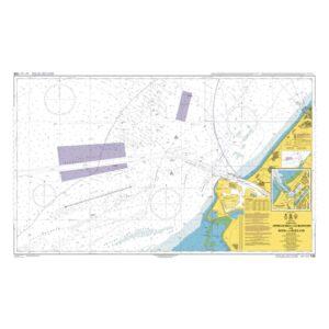
British Admiralty Chart 122 – Approaches to Europoort
97,01 € Add to cart -

British Admiralty Chart 1233 – Approaches to Shetland Islands
97,01 € Add to cart -
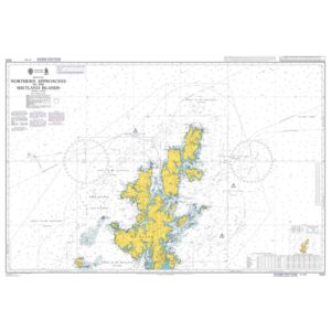
British Admiralty Chart 1233 – Approaches to Shetland Islands
97,01 € Add to cart -
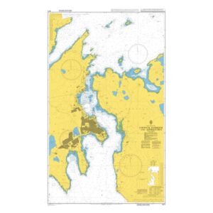
British Admiralty Chart 1239 – Orkney and Shetland Islands
97,01 € Add to cart -
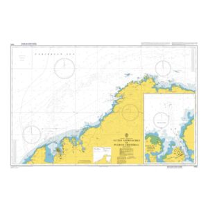
British Admiralty Chart 1400 – Outer Approaches to Puerto Cristóbal
97,01 € Add to cart -
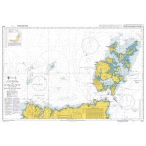
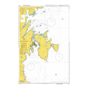
British Admiralty Chart 1954 – Cape Wrath to Pentland Firth
97,01 € Add to cart -
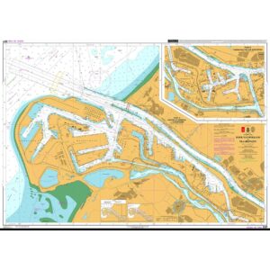
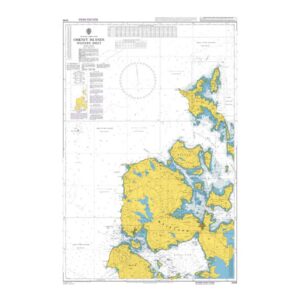
British Admiralty Chart 207 – Hook of Holland to Vlaardingen
97,01 € Add to cart -
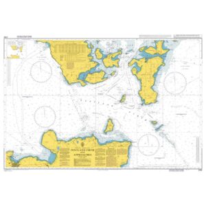
British Admiralty Chart 2162 – Pentland Firth and Approaches
97,01 € Add to cart -
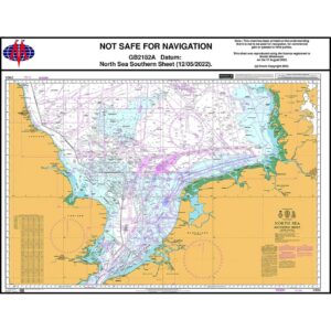
British Admiralty Chart 2182A – North Sea Southern Sheet
97,01 € Add to cart -
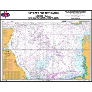
British Admiralty Chart 2182B – North Sea Central Sheet
97,01 € Add to cart -
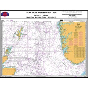
British Admiralty Chart 2182C – North Sea, Northern Sheet
97,01 € Add to cart -
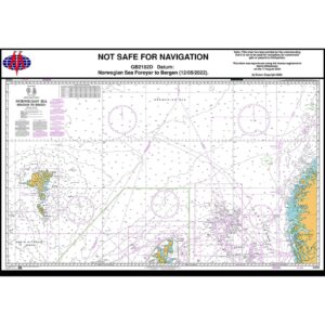
British Admiralty Chart 2182D – Norwegian Sea, Føroyar to Bergen
97,01 € Add to cart -
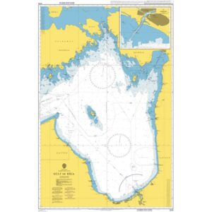
British Admiralty Chart 2215 – Gulf of Riga
97,01 € Add to cart -
British Admiralty Chart 2249 – Orkney Islands – Western Sheet
97,01 € Add to cart -
British Admiralty Chart 2250 – Orkney Islands, Eastern Sheet
97,01 € Add to cart -
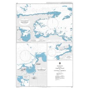
British Admiralty Chart 2417 – Harbors on the North Coast of Central America
97,01 € Add to cart -
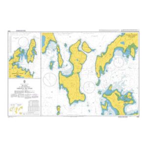
British Admiralty Chart 2562 – Plans in the Northern Orkney Islands
97,01 € Add to cart -
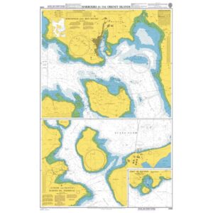
British Admiralty Chart 2568 – Harbors in the Orkney Islands
97,01 € Add to cart -

British Admiralty Chart 2584 – Approaches to Kirkwall
97,01 € Add to cart -
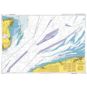
British Admiralty Chart 323 – Dover Strait, Eastern Part
97,01 € Add to cart -
British Admiralty Chart 3271 – Lerwick Harbour and Approaches
97,01 € Add to cart -
British Admiralty Chart 3272 – Moul of Eswick to Helli Ness
97,01 € Add to cart